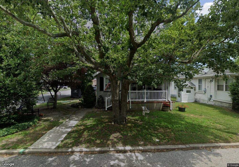
35 W Ocean Ave Somers Point, NJ 08244
Estimated Value: $363,769 - $404,000
2
Beds
1
Bath
1,172
Sq Ft
$324/Sq Ft
Est. Value
About This Home
This home is located at 35 W Ocean Ave, Somers Point, NJ 08244 and is currently estimated at $379,942, approximately $324 per square foot. 35 W Ocean Ave is a home located in Atlantic County with nearby schools including Mainland Regional High School, ChARTer TECH High School for the Performing Arts, and Saint Joseph Regional School.
Ownership History
Date
Name
Owned For
Owner Type
Purchase Details
Closed on
Aug 21, 2025
Sold by
Foreman Daniel G and Foreman Katie M
Bought by
Accardi Joseph John
Current Estimated Value
Home Financials for this Owner
Home Financials are based on the most recent Mortgage that was taken out on this home.
Original Mortgage
$320,000
Interest Rate
6.58%
Mortgage Type
New Conventional
Purchase Details
Closed on
May 30, 2008
Sold by
Sullivan Amy J
Bought by
Foreman Daniel G and Foreman Katie M
Home Financials for this Owner
Home Financials are based on the most recent Mortgage that was taken out on this home.
Original Mortgage
$189,600
Interest Rate
5.91%
Mortgage Type
Purchase Money Mortgage
Purchase Details
Closed on
Jul 31, 1991
Sold by
Kashuda Mark A
Bought by
Sullivan Amy J
Create a Home Valuation Report for This Property
The Home Valuation Report is an in-depth analysis detailing your home's value as well as a comparison with similar homes in the area
Home Values in the Area
Average Home Value in this Area
Purchase History
| Date | Buyer | Sale Price | Title Company |
|---|---|---|---|
| Accardi Joseph John | $400,000 | Infinity Title | |
| Foreman Daniel G | $213,100 | Commonwealth Land Title Insu | |
| Sullivan Amy J | $92,000 | -- |
Source: Public Records
Mortgage History
| Date | Status | Borrower | Loan Amount |
|---|---|---|---|
| Previous Owner | Accardi Joseph John | $320,000 | |
| Previous Owner | Foreman Daniel G | $189,600 |
Source: Public Records
Tax History Compared to Growth
Tax History
| Year | Tax Paid | Tax Assessment Tax Assessment Total Assessment is a certain percentage of the fair market value that is determined by local assessors to be the total taxable value of land and additions on the property. | Land | Improvement |
|---|---|---|---|---|
| 2025 | $6,197 | $173,300 | $64,000 | $132,800 |
| 2024 | $6,197 | $173,300 | $64,000 | $132,800 |
| 2023 | $5,790 | $173,300 | $0 | $0 |
| 2022 | $5,790 | $173,300 | $0 | $0 |
| 2021 | $5,703 | $173,300 | $0 | $0 |
| 2020 | $5,587 | $173,300 | $0 | $0 |
| 2019 | $5,429 | $196,800 | $64,000 | $132,800 |
| 2018 | $5,315 | $196,800 | $64,000 | $132,800 |
| 2017 | $5,124 | $173,300 | $64,000 | $109,300 |
| 2016 | $4,892 | $173,300 | $64,000 | $109,300 |
| 2015 | $4,842 | $173,300 | $64,000 | $109,300 |
| 2014 | $4,679 | $173,300 | $64,000 | $109,300 |
Source: Public Records
Map
Nearby Homes
- 301 Bliss Ave
- 206 Philadelphia Ave
- 6 Abbey Rd
- 25 Shore Rd
- 11 Shore Rd Unit 7D
- 33 W Meyran Ave
- 2 Shore Rd
- 116 W Ocean Ave
- 25 W Pierson Ave
- 19 E Ocean Heights Ave
- 2222 Grammercy Ave
- 118 E Wilmont Ave
- 223 W Wilmont Ave
- 29 E Pierson Ave
- 226 Bethel Rd
- 1102 Jesse Dr
- 2102 Angelina Ln
- 112 Kirklin Ave
- 98 New Rd
- 112 E Pierson Ave
- 33 W Ocean Ave
- 206 Bliss Ave
- 209 Bliss Ave
- 25 W Ocean Ave
- 207 Bliss Ave
- 204 Bliss Ave
- 207 Columbus Place
- 300 Bliss Ave
- 205 Bliss Ave
- 22 Ocean Heights Ave
- 301 Harrison Ave
- 202 Bliss Ave
- 204 Philadelphia Ave
- 203 Bliss Ave
- 302 Bliss Ave
- 203 Columbus Place
- 202 Philadelphia Ave
- 303 Harrison Ave
- 300 Philadelphia Ave
- 303 Bliss Ave