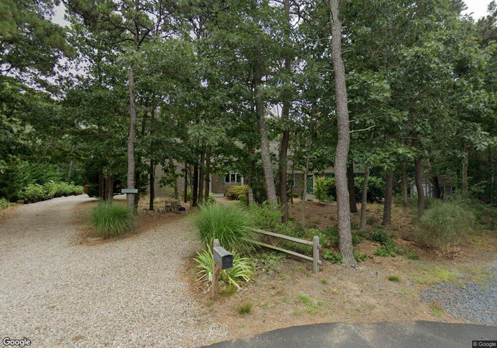
35 Wicklow Ln Eastham, MA 02642
Estimated Value: $920,000 - $1,109,000
4
Beds
3
Baths
1,921
Sq Ft
$520/Sq Ft
Est. Value
About This Home
This home is located at 35 Wicklow Ln, Eastham, MA 02642 and is currently estimated at $999,294, approximately $520 per square foot. 35 Wicklow Ln is a home located in Barnstable County with nearby schools including Eastham Elementary School, Nauset Regional Middle School, and Nauset Regional High School.
Ownership History
Date
Name
Owned For
Owner Type
Purchase Details
Closed on
Nov 12, 2010
Sold by
Dwyer Patricia L and Dwyer Alanna M
Bought by
Trimble Richard J
Current Estimated Value
Home Financials for this Owner
Home Financials are based on the most recent Mortgage that was taken out on this home.
Original Mortgage
$230,000
Outstanding Balance
$152,368
Interest Rate
4.35%
Mortgage Type
Purchase Money Mortgage
Estimated Equity
$846,926
Purchase Details
Closed on
Dec 21, 1993
Sold by
Pond Donald H and Pond Nettie F
Bought by
Dwyer Patricia L and Dwyer Alanna M
Home Financials for this Owner
Home Financials are based on the most recent Mortgage that was taken out on this home.
Original Mortgage
$148,800
Interest Rate
7.03%
Mortgage Type
Purchase Money Mortgage
Create a Home Valuation Report for This Property
The Home Valuation Report is an in-depth analysis detailing your home's value as well as a comparison with similar homes in the area
Home Values in the Area
Average Home Value in this Area
Purchase History
| Date | Buyer | Sale Price | Title Company |
|---|---|---|---|
| Trimble Richard J | $460,500 | -- | |
| Dwyer Patricia L | $186,000 | -- |
Source: Public Records
Mortgage History
| Date | Status | Borrower | Loan Amount |
|---|---|---|---|
| Open | Trimble Richard J | $230,000 | |
| Previous Owner | Dwyer Patricia L | $148,800 |
Source: Public Records
Tax History
| Year | Tax Paid | Tax Assessment Tax Assessment Total Assessment is a certain percentage of the fair market value that is determined by local assessors to be the total taxable value of land and additions on the property. | Land | Improvement |
|---|---|---|---|---|
| 2025 | $7,163 | $929,000 | $283,300 | $645,700 |
| 2024 | $6,324 | $902,200 | $275,100 | $627,100 |
| 2023 | $5,848 | $807,800 | $254,700 | $553,100 |
| 2022 | $5,344 | $622,900 | $227,400 | $395,500 |
| 2021 | $3,433 | $566,200 | $206,700 | $359,500 |
| 2020 | $3,332 | $569,800 | $232,100 | $337,700 |
| 2019 | $1,807 | $563,500 | $235,500 | $328,000 |
| 2018 | $4,602 | $551,100 | $228,700 | $322,400 |
| 2017 | $4,268 | $540,300 | $224,200 | $316,100 |
| 2016 | $3,761 | $505,500 | $195,000 | $310,500 |
| 2015 | $3,524 | $496,400 | $191,100 | $305,300 |
Source: Public Records
Map
Nearby Homes
- 10 Cartway N
- 40 Bayview Rd
- 55 Grandfathers Way
- 339 Dyer Prince Rd
- 330 Hay Rd
- 320 State Hwy
- 181 Rock Harbor Rd
- 6 Penny Ln
- 188 Rock Harbor Rd
- 1061 State Hwy Unit 4
- 1061 State Hwy Unit 1061
- 20 Kittiwake Ln
- 6 Defiance Ln
- 2 Reilly Run
- 32 Locust Rd
- 3 Reilly Run
- 25 Twin Rocks Dr
- 20 Namskaket Rd
- 13 S Orleans Rd Unit 28
- 17 Kings Way
- 60 Wicklow Ln
- 20 Wicklow Ln
- 30 Wicklow Ln
- 25 Wicklow Ln
- 10 Wicklow Ln
- 0 Wicklow Ln
- 870 Bridge Rd
- 15 Wicklow Ln
- 25 Salt Marsh Way
- 850 Bridge Rd
- 40 Salt Marsh Way
- 930 Bridge Rd
- 60 Ireland Way
- 20 Salt Marsh Way
- 830 Bridge Rd
- 855 Bridge Rd
- 28 Salt Marsh Way
- 24 Salt Marsh Way
- 895 Bridge Rd
- 26 Salt Marsh Way
Your Personal Tour Guide
Ask me questions while you tour the home.