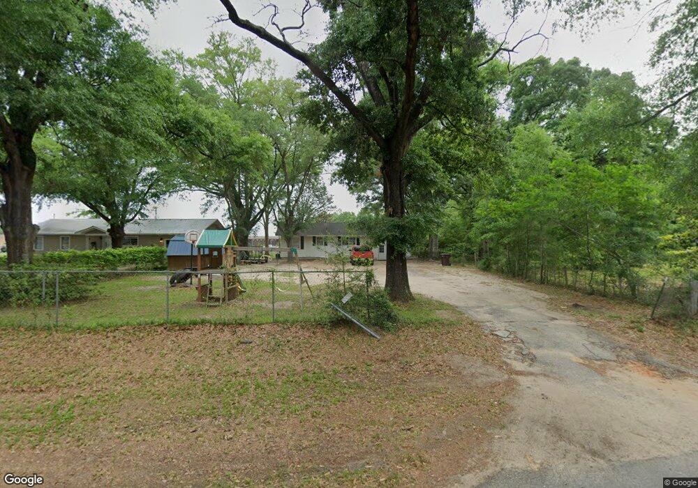
35 Willie Crook Ave Satsuma, AL 36572
Estimated Value: $87,202 - $244,000
--
Bed
--
Bath
816
Sq Ft
$173/Sq Ft
Est. Value
About This Home
This home is located at 35 Willie Crook Ave, Satsuma, AL 36572 and is currently estimated at $141,301, approximately $173 per square foot. 35 Willie Crook Ave is a home with nearby schools including Robert E. Lee Elementary School, Satsuma High School, and Satsuma Christian School.
Ownership History
Date
Name
Owned For
Owner Type
Purchase Details
Closed on
Dec 14, 2024
Sold by
Baxter Tom L
Bought by
Barrios Jessica Rebecca Leig
Current Estimated Value
Purchase Details
Closed on
May 22, 2015
Sold by
Baxter Tom L and Baxter Peggy W
Bought by
Barrios Jessica Rebecca Leigh and Barrios Alfred Stephen
Purchase Details
Closed on
Jul 12, 2004
Sold by
Reed Frances Sue
Bought by
Baxter Tom L and Baxter Peggy W
Home Financials for this Owner
Home Financials are based on the most recent Mortgage that was taken out on this home.
Original Mortgage
$31,478
Interest Rate
6.25%
Mortgage Type
Unknown
Create a Home Valuation Report for This Property
The Home Valuation Report is an in-depth analysis detailing your home's value as well as a comparison with similar homes in the area
Home Values in the Area
Average Home Value in this Area
Purchase History
| Date | Buyer | Sale Price | Title Company |
|---|---|---|---|
| Barrios Jessica Rebecca Leig | -- | None Listed On Document | |
| Barrios Jessica Rebecca Leig | -- | None Listed On Document | |
| Barrios Jessica Rebecca Leigh | $62,500 | None Available | |
| Baxter Tom L | $38,000 | The Guarantee Title Co Llc |
Source: Public Records
Mortgage History
| Date | Status | Borrower | Loan Amount |
|---|---|---|---|
| Previous Owner | Baxter Tom L | $31,478 |
Source: Public Records
Tax History Compared to Growth
Tax History
| Year | Tax Paid | Tax Assessment Tax Assessment Total Assessment is a certain percentage of the fair market value that is determined by local assessors to be the total taxable value of land and additions on the property. | Land | Improvement |
|---|---|---|---|---|
| 2024 | $328 | $6,470 | $2,400 | $4,070 |
| 2023 | $229 | $4,850 | $1,300 | $3,550 |
| 2022 | $229 | $4,850 | $1,300 | $3,550 |
| 2021 | $228 | $4,830 | $1,300 | $3,530 |
| 2020 | $228 | $4,830 | $1,300 | $3,530 |
| 2019 | $216 | $4,640 | $0 | $0 |
| 2018 | $216 | $4,640 | $0 | $0 |
| 2017 | $216 | $4,640 | $0 | $0 |
| 2016 | $587 | $9,620 | $0 | $0 |
| 2013 | $580 | $9,300 | $0 | $0 |
Source: Public Records
Map
Nearby Homes
- 39 Brice Ave
- 0 Willie Crook Ave
- 5454 3rd St
- 100 Baker Rd
- 5503 Darring St
- 5509 Darring St
- 5303 U S 43
- 150 Orange Ave E
- 207 Maple Ave E
- 5640 Orchard St
- 0 Travelers Ct Unit 34 315632
- 0 Orchard St
- 152 Dewitt Ave
- 5454 Colony Trace Ct
- 0 Travellers Ct Unit 34 0653435
- 315 Thunderbird Dr
- 0 Kalifield Blvd Unit 25 384900
- 0 Kalifield Blvd Unit 7646196
- 336 Avondale Ct
- 5366 Scanlan Way E
- 31 Bradford Ave
- 31 Willie Crook Ave
- 440 B Willie Crook Ave
- 39 Willie Crook Ave
- 27 Willie Crook Ave
- 45 Bradford Ave
- 25 Willie Crook Ave
- 45 Willie Crook Ave
- 30 Willie Crook Ave
- 32 Willie Crook Ave
- 23 Willie Crook Ave
- 28 Willie Crook Ave
- 51 Willie Crook Ave
- 49 Bradford Ave
- 24 Willie Crook Ave
- 19 Bradford Ave
- 46 Willie Crook Ave
- 54 Bradford Ave
- 22 Willie Crook Ave
- 0 Bradford Ave Unit 45