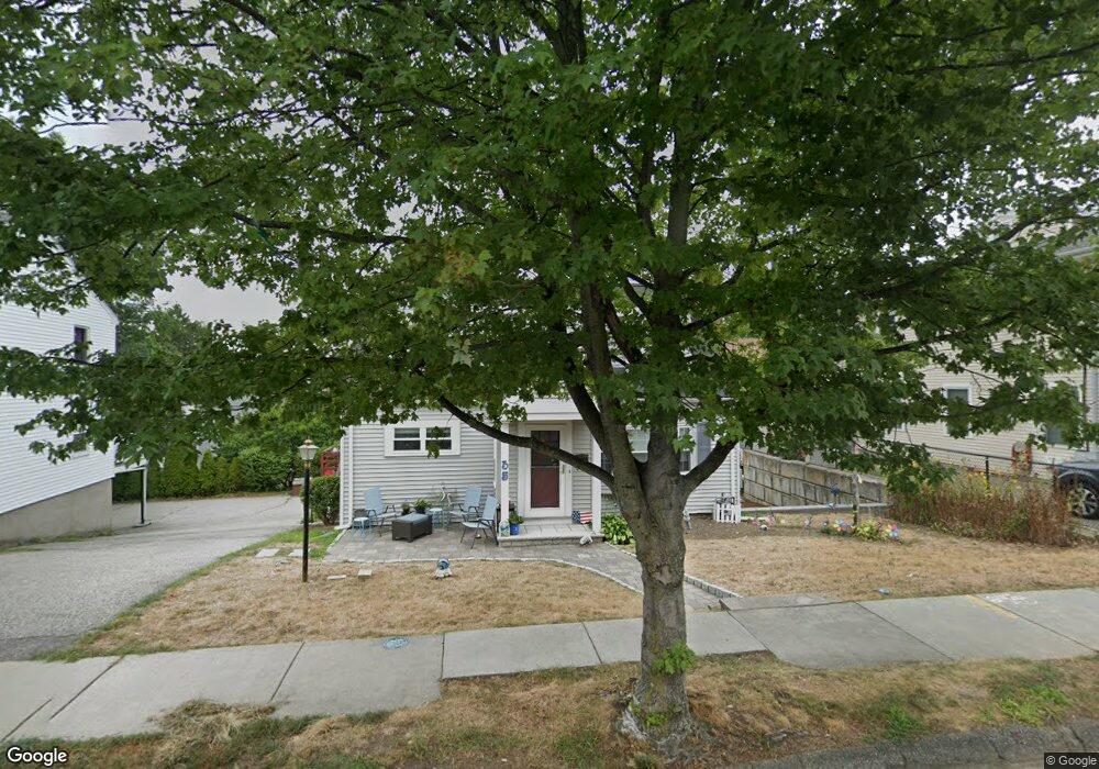
35 Wilson Ave Watertown, MA 02472
West Watertown NeighborhoodEstimated Value: $803,000 - $1,172,000
2
Beds
2
Baths
1,755
Sq Ft
$561/Sq Ft
Est. Value
About This Home
This home is located at 35 Wilson Ave, Watertown, MA 02472 and is currently estimated at $983,690, approximately $560 per square foot. 35 Wilson Ave is a home located in Middlesex County with nearby schools including The Kendall School and Beacon High School.
Ownership History
Date
Name
Owned For
Owner Type
Purchase Details
Closed on
Jan 27, 1999
Sold by
Pugliese Frederick L and Abramson Patricia
Bought by
Pugliese Anne
Current Estimated Value
Home Financials for this Owner
Home Financials are based on the most recent Mortgage that was taken out on this home.
Original Mortgage
$150,000
Outstanding Balance
$35,291
Interest Rate
6.67%
Mortgage Type
Purchase Money Mortgage
Estimated Equity
$948,399
Create a Home Valuation Report for This Property
The Home Valuation Report is an in-depth analysis detailing your home's value as well as a comparison with similar homes in the area
Home Values in the Area
Average Home Value in this Area
Purchase History
| Date | Buyer | Sale Price | Title Company |
|---|---|---|---|
| Pugliese Anne | $150,000 | -- |
Source: Public Records
Mortgage History
| Date | Status | Borrower | Loan Amount |
|---|---|---|---|
| Open | Pugliese Anne | $150,000 |
Source: Public Records
Tax History Compared to Growth
Tax History
| Year | Tax Paid | Tax Assessment Tax Assessment Total Assessment is a certain percentage of the fair market value that is determined by local assessors to be the total taxable value of land and additions on the property. | Land | Improvement |
|---|---|---|---|---|
| 2025 | $9,797 | $838,800 | $525,600 | $313,200 |
| 2024 | $8,673 | $741,300 | $496,900 | $244,400 |
| 2023 | $9,684 | $713,100 | $475,300 | $237,800 |
| 2022 | $8,931 | $674,000 | $432,100 | $241,900 |
| 2021 | $8,080 | $659,600 | $417,700 | $241,900 |
| 2020 | $7,833 | $645,200 | $403,300 | $241,900 |
| 2019 | $7,509 | $583,000 | $403,300 | $179,700 |
| 2018 | $6,977 | $518,000 | $374,500 | $143,500 |
| 2017 | $6,545 | $471,200 | $327,700 | $143,500 |
| 2016 | $6,200 | $453,200 | $309,700 | $143,500 |
| 2015 | $6,271 | $417,200 | $273,700 | $143,500 |
| 2014 | $5,972 | $399,200 | $255,700 | $143,500 |
Source: Public Records
Map
Nearby Homes
- 748 Belmont St
- 98 Carroll St Unit 98
- 50 Carroll St Unit 50
- 47 Fuller Rd Unit 47
- 45 Fuller Rd Unit 45
- 43 Fuller Rd Unit 45
- 2 Bartlett Ave Unit 1
- 28 Whitney St
- 33 Slade St Unit 1
- 220 Westminster Ave
- 125 Trapelo Rd Unit 21
- 125 Trapelo Rd Unit 23
- 59-61 Gilbert Rd
- 57 Pierce Rd Unit 57
- 172 Westminster Ave Unit 1
- 214 Palfrey St
- 72-74 Flett Rd
- 15 Elmwood Ave
- 9 Bancroft St Unit 11
- 456 Belmont St Unit 10
- 39 Wilson Ave
- 29 Wilson Ave Unit 31
- 26 York Ave
- 41 Wilson Ave
- 41 Wilson Ave Unit 41
- 32 York Ave
- 22 York Ave
- 45 Wilson Ave Unit 45
- 25 Wilson Ave Unit 25
- 23 Wilson Ave
- 36 York Ave Unit 36
- 43 Wilson Ave
- 43 Wilson Ave Unit 43
- 30 Wilson Ave
- 38 York Ave
- 32 Wilson Ave
- 42 Wilson Ave
- 42 Wilson Ave Unit 42
- 42 Wilson Ave Unit 1
- 18 York Ave Unit 20