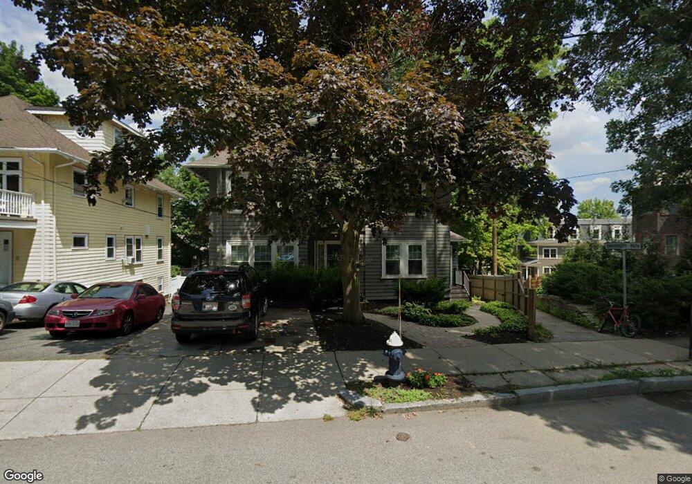
35 Winthrop Rd Unit 37 Brookline, MA 02445
Washington Square NeighborhoodEstimated Value: $2,257,000 - $2,670,477
8
Beds
4
Baths
3,544
Sq Ft
$702/Sq Ft
Est. Value
About This Home
This home is located at 35 Winthrop Rd Unit 37, Brookline, MA 02445 and is currently estimated at $2,487,119, approximately $701 per square foot. 35 Winthrop Rd Unit 37 is a home located in Norfolk County with nearby schools including Pierce School, Brookline High School, and St. Mary of the Assumption Elementary School.
Ownership History
Date
Name
Owned For
Owner Type
Purchase Details
Closed on
Jun 16, 2025
Sold by
James Kirk A and James Fern
Bought by
Wichs Daniel and Libby Elizabeth
Current Estimated Value
Home Financials for this Owner
Home Financials are based on the most recent Mortgage that was taken out on this home.
Original Mortgage
$1,500,000
Outstanding Balance
$1,490,928
Interest Rate
6%
Mortgage Type
Purchase Money Mortgage
Estimated Equity
$996,191
Purchase Details
Closed on
Sep 29, 1989
Sold by
Noah Albert S
Bought by
James Kirk A
Purchase Details
Closed on
Sep 28, 1989
Sold by
Noah Albert S and Noah Alice
Bought by
James Kirk A and James Fern
Create a Home Valuation Report for This Property
The Home Valuation Report is an in-depth analysis detailing your home's value as well as a comparison with similar homes in the area
Home Values in the Area
Average Home Value in this Area
Purchase History
| Date | Buyer | Sale Price | Title Company |
|---|---|---|---|
| Wichs Daniel | $2,452,000 | None Available | |
| Wichs Daniel | $2,452,000 | None Available | |
| James Kirk A | $389,400 | -- | |
| James Kirk A | $389,400 | -- | |
| James Kirk A | $389,400 | None Available | |
| James Kirk A | $389,400 | None Available | |
| James Kirk A | $389,400 | None Available |
Source: Public Records
Mortgage History
| Date | Status | Borrower | Loan Amount |
|---|---|---|---|
| Open | Wichs Daniel | $1,500,000 | |
| Closed | Wichs Daniel | $1,500,000 | |
| Previous Owner | James Kirk A | $398,000 | |
| Previous Owner | James Kirk A | $400,000 |
Source: Public Records
Tax History
| Year | Tax Paid | Tax Assessment Tax Assessment Total Assessment is a certain percentage of the fair market value that is determined by local assessors to be the total taxable value of land and additions on the property. | Land | Improvement |
|---|---|---|---|---|
| 2025 | $23,751 | $2,406,400 | $1,233,800 | $1,172,600 |
| 2024 | $23,394 | $2,394,500 | $1,186,300 | $1,208,200 |
| 2023 | $22,041 | $2,210,700 | $981,100 | $1,229,600 |
| 2022 | $21,454 | $2,105,400 | $934,300 | $1,171,100 |
| 2021 | $19,839 | $2,024,400 | $898,400 | $1,126,000 |
| 2020 | $18,752 | $1,984,300 | $816,800 | $1,167,500 |
| 2019 | $17,707 | $1,889,800 | $777,900 | $1,111,900 |
| 2018 | $15,853 | $1,675,800 | $628,600 | $1,047,200 |
| 2017 | $15,332 | $1,551,800 | $593,200 | $958,600 |
| 2016 | $12,696 | $1,218,400 | $554,400 | $664,000 |
| 2015 | $11,326 | $1,060,500 | $471,000 | $589,500 |
| 2014 | $10,807 | $948,800 | $428,100 | $520,700 |
Source: Public Records
Map
Nearby Homes
- 84 Winthrop Rd Unit 1
- 84 Winthrop Rd
- 4 Fairbanks St Unit 2
- 15 Colbourne Crescent Unit 2
- 89 University Rd
- 57 University Rd Unit 3
- 90 Addington Rd Unit 1
- 90 Addington Rd Unit 2
- 1490 Beacon St Unit 4
- 71 Greenough St Unit 71-1
- 30 York Terrace
- 20 Claflin Rd Unit A
- 80 Vernon St Unit 1-A
- 80 Vernon St Unit 2B
- 80 Vernon St Unit PHA
- 80 Vernon St Unit 3A
- 80 Vernon St Unit 3B
- 15 Short St Unit 4
- 1618 Beacon St Unit 1
- 1620 Beacon St
- 39 Winthrop Rd Unit 41
- 41 Winthrop Rd Unit 41
- 145 University Rd Unit 2
- 145 University Rd Unit 1
- 145 University Rd Unit 2 145
- 145 University Rd Unit 1, 145
- 47 Winthrop Rd Unit 1
- 47 Winthrop Rd Unit 2
- 47 Winthrop Rd
- 139 University Rd Unit 2
- 139 University Rd Unit 1
- 36 Winthrop Rd
- 34 Winthrop Rd
- 147 University Rd Unit 149
- 147 University Rd
- 25 Royal Rd
- 31 Winthrop Rd
- 29 Winthrop Rd
- 29 Winthrop Rd
- 31 Winthrop Rd Unit 31
Your Personal Tour Guide
Ask me questions while you tour the home.