Estimated Value: $397,000 - $437,607
2
Beds
1
Bath
805
Sq Ft
$520/Sq Ft
Est. Value
About This Home
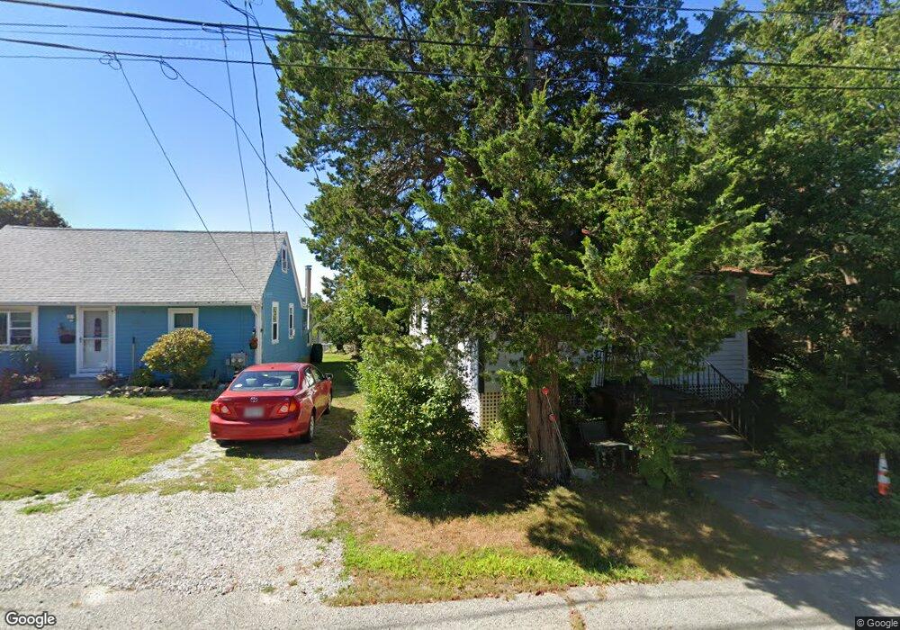
This home is located at 35 Wyola Rd, Hull, MA 02045 and is currently estimated at $418,402, approximately $519 per square foot. 35 Wyola Rd is a home with nearby schools including Lillian M. Jacobs Elementary School, Memorial Middle School, and Hull High School.
Ownership History
Date
Name
Owned For
Owner Type
Purchase Details
Closed on
Apr 25, 2025
Sold by
Seitz Peter T
Bought by
Seitz Peter T and Seitz Nancy J
Current Estimated Value
Purchase Details
Closed on
Dec 1, 2015
Sold by
Seitz Peter T and Seitz Frederick B
Bought by
Seitz 3Rd Frederick B
Create a Home Valuation Report for This Property
The Home Valuation Report is an in-depth analysis detailing your home's value as well as a comparison with similar homes in the area
Purchase History
| Date | Buyer | Sale Price | Title Company |
|---|---|---|---|
| Seitz Peter T | -- | None Available | |
| Seitz Peter T | -- | None Available | |
| Seitz 3Rd Frederick B | -- | -- | |
| Seitz 3Rd Frederick B | -- | -- |
Source: Public Records
Tax History
| Year | Tax Paid | Tax Assessment Tax Assessment Total Assessment is a certain percentage of the fair market value that is determined by local assessors to be the total taxable value of land and additions on the property. | Land | Improvement |
|---|---|---|---|---|
| 2025 | $3,904 | $348,600 | $239,100 | $109,500 |
| 2024 | $3,884 | $333,400 | $230,800 | $102,600 |
| 2023 | $3,790 | $311,400 | $214,300 | $97,100 |
| 2022 | $3,639 | $290,200 | $197,900 | $92,300 |
| 2021 | $5,293 | $280,800 | $189,600 | $91,200 |
| 2020 | $3,647 | $284,500 | $189,600 | $94,900 |
| 2019 | $4,985 | $270,400 | $181,400 | $89,000 |
| 2018 | $4,672 | $260,200 | $181,400 | $78,800 |
| 2017 | $3,263 | $237,800 | $164,900 | $72,900 |
| 2016 | $3,206 | $237,800 | $164,900 | $72,900 |
| 2015 | $2,969 | $213,000 | $140,100 | $72,900 |
| 2014 | $2,896 | $208,800 | $140,100 | $68,700 |
Source: Public Records
Map
Nearby Homes
- 23 Wyola Rd
- 22 Berkley Rd Unit B
- 10 Berkley Rd Unit A
- 121 Nantasket Ave Unit 503
- 99 Nantasket Ave
- 120 Nantasket Ave Unit 207
- 120 Nantasket Ave Unit 204
- 120 Nantasket Ave Unit 304
- 120 Nantasket Ave Unit PH5
- 120 Nantasket Ave Unit 201
- 1 Longbeach Ave Unit 202
- 155 George Washington Blvd Unit 210
- 62 Oceanside Dr
- 6 State Park Rd Unit 2
- 0 Seaview Ave
- 37 Richards Rd
- 10 Chestnut Place
- 2 Cliff Rd
- 181 Atlantic Ave
- 6 Montana Ave
- 33 Wyola Rd
- 29 Wyola Rd
- 41 Wyola Rd
- 34 Wyola Rd
- 34 Rockaway Ave
- 42 Rockaway Ave
- 42 Wyola Rd
- 20 Rockview Rd
- 32 Rockaway Ave
- 49 Wyola Rd
- 46 Rockaway Ave
- 0 Delewanda Rd Unit 70811910
- 0 Delewanda Rd Unit 70937248
- 0 Delewanda Rd Unit 70937429
- 22 Rockview Rd
- 51 Wyola Rd
- 50 Wyola Rd
- 48 Rockaway Ave
- 22 Wyola Rd
- 11 Rockview Rd
Your Personal Tour Guide
Ask me questions while you tour the home.