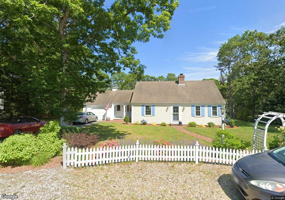
350 Capn Lijahs Rd Centerville, MA 02632
Centerville NeighborhoodEstimated Value: $733,204 - $794,000
3
Beds
3
Baths
2,371
Sq Ft
$320/Sq Ft
Est. Value
About This Home
This home is located at 350 Capn Lijahs Rd, Centerville, MA 02632 and is currently estimated at $759,801, approximately $320 per square foot. 350 Capn Lijahs Rd is a home located in Barnstable County with nearby schools including Centerville Elementary School, Barnstable United Elementary School, and Barnstable Intermediate School.
Ownership History
Date
Name
Owned For
Owner Type
Purchase Details
Closed on
May 15, 2013
Sold by
Sundberg Charlotte S and Sundberg Robert A
Bought by
Rosebud T T and Rosebud Sundberg
Current Estimated Value
Purchase Details
Closed on
May 5, 2006
Sold by
New Wave Fncl Inc
Bought by
Sundberg Charlotte S and Sundberg Robert A
Purchase Details
Closed on
Jul 7, 2004
Sold by
Lee Melinda B
Bought by
New Wave Financial Inc
Purchase Details
Closed on
Jan 24, 2002
Sold by
Webb Sandra
Bought by
Lee Melinda B
Home Financials for this Owner
Home Financials are based on the most recent Mortgage that was taken out on this home.
Original Mortgage
$209,200
Interest Rate
7.08%
Mortgage Type
Purchase Money Mortgage
Create a Home Valuation Report for This Property
The Home Valuation Report is an in-depth analysis detailing your home's value as well as a comparison with similar homes in the area
Home Values in the Area
Average Home Value in this Area
Purchase History
| Date | Buyer | Sale Price | Title Company |
|---|---|---|---|
| Rosebud T T | -- | -- | |
| Sundberg Charlotte S | $430,000 | -- | |
| New Wave Financial Inc | $339,000 | -- | |
| Lee Melinda B | $261,500 | -- |
Source: Public Records
Mortgage History
| Date | Status | Borrower | Loan Amount |
|---|---|---|---|
| Previous Owner | Lee Melinda B | $209,200 | |
| Previous Owner | Lee Melinda B | $209,200 |
Source: Public Records
Tax History
| Year | Tax Paid | Tax Assessment Tax Assessment Total Assessment is a certain percentage of the fair market value that is determined by local assessors to be the total taxable value of land and additions on the property. | Land | Improvement |
|---|---|---|---|---|
| 2025 | $5,453 | $674,100 | $152,200 | $521,900 |
| 2024 | $5,046 | $646,100 | $152,200 | $493,900 |
| 2023 | $4,846 | $581,000 | $138,400 | $442,600 |
| 2022 | $4,560 | $473,000 | $102,500 | $370,500 |
| 2021 | $4,380 | $417,500 | $102,500 | $315,000 |
| 2020 | $4,243 | $387,100 | $102,500 | $284,600 |
| 2019 | $4,042 | $358,300 | $102,500 | $255,800 |
| 2018 | $2,034 | $327,500 | $107,900 | $219,600 |
| 2017 | $3,408 | $316,700 | $107,900 | $208,800 |
| 2016 | $3,461 | $317,500 | $108,700 | $208,800 |
| 2015 | $3,488 | $321,500 | $105,400 | $216,100 |
Source: Public Records
Map
Nearby Homes
- 324 Patriot Way
- 66 Tern Ln
- 73 Tern Ln
- 900 Old Stage Rd
- 29 Appaloosa Way
- 296 Buckskin Path
- 74 Saddler Ln
- 87 Foxglove Rd
- 350 Plum St
- 315 Prince Hinckley Rd
- 1115 Shootflying Hill Rd
- 97 Yacht Club Rd
- 367 Plum St
- 169 Cedric Rd
- 82 Yacht Club Rd
- 5 Chickadee Ln
- 282 Parker Rd
- 159 Willow Run Dr
- 481 Lakeside Dr W
- 357 Lakeside Dr W
- 350 Cap'N Lijah's Rd Unit 1B
- 15 Vista Cir
- 366 Capn Lijahs Rd
- 366 Cap'N Lijah Rd
- 336 Cap'N Lijah's Rd
- 336 Capn Lijahs Rd
- 359 Cap'N Lijah's Rd
- 11 Vista Cir
- 359 Capn Lijahs Rd
- 5 Vista Cir
- 40 Gorham Ln
- 359 Captain Lijahs Rd
- 55 Hillside Dr
- 12 Vista Cir
- 369 Capn Lijahs Rd
- 47 Hillside Dr
- 326 Capn Lijahs Rd
- 372 Capn Lijahs Rd
- 39 Gorham Ln
- 6 Vista Cir
Your Personal Tour Guide
Ask me questions while you tour the home.