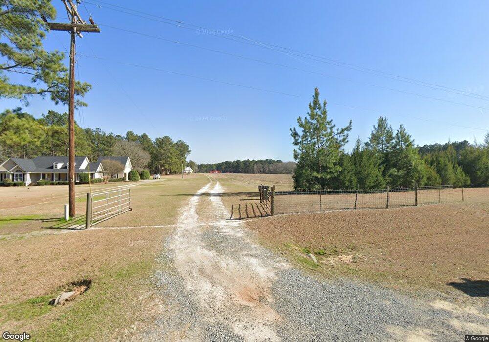
350 Carson Sands Rd Claxton, GA 30417
Estimated Value: $272,000 - $1,335,983
4
Beds
4
Baths
3,060
Sq Ft
$238/Sq Ft
Est. Value
About This Home
This home is located at 350 Carson Sands Rd, Claxton, GA 30417 and is currently estimated at $728,661, approximately $238 per square foot. 350 Carson Sands Rd is a home with nearby schools including Claxton Elementary School, Second Chance, and Claxton Middle School.
Ownership History
Date
Name
Owned For
Owner Type
Purchase Details
Closed on
Apr 19, 2021
Sold by
Olliff Robert
Bought by
Warnell Herbert D
Current Estimated Value
Purchase Details
Closed on
Jul 24, 2015
Sold by
Mayhaw Land Co Llc
Bought by
Rck Farms Llc
Purchase Details
Closed on
Jan 4, 2008
Sold by
Blocker Cale
Bought by
Mayhaw Land Company Llc
Purchase Details
Closed on
Dec 28, 2007
Sold by
Blocker Cale
Bought by
Maryhwe Land Company Llc
Create a Home Valuation Report for This Property
The Home Valuation Report is an in-depth analysis detailing your home's value as well as a comparison with similar homes in the area
Home Values in the Area
Average Home Value in this Area
Purchase History
| Date | Buyer | Sale Price | Title Company |
|---|---|---|---|
| Warnell Herbert D | $998,927 | -- | |
| Olliff Robert | -- | -- | |
| Rck Farms Llc | $739,134 | -- | |
| Mayhaw Land Company Llc | $586,900 | -- | |
| Maryhwe Land Company Llc | $586,945 | -- |
Source: Public Records
Tax History Compared to Growth
Tax History
| Year | Tax Paid | Tax Assessment Tax Assessment Total Assessment is a certain percentage of the fair market value that is determined by local assessors to be the total taxable value of land and additions on the property. | Land | Improvement |
|---|---|---|---|---|
| 2024 | $5,181 | $362,880 | $199,080 | $163,800 |
| 2023 | $5,217 | $292,480 | $164,480 | $128,000 |
| 2022 | $7,511 | $292,480 | $164,480 | $128,000 |
| 2021 | $1,994 | $164,480 | $164,480 | $0 |
| 2020 | $2,063 | $164,480 | $164,480 | $0 |
| 2019 | $2,142 | $164,480 | $164,480 | $0 |
| 2018 | $2,299 | $164,480 | $164,480 | $0 |
| 2017 | $2,244 | $164,480 | $164,480 | $0 |
| 2016 | $2,350 | $196,040 | $196,040 | $0 |
| 2015 | -- | $162,720 | $162,720 | $0 |
| 2014 | -- | $162,720 | $162,720 | $0 |
| 2013 | -- | $162,720 | $162,720 | $0 |
Source: Public Records
Map
Nearby Homes
- 8893 Sunbury Rd
- 13320 Sunbury Rd
- 0 Gus Tippins Rd Unit 25437413
- 0 George Strickland Rd Unit 10626764
- 3772 US Highway 301
- 2571 Edgar Hodges Rd
- 3156 Sterling Rd
- 107 E Liberty St
- 201 New Dr
- 12 S Duval St
- 3 Honeysuckle Dr
- 0 Ga Hwy 129 N Unit 10564606
- 7 Honeysuckle Dr
- 9 Honeysuckle Dr
- 10 Honeysuckle Dr
- 7 Honeysuckle Way
- 12 Wisteria Ln
- 12 Wysteria Ln
- 107 Marguerite St
- 0 Sunbury Rd Unit Tract 6
- 322 Carson Sands Rd
- 51 John W Tippins Rd
- 299 Carson Sands Rd
- 0 Carson Sands Rd Unit 8210745
- 0 Carson Sands Rd Unit 8747995
- 940 Bull Creek Church Rd
- 294 Rogers Road Spur
- 753 Wall Dyess Rd
- 549 Pecan Ln
- 997 Bull Creek Church Rd
- 300 Bull Creek Church Rd
- 259 Sims Brothers Rd
- 242 Bull Creek Church Rd
- 572 John W Tippins Rd
- 271 Bull Creek Church Rd
- 452 John W Tippins Rd
- 228 Bull Creek Church Rd
