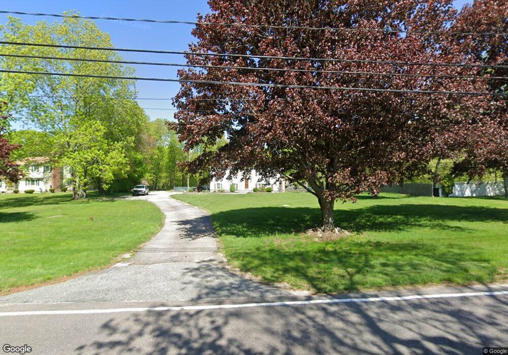
350 Colonel Ledyard Hwy Ledyard, CT 06339
Estimated Value: $368,000 - $416,000
3
Beds
2
Baths
1,144
Sq Ft
$346/Sq Ft
Est. Value
About This Home
This home is located at 350 Colonel Ledyard Hwy, Ledyard, CT 06339 and is currently estimated at $395,262, approximately $345 per square foot. 350 Colonel Ledyard Hwy is a home located in New London County with nearby schools including Ledyard Middle School and Ledyard High School.
Ownership History
Date
Name
Owned For
Owner Type
Purchase Details
Closed on
Jan 14, 2016
Sold by
West Michael and West Janine M
Bought by
West Michael
Current Estimated Value
Purchase Details
Closed on
Jan 21, 1994
Sold by
Mitchell John E and Mitchell Denise B
Bought by
West Michael and Rondeau Janine
Purchase Details
Closed on
Aug 30, 1990
Sold by
Evans Thomas
Bought by
Evans Patricia
Purchase Details
Closed on
Nov 13, 1987
Sold by
Evans Thomas
Bought by
Arcari Diane
Create a Home Valuation Report for This Property
The Home Valuation Report is an in-depth analysis detailing your home's value as well as a comparison with similar homes in the area
Home Values in the Area
Average Home Value in this Area
Purchase History
| Date | Buyer | Sale Price | Title Company |
|---|---|---|---|
| West Michael | -- | -- | |
| West Michael | $126,500 | -- | |
| Evans Patricia | $133,500 | -- | |
| Arcari Diane | $150,000 | -- |
Source: Public Records
Mortgage History
| Date | Status | Borrower | Loan Amount |
|---|---|---|---|
| Open | Arcari Diane | $55,000 | |
| Previous Owner | Arcari Diane | $40,000 |
Source: Public Records
Tax History Compared to Growth
Tax History
| Year | Tax Paid | Tax Assessment Tax Assessment Total Assessment is a certain percentage of the fair market value that is determined by local assessors to be the total taxable value of land and additions on the property. | Land | Improvement |
|---|---|---|---|---|
| 2025 | $6,671 | $179,620 | $49,840 | $129,780 |
| 2024 | $6,324 | $179,620 | $49,840 | $129,780 |
| 2023 | $6,208 | $179,620 | $49,840 | $129,780 |
| 2022 | $6,075 | $179,620 | $49,840 | $129,780 |
| 2021 | $6,035 | $179,620 | $49,840 | $129,780 |
| 2020 | $5,716 | $163,450 | $47,390 | $116,060 |
| 2019 | $5,731 | $163,450 | $47,390 | $116,060 |
| 2018 | $5,605 | $163,450 | $47,390 | $116,060 |
| 2017 | $5,319 | $163,450 | $47,390 | $116,060 |
| 2016 | $5,214 | $163,450 | $47,390 | $116,060 |
| 2015 | $4,969 | $163,450 | $47,390 | $116,060 |
| 2014 | $4,896 | $163,730 | $49,840 | $113,890 |
Source: Public Records
Map
Nearby Homes
- 186 Haley Rd
- 254 Haley Rd
- 22 Spring Valley Rd
- 173 Lambtown Rd
- 46 Hillside Dr
- 36 Watrous Ave
- 452 Colonel Ledyard Hwy
- 2590 Gold Star Hwy Unit 210
- 308 Shewville Rd
- 115 Lamphere Rd
- 314 Shewville Rd
- 17 Lamphere Rd
- 116 Indigo St
- 9 Reservoir View
- 1459 Gold Star Hwy
- 148 Gallup Hill Rd
- 22 Boulder Way
- 22 Cliff Rd
- 120 Gallup Hill Rd Unit 2A
- 120 Gallup Hill Rd Unit 3C
- 347R Colonel Ledyard Hwy
- 345 Colonel Ledyard Hwy
- 349R Colonel Ledyard Hwy
- 343 Colonel Ledyard Hwy
- 349 Colonel Ledyard Hwy
- 347 Colonel Ledyard Hwy
- 352 Colonel Ledyard Hwy
- 346 Colonel Ledyard Hwy
- 353 Colonel Ledyard Hwy
- 344 Colonel Ledyard Hwy
- 354 Colonel Ledyard Hwy
- 355 Colonel Ledyard Hwy
- 340 Colonel Ledyard Hwy
- 356 Colonel Ledyard Hwy
- 337 Colonel Ledyard Hwy
- 360 Colonel Ledyard Hwy
- 338 Colonel Ledyard Hwy
- 362 Colonel Ledyard Hwy
- 336 Colonel Ledyard Hwy
- 351 Colonel Ledyard Hwy