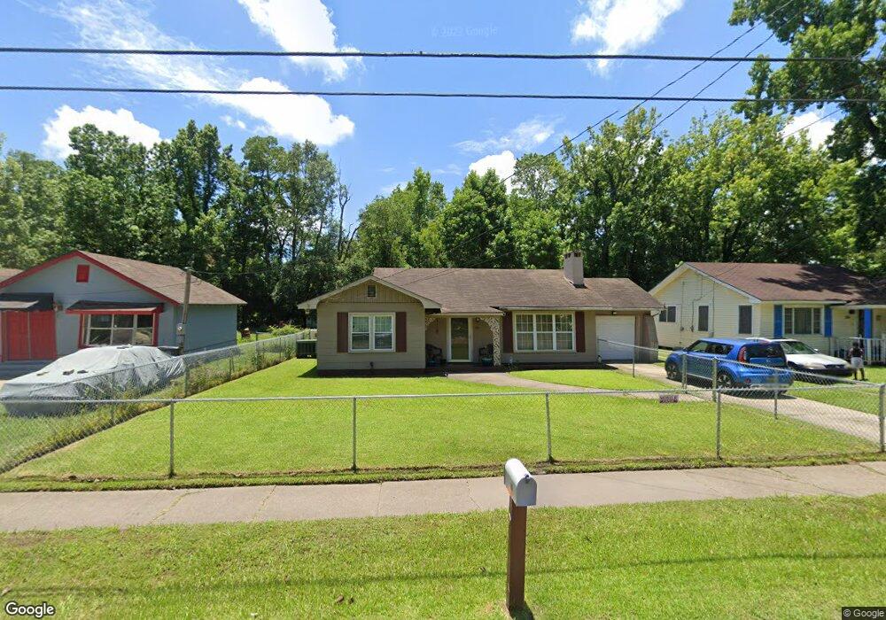
350 E Elm St Mobile, AL 36610
East Prichard NeighborhoodEstimated Value: $36,000 - $53,123
Studio
1
Bath
1,123
Sq Ft
$41/Sq Ft
Est. Value
About This Home
This home is located at 350 E Elm St, Mobile, AL 36610 and is currently estimated at $45,531, approximately $40 per square foot. 350 E Elm St is a home located in Mobile County with nearby schools including Whitley Elementary School, Mobile Co Training Middle School, and Vigor High School.
Ownership History
Date
Name
Owned For
Owner Type
Purchase Details
Closed on
Aug 7, 2002
Sold by
Miller Bruce E and Miller Carolyn Spencer
Bought by
Jones Elisa R
Current Estimated Value
Home Financials for this Owner
Home Financials are based on the most recent Mortgage that was taken out on this home.
Original Mortgage
$37,225
Outstanding Balance
$15,275
Interest Rate
6.53%
Mortgage Type
FHA
Estimated Equity
$30,256
Purchase Details
Closed on
Jun 18, 2002
Sold by
Coleman Lee Darlene
Bought by
Miller Bruce E
Home Financials for this Owner
Home Financials are based on the most recent Mortgage that was taken out on this home.
Original Mortgage
$37,225
Outstanding Balance
$15,275
Interest Rate
6.53%
Mortgage Type
FHA
Estimated Equity
$30,256
Create a Home Valuation Report for This Property
The Home Valuation Report is an in-depth analysis detailing your home's value as well as a comparison with similar homes in the area
Home Values in the Area
Average Home Value in this Area
Purchase History
| Date | Buyer | Sale Price | Title Company |
|---|---|---|---|
| Jones Elisa R | -- | -- | |
| Miller Bruce E | -- | -- |
Source: Public Records
Mortgage History
| Date | Status | Borrower | Loan Amount |
|---|---|---|---|
| Open | Jones Elisa R | $37,225 |
Source: Public Records
Tax History
| Year | Tax Paid | Tax Assessment Tax Assessment Total Assessment is a certain percentage of the fair market value that is determined by local assessors to be the total taxable value of land and additions on the property. | Land | Improvement |
|---|---|---|---|---|
| 2025 | $198 | $4,140 | $400 | $3,740 |
| 2024 | $198 | $4,270 | $300 | $3,970 |
| 2023 | $196 | $5,030 | $750 | $4,280 |
| 2022 | $243 | $5,030 | $750 | $4,280 |
| 2021 | $243 | $5,030 | $750 | $4,280 |
| 2020 | $243 | $5,030 | $750 | $4,280 |
| 2019 | $215 | $4,580 | $0 | $0 |
| 2018 | $215 | $4,580 | $0 | $0 |
| 2017 | $215 | $4,580 | $0 | $0 |
| 2016 | $223 | $4,720 | $0 | $0 |
| 2013 | $253 | $5,060 | $0 | $0 |
Source: Public Records
Map
Nearby Homes
- 510 Iowa Ave
- 419 Telegraph Rd
- 101 Diaz St
- 328 Glendale St
- 0 N Wilson Ave Unit 7685671
- 0 N Wilson Ave Unit 7,
- 135 E Petain St
- 1112 Newman Ln
- 643 Gehrig Ave
- 421 W Foch St Unit 15,16
- 213 Book Ave
- 1106 Jackson Ave
- 1012 Lincoln St
- 421 Foch St
- 963 Semler St
- 869 Edwards St
- 864 Grimes St
- 719 Saxon St
- 865 Edwards St
- 860 Grimes St
- 344 E Elm St
- 356 E Elm St
- 336 E Elm St
- 353 E Allenby St
- 0 Allenby St E Unit 7021226
- 0 Allenby St E Unit 657828
- 351 E Allenby St
- 345 E Elm St
- 347 E Allenby St
- 332 E Elm St
- 406 E Elm St
- 337 E Elm St
- 339 E Elm St
- 351 E Elm St
- 343 E Allenby St
- 333 E Elm St
- 410 E Elm St
- 407 E Elm St
- 333 E Allenby St
- 327 E Elm St
Your Personal Tour Guide
Ask me questions while you tour the home.