350 Fawn Cir Jim Thorpe, PA 18229
Estimated Value: $497,000
3
Beds
3
Baths
2,599
Sq Ft
$191/Sq Ft
Est. Value
About This Home
This home is located at 350 Fawn Cir, Jim Thorpe, PA 18229 and is currently priced at $497,000, approximately $191 per square foot. 350 Fawn Cir is a home located in Carbon County with nearby schools including Jim Thorpe Area High School.
Ownership History
Date
Name
Owned For
Owner Type
Purchase Details
Closed on
Dec 2, 2022
Sold by
Musser James E and Musser Glorimarie A
Bought by
Musser James E and Musser Glorimarie A
Current Estimated Value
Purchase Details
Closed on
Jun 23, 2022
Sold by
Earl Bush Barry
Bought by
Musser James F and Musser Glorimarie A
Purchase Details
Closed on
Apr 27, 2020
Sold by
Platel Brian and Platel Hope
Bought by
Bush Barry Earl and Bush Jane Ellen
Home Financials for this Owner
Home Financials are based on the most recent Mortgage that was taken out on this home.
Original Mortgage
$99,000
Interest Rate
3.5%
Mortgage Type
New Conventional
Purchase Details
Closed on
May 30, 2006
Sold by
Penn Investments Llc
Bought by
Platel Brian and Platel Hope
Create a Home Valuation Report for This Property
The Home Valuation Report is an in-depth analysis detailing your home's value as well as a comparison with similar homes in the area
Home Values in the Area
Average Home Value in this Area
Purchase History
| Date | Buyer | Sale Price | Title Company |
|---|---|---|---|
| Musser James E | -- | -- | |
| Musser James F | $435,000 | Paramount Abstract | |
| Bush Barry Earl | $299,000 | Paramount Abstract Inc | |
| Platel Brian | $22,000 | None Available |
Source: Public Records
Mortgage History
| Date | Status | Borrower | Loan Amount |
|---|---|---|---|
| Previous Owner | Bush Barry Earl | $99,000 |
Source: Public Records
Tax History Compared to Growth
Tax History
| Year | Tax Paid | Tax Assessment Tax Assessment Total Assessment is a certain percentage of the fair market value that is determined by local assessors to be the total taxable value of land and additions on the property. | Land | Improvement |
|---|---|---|---|---|
| 2022 | $8,248 | $109,750 | $9,650 | $100,100 |
| 2021 | $6,884 | $109,750 | $9,650 | $100,100 |
| 2020 | $6,884 | $109,750 | $9,650 | $100,100 |
| 2019 | $7,597 | $109,750 | $9,650 | $100,100 |
| 2018 | $0 | $109,750 | $9,650 | $100,100 |
| 2017 | $7 | $109,750 | $9,650 | $100,100 |
| 2016 | -- | $109,750 | $9,650 | $100,100 |
| 2015 | -- | $109,750 | $9,650 | $100,100 |
| 2014 | -- | $109,750 | $9,650 | $100,100 |
Source: Public Records
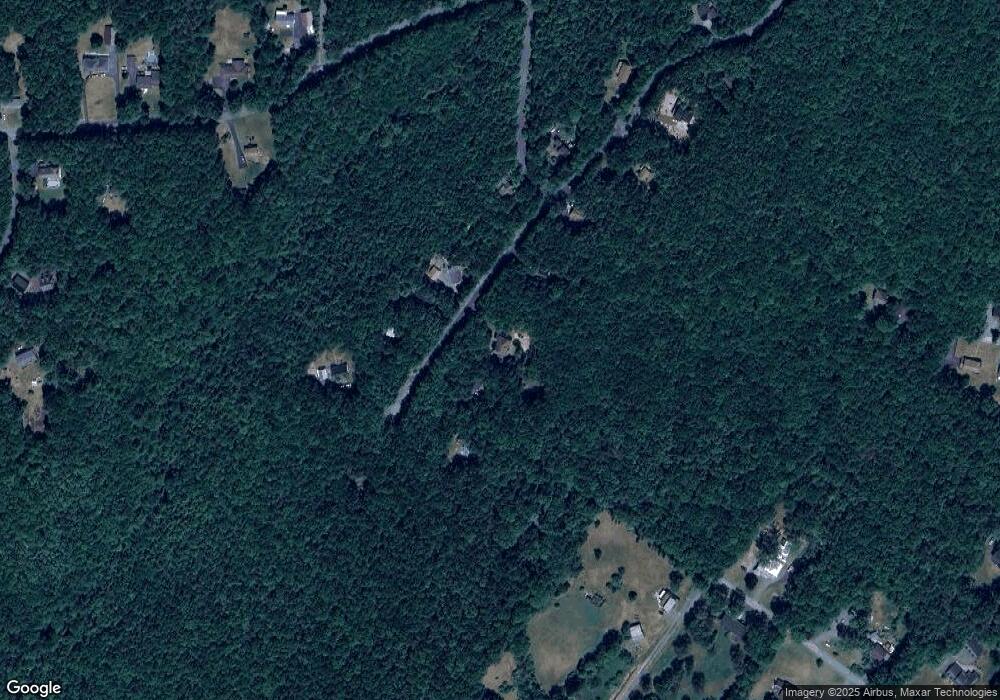
Map
Nearby Homes
- 0 W Thirteenth St Unit PM-121866
- 812 Lehigh St
- 705 Center St
- 515 North St
- 514 North St
- 617 Center St
- 15 W 5th St Unit 17
- 432 Center St
- 25 E 5th St
- 59 W Front St
- 218 Center St
- 226 Fern St
- 115 Center St
- 11 E Front St
- 0 N Dr Unit PM-116531
- 223 North Ave
- A591 Apple Lane & Stony Mountain
- 95 Center Ave
- 118 South Ave
- 622 Center Ave
- 0000 Fawn Cir
- 620 Fawn Cir
- Lot 351 Fawn Cir
- 609 Fawn Cir
- 601 Fawn Cir
- 608 Fawn Cir
- 341 Fawn Cir
- 342 Fawn Cir
- 349 Fawn Cir
- 353 Broadview Dr
- A353 Broadview Dr
- 351 Fawn Cir
- 343 Fawn Cir
- A5 Broadview Dr
- A-5 Broadview Dr
- 23.02 Broadview Dr
- 23.03 Broadview Dr
- A206 Broadview Dr
- Lot A-143 Broadview Dr
- 339 Fawn Cir