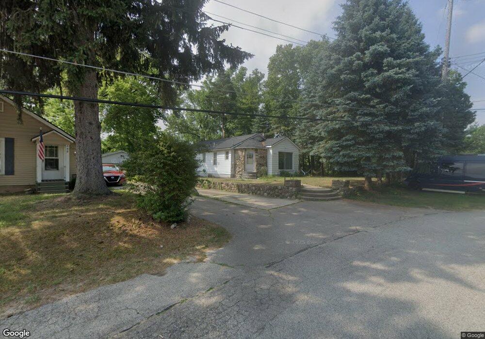
350 Fry St NW Comstock Park, MI 49321
Estimated Value: $230,000 - $315,167
3
Beds
2
Baths
1,078
Sq Ft
$251/Sq Ft
Est. Value
About This Home
This home is located at 350 Fry St NW, Comstock Park, MI 49321 and is currently estimated at $271,042, approximately $251 per square foot. 350 Fry St NW is a home located in Kent County with nearby schools including Stoney Creek Elementary School, Pine Island Elementary School, and Mill Creek Middle School.
Ownership History
Date
Name
Owned For
Owner Type
Purchase Details
Closed on
Jun 30, 2023
Sold by
Urbane Scott E
Bought by
Brown Jack
Current Estimated Value
Purchase Details
Closed on
Mar 16, 2016
Sold by
Carpenter David H and Carpenter Betty L
Bought by
Urbane Scott
Purchase Details
Closed on
Feb 10, 2004
Sold by
Devries Leone C and Carpenter David
Bought by
Urbane Scott
Purchase Details
Closed on
Jan 17, 1994
Sold by
Devries Leone C
Bought by
Devries Leone C and Urbane Scott
Create a Home Valuation Report for This Property
The Home Valuation Report is an in-depth analysis detailing your home's value as well as a comparison with similar homes in the area
Home Values in the Area
Average Home Value in this Area
Purchase History
| Date | Buyer | Sale Price | Title Company |
|---|---|---|---|
| Brown Jack | $195,000 | None Listed On Document | |
| Urbane Scott | -- | Attorney | |
| Urbane Scott | -- | None Available | |
| Devries Leone C | -- | -- |
Source: Public Records
Tax History Compared to Growth
Tax History
| Year | Tax Paid | Tax Assessment Tax Assessment Total Assessment is a certain percentage of the fair market value that is determined by local assessors to be the total taxable value of land and additions on the property. | Land | Improvement |
|---|---|---|---|---|
| 2025 | $5,476 | $163,200 | $0 | $0 |
| 2024 | $5,476 | $118,200 | $0 | $0 |
| 2023 | $2,975 | $119,900 | $0 | $0 |
| 2022 | $3,386 | $100,600 | $0 | $0 |
| 2021 | $3,295 | $88,700 | $0 | $0 |
| 2020 | $2,722 | $82,800 | $0 | $0 |
| 2019 | $3,032 | $61,800 | $0 | $0 |
| 2018 | $2,970 | $61,800 | $0 | $0 |
| 2017 | $2,894 | $58,300 | $0 | $0 |
| 2016 | $2,827 | $56,100 | $0 | $0 |
| 2015 | -- | $56,100 | $0 | $0 |
| 2013 | -- | $52,300 | $0 | $0 |
Source: Public Records
Map
Nearby Homes
- 134 Mabel St NW
- 236 4 Mile Rd NW
- 211 York View Place NW
- Wilshire Plan at The Range
- Remington Plan at The Range
- Linden Plan at The Range
- Enclave Plan at The Range
- Croswell Plan at The Range
- Cascade Plan at The Range
- Carson Plan at The Range
- Avery Plan at The Range
- Ashton Plan at The Range
- Andover Plan at The Range
- 981 Ellerston St NW
- 264 Mabel St NW Unit 55
- 276 Mabel St NW Unit 54
- 510 Clark St NW
- 4010 Woodrush Ln NW Unit 40
- 4154 Woodrush Ln NW Unit 65
- 319 Greenridge Dr NW
- 342 Fry St NW
- 338 Fry St NW
- 330 Fry St NW
- 61 4 Mile Rd NW
- 4003 Childs Ave NW
- 3961 Leland Ave NE
- 4000 Childs Ave NW
- 55 4 Mile Rd NW
- 41 4 Mile Rd NW
- 3963 Leland Ave NW
- 85 4 Mile Rd NW
- 4005 Childs Ave NW
- 4001 Leland Ave NW
- 4010 Childs Ave NW
- 4007 Childs Ave NW
- 4005 Leland Ave NW
- 4009 Childs Ave NW
- 4011 Leland Ave NW
- 56 4 Mile Rd NW
- 76 4 Mile Rd NW