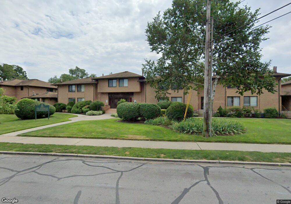
350 Grovers Ave Unit 8A Bridgeport, CT 06605
Black Rock NeighborhoodEstimated Value: $312,000 - $421,000
2
Beds
4
Baths
1,011
Sq Ft
$370/Sq Ft
Est. Value
About This Home
This home is located at 350 Grovers Ave Unit 8A, Bridgeport, CT 06605 and is currently estimated at $374,123, approximately $370 per square foot. 350 Grovers Ave Unit 8A is a home located in Fairfield County with nearby schools including Black Rock School, Bassick High School, and Great Oaks Charter School Bridgeport.
Ownership History
Date
Name
Owned For
Owner Type
Purchase Details
Closed on
May 29, 1992
Sold by
Cuseo George
Bought by
Dudla Lois
Current Estimated Value
Home Financials for this Owner
Home Financials are based on the most recent Mortgage that was taken out on this home.
Original Mortgage
$30,000
Interest Rate
8.7%
Mortgage Type
Unknown
Create a Home Valuation Report for This Property
The Home Valuation Report is an in-depth analysis detailing your home's value as well as a comparison with similar homes in the area
Home Values in the Area
Average Home Value in this Area
Purchase History
| Date | Buyer | Sale Price | Title Company |
|---|---|---|---|
| Dudla Lois | $82,000 | -- | |
| Dudla Lois | $82,000 | -- |
Source: Public Records
Mortgage History
| Date | Status | Borrower | Loan Amount |
|---|---|---|---|
| Closed | Dudla Lois | $30,000 |
Source: Public Records
Tax History
| Year | Tax Paid | Tax Assessment Tax Assessment Total Assessment is a certain percentage of the fair market value that is determined by local assessors to be the total taxable value of land and additions on the property. | Land | Improvement |
|---|---|---|---|---|
| 2025 | $6,002 | $138,140 | $0 | $138,140 |
| 2024 | $6,002 | $138,140 | $0 | $138,140 |
| 2023 | $6,002 | $138,140 | $0 | $138,140 |
| 2022 | $6,002 | $138,140 | $0 | $138,140 |
| 2021 | $6,002 | $138,140 | $0 | $138,140 |
| 2020 | $6,350 | $117,610 | $0 | $117,610 |
| 2019 | $6,350 | $117,610 | $0 | $117,610 |
| 2018 | $6,394 | $117,610 | $0 | $117,610 |
| 2017 | $6,394 | $117,610 | $0 | $117,610 |
| 2016 | $6,394 | $117,610 | $0 | $117,610 |
| 2015 | $7,249 | $171,780 | $0 | $171,780 |
| 2014 | $7,249 | $171,780 | $0 | $171,780 |
Source: Public Records
Map
Nearby Homes
- 97 Fayerweather Terrace
- 318 Grovers Ave
- 377 Midland St
- 8-10 Jetland Place
- 315 Seaside Ave
- 90 Clarkson St
- 554 Brewster St Unit 4
- 27 Nash Ln Unit 5
- 78 Rowsley St Unit 4
- 78 Haddon St Unit 1
- 132 Bennett St Unit 302
- 165 Bennett St
- 22 Monroe St Unit 24
- 3250 Fairfield Ave Unit 302
- 855 Brewster St Unit 857
- 115 King St Unit 117
- 188 Monroe St Unit 190
- 287 Hansen Ave
- 75 Hemlock St
- 25 Whittier St
- 350 Grovers Ave Unit 1U
- 350 Grovers Ave Unit 1P
- 350 Grovers Ave Unit 8G
- 350 Grovers Ave Unit 4B
- 350 Grovers Ave Unit 2A
- 350 Grovers Ave Unit 1O
- 350 Grovers Ave Unit 12D
- 350 Grovers Ave Unit 12C
- 350 Grovers Ave Unit 12B
- 350 Grovers Ave Unit 12A
- 350 Grovers Ave Unit 11F
- 350 Grovers Ave Unit 11E
- 350 Grovers Ave Unit 11D
- 350 Grovers Ave Unit 11C
- 350 Grovers Ave Unit 11B
- 350 Grovers Ave Unit 10B
- 350 Grovers Ave Unit 10A
- 350 Grovers Ave Unit 9C
- 350 Grovers Ave Unit 9B
Your Personal Tour Guide
Ask me questions while you tour the home.