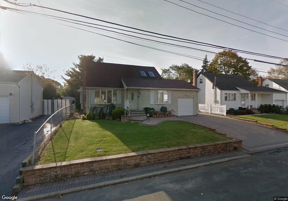
350 Heathcote Rd Lindenhurst, NY 11757
Estimated Value: $528,680 - $679,000
Studio
--
Bath
1,249
Sq Ft
$510/Sq Ft
Est. Value
About This Home
This home is located at 350 Heathcote Rd, Lindenhurst, NY 11757 and is currently estimated at $636,920, approximately $509 per square foot. 350 Heathcote Rd is a home located in Suffolk County with nearby schools including William Rall School, Lindenhurst Middle School, and Lindenhurst Senior High School.
Ownership History
Date
Name
Owned For
Owner Type
Purchase Details
Closed on
Dec 29, 1997
Sold by
Donhowe John and Donhowe Hannelore
Bought by
Kazimierczyk Andrzej and Kazimierczyk Zopia
Current Estimated Value
Home Financials for this Owner
Home Financials are based on the most recent Mortgage that was taken out on this home.
Original Mortgage
$137,750
Outstanding Balance
$23,780
Interest Rate
7.08%
Estimated Equity
$613,140
Create a Home Valuation Report for This Property
The Home Valuation Report is an in-depth analysis detailing your home's value as well as a comparison with similar homes in the area
Home Values in the Area
Average Home Value in this Area
Purchase History
| Date | Buyer | Sale Price | Title Company |
|---|---|---|---|
| Kazimierczyk Andrzej | $145,000 | Chicago Title Insurance Co |
Source: Public Records
Mortgage History
| Date | Status | Borrower | Loan Amount |
|---|---|---|---|
| Open | Kazimierczyk Andrzej | $137,750 |
Source: Public Records
Tax History
| Year | Tax Paid | Tax Assessment Tax Assessment Total Assessment is a certain percentage of the fair market value that is determined by local assessors to be the total taxable value of land and additions on the property. | Land | Improvement |
|---|---|---|---|---|
| 2024 | $8,819 | $2,990 | $240 | $2,750 |
| 2023 | $8,819 | $2,990 | $240 | $2,750 |
| 2022 | $8,876 | $2,990 | $240 | $2,750 |
| 2021 | $8,876 | $2,990 | $240 | $2,750 |
| 2020 | $9,354 | $2,990 | $240 | $2,750 |
| 2019 | $9,354 | $0 | $0 | $0 |
| 2018 | $8,808 | $2,990 | $240 | $2,750 |
| 2017 | $8,808 | $2,990 | $240 | $2,750 |
| 2016 | $8,825 | $2,990 | $240 | $2,750 |
| 2015 | -- | $2,990 | $240 | $2,750 |
| 2014 | -- | $2,990 | $240 | $2,750 |
Source: Public Records
Map
Nearby Homes
- 90 Winchester Dr
- 0 Tenety Ave Unit 3461459
- 48 Farmers Ave
- 231 3rd St
- 334 Robbins St
- 1012 N Ontario Ave
- 916 N Clinton Ave
- 847 N Clinton Ave
- 350 52nd St
- 87 Kellum St
- 336 51st St
- 830 N Broome Ave
- 690 N Hamilton Ave
- 696 N Delaware Ave
- 690 N Delaware Ave
- 64 Heathcote Rd
- 633 7th St
- 47 Sherbrooke Rd
- 702 6th St
- 436 Herzel Blvd
- 348 Heathcote Rd
- 356 Heathcote Rd
- 336 Heathcote Rd
- 139 Farmers Ave
- 349 Heathcote Rd
- 355 Heathcote Rd
- 366 Heathcote Rd
- 145 Farmers Ave
- 133 Farmers Ave
- 343 Heathcote Rd
- 365 Heathcote Rd
- 332 Heathcote Rd
- 372 Heathcote Rd
- 151 Farmers Ave
- 119 Farmers Ave
- 369 Heathcote Rd
- 140 Tremont Rd
- 333 Heathcote Rd
- 166 Tremont Rd
- 378 Heathcote Rd
Your Personal Tour Guide
Ask me questions while you tour the home.