350 Homestead Rd Divide, CO 80814
Estimated Value: $983,156 - $1,206,000
3
Beds
3
Baths
4,050
Sq Ft
$281/Sq Ft
Est. Value
About This Home
This home is located at 350 Homestead Rd, Divide, CO 80814 and is currently estimated at $1,138,289, approximately $281 per square foot. 350 Homestead Rd is a home located in Teller County with nearby schools including Woodland Park Junior/Senior High School and Merit Academy.
Ownership History
Date
Name
Owned For
Owner Type
Purchase Details
Closed on
Oct 1, 2021
Sold by
Callaway Robert T and Callaway Mary A
Bought by
Callaway Family Trust
Current Estimated Value
Purchase Details
Closed on
Jul 17, 2015
Sold by
Fortin James E and Fortin Cynthia M
Bought by
Callaway Robert T and Callaway Mary A
Home Financials for this Owner
Home Financials are based on the most recent Mortgage that was taken out on this home.
Original Mortgage
$385,000
Outstanding Balance
$300,619
Interest Rate
3.9%
Mortgage Type
New Conventional
Estimated Equity
$837,670
Purchase Details
Closed on
Jun 1, 2007
Sold by
Landwermeyer James W
Bought by
Fortin James E and Fortin Cynthia M
Purchase Details
Closed on
Sep 25, 1997
Bought by
Callaway Robert T and Callaway Mary A
Create a Home Valuation Report for This Property
The Home Valuation Report is an in-depth analysis detailing your home's value as well as a comparison with similar homes in the area
Home Values in the Area
Average Home Value in this Area
Purchase History
| Date | Buyer | Sale Price | Title Company |
|---|---|---|---|
| Callaway Family Trust | -- | None Available | |
| Callaway Robert T | $535,000 | Fidelity National Title Insu | |
| Fortin James E | -- | None Available | |
| Callaway Robert T | $30,000 | -- |
Source: Public Records
Mortgage History
| Date | Status | Borrower | Loan Amount |
|---|---|---|---|
| Open | Callaway Robert T | $385,000 |
Source: Public Records
Tax History Compared to Growth
Tax History
| Year | Tax Paid | Tax Assessment Tax Assessment Total Assessment is a certain percentage of the fair market value that is determined by local assessors to be the total taxable value of land and additions on the property. | Land | Improvement |
|---|---|---|---|---|
| 2024 | $3,495 | $56,540 | $4,823 | $51,717 |
| 2023 | $3,495 | $56,540 | $4,820 | $51,720 |
| 2022 | $2,733 | $49,120 | $2,890 | $46,230 |
| 2021 | $2,818 | $50,540 | $2,980 | $47,560 |
| 2020 | $2,603 | $47,700 | $3,750 | $43,950 |
| 2019 | $2,571 | $47,700 | $0 | $0 |
| 2018 | $1,810 | $32,540 | $0 | $0 |
| 2017 | $1,813 | $32,540 | $0 | $0 |
| 2016 | $2,283 | $40,830 | $0 | $0 |
| 2015 | $2,567 | $40,830 | $0 | $0 |
| 2014 | -- | $24,300 | $0 | $0 |
Source: Public Records
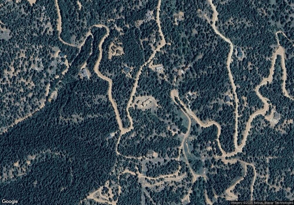
Map
Nearby Homes
- 744 Woodrock Way
- 280 Homestead Rd
- 521 Homestead Rd
- 761 Woodrock Way
- 821 Woodrock Way
- 490 Homestead Rd
- 420 Homestead Rd
- 265 Homestead Rd
- 722 Woodrock Way
- 630 Homestead Rd
- 661 Homestead Rd
- 37 Homestead Rd
- 121 Homestead Rd
- 140 Homestead Rd
- 741 Homestead Rd
- 128 Homestead Rd
- 704 Woodrock Way
- 54 Eagle Dr
- 70 Homestead Rd
- 367 Homestead Rd