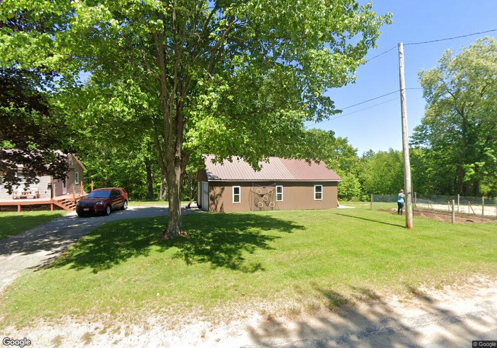
350 Maple Ln Livermore, ME 04253
Estimated Value: $220,000 - $341,000
3
Beds
1
Bath
1,000
Sq Ft
$266/Sq Ft
Est. Value
About This Home
This home is located at 350 Maple Ln, Livermore, ME 04253 and is currently estimated at $266,042, approximately $266 per square foot. 350 Maple Ln is a home located in Androscoggin County with nearby schools including Spruce Mountain Primary School, Spruce Mountain Elementary School, and Spruce Mountain Middle School.
Ownership History
Date
Name
Owned For
Owner Type
Purchase Details
Closed on
Dec 1, 2008
Sold by
Leonard Lyndon A
Bought by
Gordon Bradley S
Current Estimated Value
Home Financials for this Owner
Home Financials are based on the most recent Mortgage that was taken out on this home.
Original Mortgage
$135,500
Interest Rate
6.47%
Mortgage Type
Unknown
Create a Home Valuation Report for This Property
The Home Valuation Report is an in-depth analysis detailing your home's value as well as a comparison with similar homes in the area
Home Values in the Area
Average Home Value in this Area
Purchase History
| Date | Buyer | Sale Price | Title Company |
|---|---|---|---|
| Gordon Bradley S | -- | -- |
Source: Public Records
Mortgage History
| Date | Status | Borrower | Loan Amount |
|---|---|---|---|
| Open | Gordon Bradley S | $142,900 | |
| Closed | Gordon Bradley S | $135,500 |
Source: Public Records
Tax History Compared to Growth
Tax History
| Year | Tax Paid | Tax Assessment Tax Assessment Total Assessment is a certain percentage of the fair market value that is determined by local assessors to be the total taxable value of land and additions on the property. | Land | Improvement |
|---|---|---|---|---|
| 2025 | $2,475 | $130,928 | $32,150 | $98,778 |
| 2024 | $2,239 | $130,928 | $32,150 | $98,778 |
| 2023 | $2,128 | $130,928 | $32,150 | $98,778 |
| 2022 | $2,095 | $130,928 | $32,150 | $98,778 |
| 2021 | $2,095 | $130,928 | $32,150 | $98,778 |
| 2020 | $1,997 | $130,928 | $32,150 | $98,778 |
| 2019 | $1,620 | $99,707 | $28,150 | $71,557 |
| 2018 | $1,595 | $99,707 | $28,150 | $71,557 |
| 2017 | $1,635 | $99,707 | $28,150 | $71,557 |
| 2016 | $1,595 | $99,707 | $28,150 | $71,557 |
| 2015 | $1,595 | $99,707 | $28,150 | $71,557 |
| 2014 | $1,416 | $99,707 | $28,150 | $71,557 |
Source: Public Records
Map
Nearby Homes
- 1076 Park St
- 881 River Rd
- 309 Strickland Ferry Rd
- 232 Campground Rd
- Lot 9B Pulsifer Rd
- 9 Pulsifer Rd
- 21 Stonewall Dr
- 1081 Federal Rd
- 62 Norton Rd
- 0 Gibbs Mill Rd
- 146 Karn Rd
- 642 Federal Rd
- 614 Federal Rd
- 21 Hathaway Hill Rd
- 171 Park St
- Lot 13 Tbd Foundry Rd
- 11 Oak St
- 172 Baldwin Hill Rd
- 36 Sewall St
- 64 Paddleford Rd
- 364 Maple Ln
- 336 Maple Ln
- 374 Maple Ln
- 28 Duffers Way
- 28 Duffers Way
- 24 Duffers Way
- 0 Duffers Way Unit 567787
- 0 Duffers Way Unit 567771
- 0 Duffers Way Unit 435721
- 0 Duffers Way Unit 1481107
- 0 Duffers Way Lot 10
- 383 Maple Ln
- TBD Duffer's Way
- 295 Maple Ln
- 392 Maple Ln
- 414 Maple Ln
- 265 Maple Ln
- LOT B River Rd
- LOT A River Rd
- LOT C River Rd