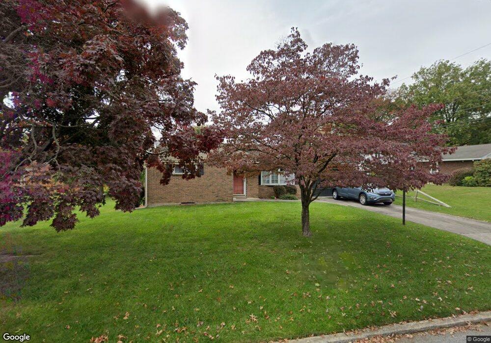
350 N 32nd St Camp Hill, PA 17011
East Pennsboro NeighborhoodEstimated Value: $290,000 - $322,000
3
Beds
2
Baths
1,428
Sq Ft
$217/Sq Ft
Est. Value
About This Home
This home is located at 350 N 32nd St, Camp Hill, PA 17011 and is currently estimated at $309,426, approximately $216 per square foot. 350 N 32nd St is a home located in Cumberland County with nearby schools including East Pennsboro Area Middle School, East Pennsboro Area Senior High School, and Good Shepherd Elementary School.
Ownership History
Date
Name
Owned For
Owner Type
Purchase Details
Closed on
Sep 1, 2001
Sold by
Zerby J Gardner
Bought by
Guild Deborah A
Current Estimated Value
Home Financials for this Owner
Home Financials are based on the most recent Mortgage that was taken out on this home.
Original Mortgage
$107,920
Outstanding Balance
$41,776
Interest Rate
6.89%
Estimated Equity
$267,650
Create a Home Valuation Report for This Property
The Home Valuation Report is an in-depth analysis detailing your home's value as well as a comparison with similar homes in the area
Home Values in the Area
Average Home Value in this Area
Purchase History
| Date | Buyer | Sale Price | Title Company |
|---|---|---|---|
| Guild Deborah A | $134,900 | -- |
Source: Public Records
Mortgage History
| Date | Status | Borrower | Loan Amount |
|---|---|---|---|
| Open | Guild Deborah A | $107,920 |
Source: Public Records
Tax History Compared to Growth
Tax History
| Year | Tax Paid | Tax Assessment Tax Assessment Total Assessment is a certain percentage of the fair market value that is determined by local assessors to be the total taxable value of land and additions on the property. | Land | Improvement |
|---|---|---|---|---|
| 2025 | $3,610 | $174,900 | $45,000 | $129,900 |
| 2024 | $3,406 | $174,900 | $45,000 | $129,900 |
| 2023 | $3,213 | $174,900 | $45,000 | $129,900 |
| 2022 | $3,021 | $174,900 | $45,000 | $129,900 |
| 2021 | $2,969 | $174,900 | $45,000 | $129,900 |
| 2020 | $2,900 | $174,900 | $45,000 | $129,900 |
| 2019 | $2,865 | $174,900 | $45,000 | $129,900 |
| 2018 | $2,833 | $174,900 | $45,000 | $129,900 |
| 2017 | $2,711 | $174,900 | $45,000 | $129,900 |
| 2016 | -- | $174,900 | $45,000 | $129,900 |
| 2015 | -- | $174,900 | $45,000 | $129,900 |
| 2014 | -- | $174,900 | $45,000 | $129,900 |
Source: Public Records
Map
Nearby Homes
- 451 Country Club Rd
- 3450 Walnut St
- 3309 Market St
- 2702 Logan St
- 3311 Chestnut St
- 116 N 36th St
- 3437 Market St
- 527 Devon Rd
- 441 N 25th St
- 27 S 34th St
- 103 N 26th St
- 110 N 25th St
- 2424 Lincoln St
- 52 Fairway Dr
- 209 Willow Ave
- 3797 Chestnut St
- 3802 Copper Kettle Rd
- 95 Foxcroft Dr
- 3720 Trindle Rd
- 3517 Foxcroft Dr
- 1 Fargreen Rd
- 2 Country Club Place W
- 4 Country Club Place W
- 3 Fargreen Rd
- 6 Country Club Place W
- 6 Country Club Place E
- 7 Fargreen Rd
- 7 Fargreen Rd Unit 2nd Floor
- 8 Country Club Place W
- 8 Country Club Place E
- 10 Country Club Place W
- 3 Country Club Place W
- 9 Fargreen Rd
- 1 Country Club Place W
- 5 Country Club Place W
- 10 Country Club Place E
- 12 Country Club Place W
- 3 Country Club Place E
- 5 Country Club Place E
- 11 Fargreen Rd