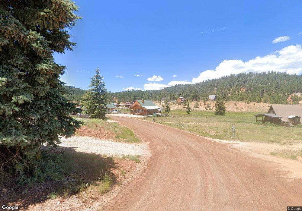
350 N Apache Trail Kanab, UT 84741
Duck Creek Village NeighborhoodEstimated Value: $323,000 - $1,176,000
--
Bed
--
Bath
832
Sq Ft
$743/Sq Ft
Est. Value
About This Home
This home is located at 350 N Apache Trail, Kanab, UT 84741 and is currently estimated at $618,468, approximately $743 per square foot. 350 N Apache Trail is a home with nearby schools including Valley Elementary School and Valley High School.
Ownership History
Date
Name
Owned For
Owner Type
Purchase Details
Closed on
Sep 11, 2019
Bought by
Champion Anthony C and Champion Barbara A
Current Estimated Value
Purchase Details
Closed on
Jan 30, 2008
Sold by
Brooke Gordon D and Brooke Alice P
Bought by
Sutliffe Jeffry and Sutliffe Sandra
Home Financials for this Owner
Home Financials are based on the most recent Mortgage that was taken out on this home.
Original Mortgage
$130,000
Interest Rate
6.09%
Mortgage Type
Purchase Money Mortgage
Create a Home Valuation Report for This Property
The Home Valuation Report is an in-depth analysis detailing your home's value as well as a comparison with similar homes in the area
Home Values in the Area
Average Home Value in this Area
Purchase History
| Date | Buyer | Sale Price | Title Company |
|---|---|---|---|
| Champion Anthony C | -- | -- | |
| Sutliffe Jeffry | -- | -- |
Source: Public Records
Mortgage History
| Date | Status | Borrower | Loan Amount |
|---|---|---|---|
| Previous Owner | Sutliffe Jeffry | $130,000 |
Source: Public Records
Tax History Compared to Growth
Tax History
| Year | Tax Paid | Tax Assessment Tax Assessment Total Assessment is a certain percentage of the fair market value that is determined by local assessors to be the total taxable value of land and additions on the property. | Land | Improvement |
|---|---|---|---|---|
| 2025 | $1,767 | $267,284 | $120,717 | $146,567 |
| 2024 | $1,767 | $139,997 | $57,735 | $82,262 |
| 2023 | $1,574 | $132,466 | $50,204 | $82,262 |
| 2022 | $1,522 | $113,402 | $38,618 | $74,784 |
| 2021 | $1,305 | $146,019 | $45,300 | $100,719 |
| 2020 | $1,350 | $145,795 | $44,712 | $101,083 |
| 2019 | $1,300 | $136,499 | $44,712 | $91,787 |
| 2018 | $1,234 | $128,445 | $49,680 | $78,765 |
| 2017 | $1,289 | $128,445 | $49,680 | $78,765 |
| 2016 | $1,152 | $111,652 | $43,200 | $68,452 |
| 2015 | $1,061 | $107,251 | $36,017 | $71,234 |
| 2014 | $1,061 | $102,553 | $31,319 | $71,234 |
| 2013 | -- | $96,554 | $0 | $0 |
Source: Public Records
Map
Nearby Homes
- 465 Grassy Cir
- 20 Pinetree Trail
- 140 Apache Trail
- 160 Apollo Trail
- 520 & 530 N Grassy Trail
- 580 Grassy Trail
- 2375 Douglas Trail
- 220 N Grassy Trail
- 220 Grassy Trail
- 155 N Marjay Trail
- 2565 N Swains View Trail
- 770 Skyline View Dr
- 535 Arrowhead Trail
- 695 N Debonair Dr
- 695 Debonair Dr
- 3215 Debonair Dr
- 890 Primrose Path
- 710 N Bonanza Hill
- 3180 Spruce Dr
- 3280 Spruce Dr
- 230 N Apache Trail
- 310 N Apache Trail
- 380 N Apache Trail
- 335 N Apache Trail
- 390 N Pinetree Trail
- 210 N Apache Trail
- 185 N Apache Trail
- 350 N Apache Trail Unit SCP 1-A-179
- 210 N Apache Trail
- 400 N Apache Trail
- 365 N Apache Trail Unit lots 152, 154 Swains
- 145 N Apache Trail
- 145 N Apache Trail Unit 1 Amended
- 365 N Apache Trail
- 140 N Apache Trail Unit 1
- 310 N Apache Trail
- 345 Apache Trail
- 255 N Apache Trail
- 395 Pinetree Trail
- 365 N Pinetree Tr Scp 1a-65