350 N Main St Onsted, MI 49265
Estimated Value: $1,252,089
1
Bed
1
Bath
583
Sq Ft
$2,148/Sq Ft
Est. Value
About This Home
This home is located at 350 N Main St, Onsted, MI 49265 and is currently estimated at $1,252,089, approximately $2,147 per square foot. 350 N Main St is a home located in Lenawee County with nearby schools including Onsted Elementary School, Onsted Middle School, and Onsted Community High School.
Ownership History
Date
Name
Owned For
Owner Type
Purchase Details
Closed on
Dec 7, 2017
Sold by
Wexford Manor Limited Dividend Housing A
Bought by
T J Wexford Limited Dividend Housing Ass
Current Estimated Value
Home Financials for this Owner
Home Financials are based on the most recent Mortgage that was taken out on this home.
Original Mortgage
$1,000,000
Outstanding Balance
$260,080
Interest Rate
3.9%
Mortgage Type
Future Advance Clause Open End Mortgage
Estimated Equity
$992,009
Purchase Details
Closed on
Aug 28, 1989
Bought by
Wexford Manor Limited Div
Create a Home Valuation Report for This Property
The Home Valuation Report is an in-depth analysis detailing your home's value as well as a comparison with similar homes in the area
Home Values in the Area
Average Home Value in this Area
Purchase History
| Date | Buyer | Sale Price | Title Company |
|---|---|---|---|
| T J Wexford Limited Dividend Housing Ass | $730,973 | None Available | |
| Wexford Manor Limited Div | -- | -- |
Source: Public Records
Mortgage History
| Date | Status | Borrower | Loan Amount |
|---|---|---|---|
| Open | T J Wexford Limited Dividend Housing Ass | $1,000,000 |
Source: Public Records
Tax History Compared to Growth
Tax History
| Year | Tax Paid | Tax Assessment Tax Assessment Total Assessment is a certain percentage of the fair market value that is determined by local assessors to be the total taxable value of land and additions on the property. | Land | Improvement |
|---|---|---|---|---|
| 2025 | -- | $0 | $0 | $0 |
| 2024 | $0 | $0 | $0 | $0 |
| 2022 | -- | $0 | $0 | $0 |
| 2021 | $0 | $0 | $0 | $0 |
| 2020 | $0 | $0 | $0 | $0 |
| 2019 | $0 | $0 | $0 | $0 |
| 2018 | $0 | $456,179 | $0 | $0 |
| 2017 | $0 | $434,938 | $0 | $0 |
| 2016 | $0 | $436,710 | $0 | $0 |
| 2014 | -- | $435,283 | $0 | $0 |
Source: Public Records
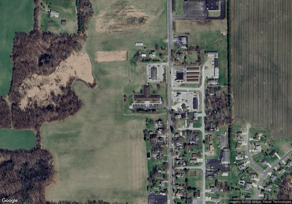
Map
Nearby Homes
- 409 Connor St
- 111 Greenleaf
- 192 Trevor Trail
- 212 S Maple St
- Lot 8 Walsh Ct
- Lot 2 Walsh Ct
- 8810 W Stephenson Hwy
- 8812 Walsh Ct
- 8395 Dalton Rd
- 8315 Irish Mist
- 8300 Blk Irish Mist
- 8000 Slee Rd
- 8443 Stephenson Rd
- 8085 Wadding Dr
- 7697 Dalton Rd
- 7905 Wadding Dr
- 7831 Barron Ct
- 7966 Kingsley Dr
- 7604 Sherlock Dr
- 7574 Sherlock Dr
- 342 N Main St
- 351 N Main St
- 345 N Main St
- 343 N Main St
- 338 N Main St
- 337 N Main St
- 334 N Main St
- 333 N Main St
- 330 N Main St
- 331 N Main St
- 326 N Main St
- 0 Onsted Hwy Unit Parcel B Onsted Hwy
- 0 Onsted Hwy Unit Parcel A Onsted Hwy
- 0 Onsted Hwy Unit 4692658
- 341 Connor St
- 0 Connor St Unit 5627308
- 0 Connor St Unit G31326254
- 343 Connor St
- 342 Connor St
- 342 Connor St Unit CONNOR