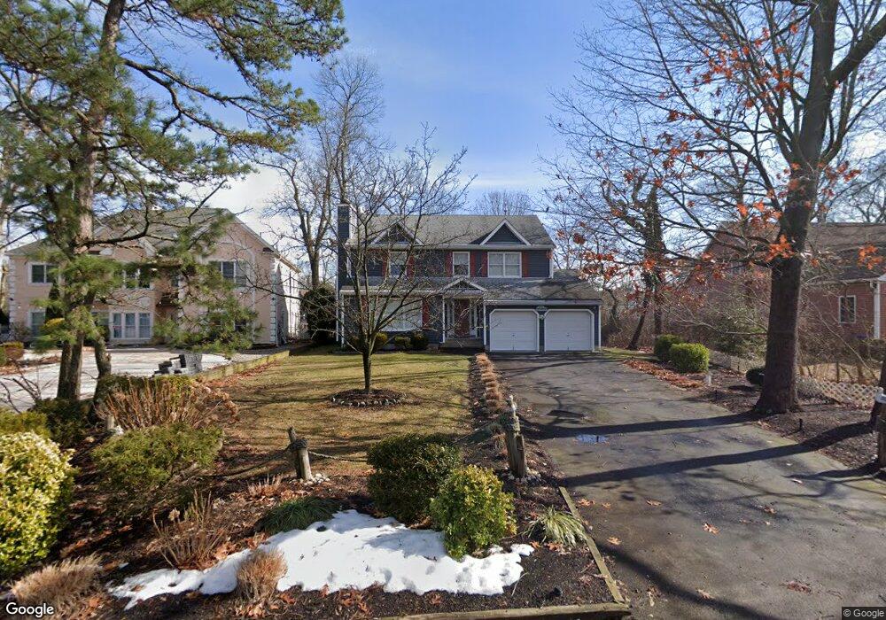
350 Parker Rd Point Pleasant Boro, NJ 08742
Estimated Value: $943,260 - $1,436,000
4
Beds
3
Baths
2,687
Sq Ft
$413/Sq Ft
Est. Value
About This Home
This home is located at 350 Parker Rd, Point Pleasant Boro, NJ 08742 and is currently estimated at $1,109,565, approximately $412 per square foot. 350 Parker Rd is a home located in Ocean County with nearby schools including Point Pleasant High School and St. Peter School.
Ownership History
Date
Name
Owned For
Owner Type
Purchase Details
Closed on
Dec 6, 2013
Sold by
Nelson Aida and Nelson Kenneth J
Bought by
Nelson Family Premises Trust Irrevocable and Nelson Kenneth Patrick
Current Estimated Value
Purchase Details
Closed on
Jan 23, 2008
Sold by
Nelson Aida
Bought by
Nelson Aida and Nelson Kenneth J
Purchase Details
Closed on
Aug 10, 2007
Sold by
Nelson Aida
Bought by
Nelson Aida
Purchase Details
Closed on
Aug 7, 2006
Sold by
Catania Mary
Bought by
Catania Mary and Nelson Aida
Create a Home Valuation Report for This Property
The Home Valuation Report is an in-depth analysis detailing your home's value as well as a comparison with similar homes in the area
Home Values in the Area
Average Home Value in this Area
Purchase History
| Date | Buyer | Sale Price | Title Company |
|---|---|---|---|
| Nelson Family Premises Trust Irrevocable | -- | None Available | |
| Nelson Aida | -- | Old Republic Title | |
| Nelson Aida | -- | Old Republic Title | |
| Catania Mary | -- | Old Republic Title |
Source: Public Records
Tax History Compared to Growth
Tax History
| Year | Tax Paid | Tax Assessment Tax Assessment Total Assessment is a certain percentage of the fair market value that is determined by local assessors to be the total taxable value of land and additions on the property. | Land | Improvement |
|---|---|---|---|---|
| 2025 | $12,416 | $542,900 | $313,700 | $229,200 |
| 2024 | $11,868 | $542,900 | $313,700 | $229,200 |
| 2023 | $11,623 | $542,900 | $313,700 | $229,200 |
| 2022 | $11,623 | $542,900 | $313,700 | $229,200 |
| 2021 | $11,444 | $542,900 | $313,700 | $229,200 |
| 2020 | $11,325 | $542,900 | $313,700 | $229,200 |
| 2019 | $11,173 | $542,900 | $313,700 | $229,200 |
| 2018 | $10,842 | $542,900 | $313,700 | $229,200 |
| 2017 | $10,603 | $542,900 | $313,700 | $229,200 |
| 2016 | $10,521 | $542,900 | $313,700 | $229,200 |
| 2015 | $10,397 | $542,900 | $313,700 | $229,200 |
| 2014 | $10,158 | $542,900 | $313,700 | $229,200 |
Source: Public Records
Map
Nearby Homes
- 1100 Bradford Dr
- 2201 River Rd Unit 4401
- 2001 Veterans Memorial Dr
- 713 Beaver Dam Rd
- 1215 Johnson Ave
- 1027 Ocean Rd
- 709 Albert E Clifton Ave
- 103 River Ave
- 803 Beaver Dam Rd
- 818 Sinclair Rd
- 305 Barbara Dr
- 2409 Cedar St
- 505 Curtis Ave
- 837 Beaver Dam Rd
- 921 Arnold Ave
- 519 Curtis Ave
- 3000 River Rd Unit 3000 & 3000A
- 602 Boulton Ave
- 1122 Borden Ave
- 1413 George St