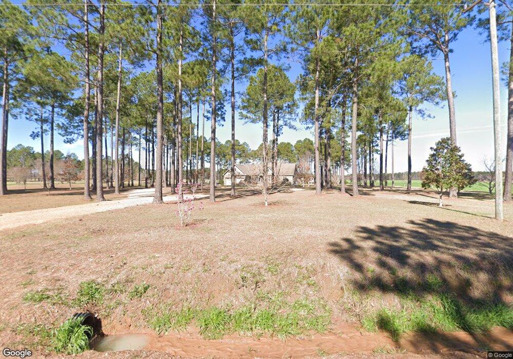
350 Pearson Rd Sylvester, GA 31791
Estimated Value: $277,565 - $348,000
3
Beds
1
Bath
2,352
Sq Ft
$129/Sq Ft
Est. Value
About This Home
This home is located at 350 Pearson Rd, Sylvester, GA 31791 and is currently estimated at $303,855, approximately $129 per square foot. 350 Pearson Rd is a home with nearby schools including Worth County Primary School, Worth County Elementary School, and Worth County Middle School.
Ownership History
Date
Name
Owned For
Owner Type
Purchase Details
Closed on
Mar 27, 2017
Sold by
Anna M
Bought by
Morris Brandon
Current Estimated Value
Home Financials for this Owner
Home Financials are based on the most recent Mortgage that was taken out on this home.
Original Mortgage
$168,000
Outstanding Balance
$139,610
Interest Rate
4.16%
Mortgage Type
New Conventional
Estimated Equity
$164,245
Purchase Details
Closed on
Feb 23, 2009
Sold by
Morris Ray
Bought by
Morris Brandon
Create a Home Valuation Report for This Property
The Home Valuation Report is an in-depth analysis detailing your home's value as well as a comparison with similar homes in the area
Home Values in the Area
Average Home Value in this Area
Purchase History
| Date | Buyer | Sale Price | Title Company |
|---|---|---|---|
| Morris Brandon | -- | -- | |
| Morris Brandon | -- | -- |
Source: Public Records
Mortgage History
| Date | Status | Borrower | Loan Amount |
|---|---|---|---|
| Open | Morris Brandon | $168,000 |
Source: Public Records
Tax History Compared to Growth
Tax History
| Year | Tax Paid | Tax Assessment Tax Assessment Total Assessment is a certain percentage of the fair market value that is determined by local assessors to be the total taxable value of land and additions on the property. | Land | Improvement |
|---|---|---|---|---|
| 2024 | $2,110 | $64,620 | $800 | $63,820 |
| 2023 | $2,110 | $60,000 | $800 | $59,200 |
| 2022 | $1,979 | $60,000 | $800 | $59,200 |
| 2021 | $1,956 | $60,000 | $800 | $59,200 |
| 2020 | $1,959 | $60,000 | $800 | $59,200 |
| 2019 | $1,959 | $60,000 | $800 | $59,200 |
| 2018 | $1,719 | $60,000 | $800 | $59,200 |
| 2017 | $1,343 | $46,882 | $11,000 | $35,882 |
| 2016 | $1,343 | $46,882 | $11,000 | $35,882 |
| 2015 | $1,346 | $46,882 | $11,000 | $35,882 |
| 2014 | $1,346 | $46,882 | $11,000 | $35,882 |
| 2013 | -- | $47,642 | $11,760 | $35,882 |
| 2012 | -- | $47,642 | $11,760 | $35,882 |
Source: Public Records
Map
Nearby Homes
- 222 Pebble Hill Cir
- 1447 Pearson Rd
- 0 Blue Springs Rd Unit 138600
- 0 Blue Springs Rd
- 0 Blue Springs Rd Unit 138601
- 213 Aspen Ln
- 0 N County Line Rd
- 106 Shady Ln
- 128 Airport Rd
- 414 Pine Glen Dr
- 3001 Treasure Ave
- 2730 S County Line Rd
- 5108 Cypress Ave
- 115 Wynn Dr
- 144 James Dr
- 101 Dogwood Ln
- 0 Largemouth Dr Unit 139004
- 115 Northlake Dr
- 109 Huntington Ct
- 3704 Parr Rd