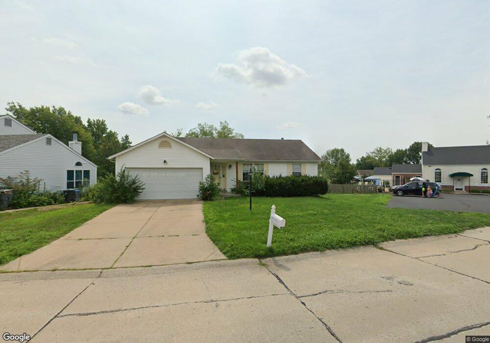
350 Pheasant Point Blvd O Fallon, MO 63368
Estimated Value: $243,000 - $308,000
About This Home
This home is located at 350 Pheasant Point Blvd, O Fallon, MO 63368 and is currently estimated at $275,958, approximately $259 per square foot. 350 Pheasant Point Blvd is a home located in St. Charles County with nearby schools including Pheasant Point Elementary School, Fort Zumwalt West Middle School, and Fort Zumwalt West High School.
Ownership History
Purchase Details
Home Financials for this Owner
Home Financials are based on the most recent Mortgage that was taken out on this home.Purchase Details
Home Financials for this Owner
Home Financials are based on the most recent Mortgage that was taken out on this home.Purchase Details
Home Values in the Area
Average Home Value in this Area
Purchase History
We collect this data history from publicly available records. To have your information removed, we recommend requesting removal directly through your county’s website.
| Date | Buyer | Sale Price | Title Company |
|---|---|---|---|
| Alexander Stacie | -- | None Available | |
| Alexander Stacie | $129,000 | It | |
| Groby John A | -- | -- |
Mortgage History
We collect this data history from publicly available records. To have your information removed, we recommend requesting removal directly through your county’s website.
| Date | Status | Borrower | Loan Amount |
|---|---|---|---|
| Open | Alexander Stacie | $134,000 | |
| Previous Owner | Alexander Stacie | $127,285 |
Tax History
| Year | Tax Paid | Tax Assessment Tax Assessment Total Assessment is a certain percentage of the fair market value that is determined by local assessors to be the total taxable value of land and additions on the property. | Land | Improvement |
|---|---|---|---|---|
| 2025 | $2,682 | $44,833 | -- | -- |
| 2023 | $2,683 | $40,341 | $0 | $0 |
| 2022 | $2,220 | $30,976 | $0 | $0 |
| 2021 | $2,222 | $30,976 | $0 | $0 |
| 2020 | $1,990 | $26,900 | $0 | $0 |
| 2019 | $1,995 | $26,900 | $0 | $0 |
| 2018 | $1,856 | $23,881 | $0 | $0 |
| 2017 | $1,824 | $23,881 | $0 | $0 |
| 2016 | $1,665 | $21,713 | $0 | $0 |
| 2015 | $1,548 | $21,713 | $0 | $0 |
| 2014 | $1,621 | $22,372 | $0 | $0 |
Map
- 815 Brimley Dr
- 2218 Quaint Cottage Dr
- 6519 Star Buck Dr
- 703 Tinsley Ct
- 711 Tinsley Ct
- 6964 Brassel Dr
- 37 Jacqueline Cir
- 531 John Pitman Dr
- 28 Tournament Tee Dr Unit 708C
- 1343 Avondale Spring Dr
- 2849 Royallvalley Way
- 78 Lower Dardenne Farms Dr
- 79 Harrisburg Ct
- 71 Harrisburg Ct
- 218 Brook Ln
- 213 Dardenne Farms Dr
- 2461 Shetland Dr
- 7109 Scotland Dr
- 14 Beckewith Trail
- 7 Cornwallis Ct
- 340 Pheasant Point Blvd
- 330 Pheasant Point Blvd
- 1 Tailor Square
- 170 Pheasant Point Blvd
- 172 Pheasant Point Blvd
- 343 Pheasant Point Blvd
- 150 Pheasant Point Blvd
- 174 Pheasant Point Blvd
- 320 Pheasant Point Blvd
- 176 Pheasant Point Blvd
- 3 Tailor Square
- 337 Pheasant Point Blvd
- 178 Pheasant Point Blvd
- 6 Tailor Square
- 161 Pheasant Point Blvd
- 329 Pheasant Point Blvd
- 151 Pheasant Point Blvd
- 140 Pheasant Point Blvd
- 171 Pheasant Point Blvd
- 310 Pheasant Point Blvd
Ask me questions while you tour the home.