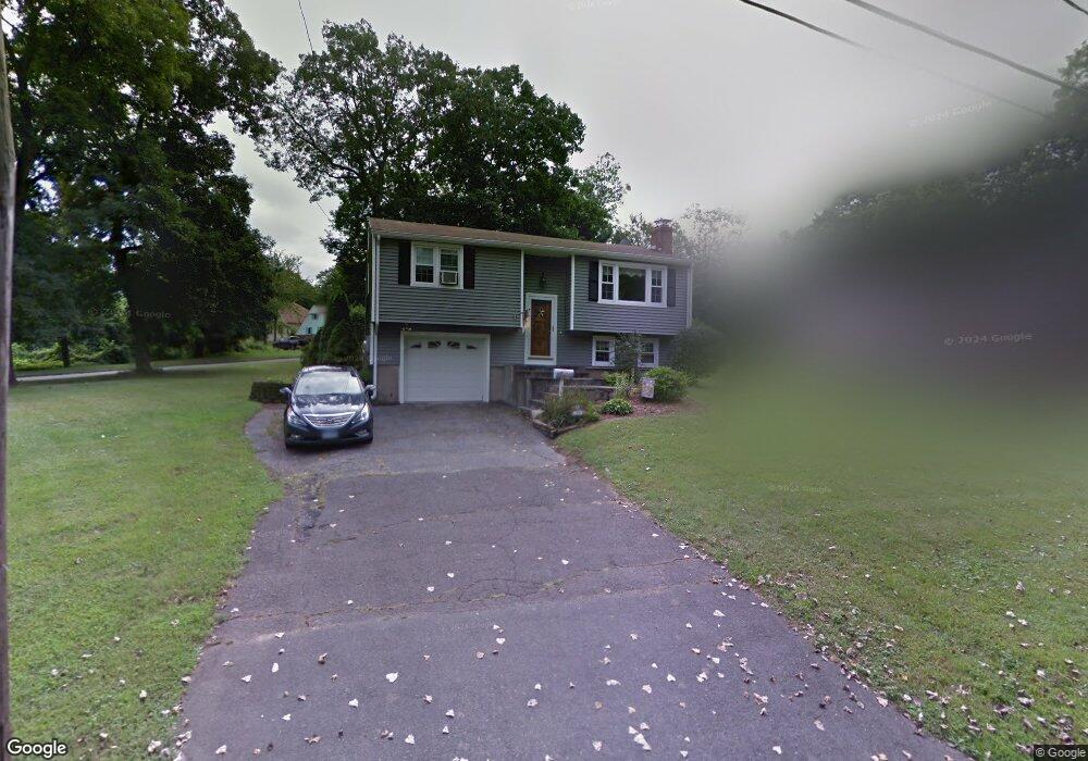
350 Reservoir Rd New Britain, CT 06052
Estimated Value: $320,393 - $357,000
3
Beds
2
Baths
1,400
Sq Ft
$246/Sq Ft
Est. Value
About This Home
This home is located at 350 Reservoir Rd, New Britain, CT 06052 and is currently estimated at $344,348, approximately $245 per square foot. 350 Reservoir Rd is a home located in Hartford County with nearby schools including Lincoln School, Slade Middle School, and Raymond Hill School.
Ownership History
Date
Name
Owned For
Owner Type
Purchase Details
Closed on
Dec 29, 1999
Sold by
Miner Laura Beth
Bought by
Wyskiewicz James A and Wyskiewicz Patricia
Current Estimated Value
Home Financials for this Owner
Home Financials are based on the most recent Mortgage that was taken out on this home.
Original Mortgage
$103,300
Interest Rate
7%
Purchase Details
Closed on
Jun 13, 1996
Sold by
Orchard Farms Dev Inc
Bought by
Miner Laura Beth
Home Financials for this Owner
Home Financials are based on the most recent Mortgage that was taken out on this home.
Original Mortgage
$103,000
Interest Rate
8.5%
Mortgage Type
Unknown
Purchase Details
Closed on
Feb 23, 1990
Sold by
Csinski Stephen E
Bought by
Burkard David H
Create a Home Valuation Report for This Property
The Home Valuation Report is an in-depth analysis detailing your home's value as well as a comparison with similar homes in the area
Home Values in the Area
Average Home Value in this Area
Purchase History
| Date | Buyer | Sale Price | Title Company |
|---|---|---|---|
| Wyskiewicz James A | $106,500 | -- | |
| Miner Laura Beth | $101,000 | -- | |
| Burkard David H | $149,900 | -- |
Source: Public Records
Mortgage History
| Date | Status | Borrower | Loan Amount |
|---|---|---|---|
| Open | Burkard David H | $139,500 | |
| Closed | Burkard David H | $32,000 | |
| Closed | Burkard David H | $103,300 | |
| Previous Owner | Burkard David H | $103,000 |
Source: Public Records
Tax History Compared to Growth
Tax History
| Year | Tax Paid | Tax Assessment Tax Assessment Total Assessment is a certain percentage of the fair market value that is determined by local assessors to be the total taxable value of land and additions on the property. | Land | Improvement |
|---|---|---|---|---|
| 2025 | $5,765 | $147,140 | $65,660 | $81,480 |
| 2024 | $5,825 | $147,140 | $65,660 | $81,480 |
| 2023 | $5,633 | $147,140 | $65,660 | $81,480 |
| 2022 | $4,830 | $97,580 | $30,240 | $67,340 |
| 2021 | $4,830 | $97,580 | $30,240 | $67,340 |
| 2020 | $4,928 | $97,580 | $30,240 | $67,340 |
| 2019 | $4,928 | $97,580 | $30,240 | $67,340 |
| 2018 | $4,928 | $97,580 | $30,240 | $67,340 |
| 2017 | $4,705 | $93,170 | $30,800 | $62,370 |
| 2016 | $4,677 | $92,610 | $30,800 | $61,810 |
| 2015 | $4,538 | $92,610 | $30,800 | $61,810 |
| 2014 | $4,538 | $92,610 | $30,800 | $61,810 |
Source: Public Records
Map
Nearby Homes
- 28 Weigands Dr
- 78 Victoria Rd
- 565 Lincoln St
- 71 Pennsylvania Ave
- 423 Monroe St
- 62 Cedarwood Rd
- 106 Barnes St
- 212 Lincoln St
- 149 Pennsylvania Ave Unit 151
- 96 Garden St
- 73 Brooklawn St
- 33 Colt St
- 112 Lincoln St
- 256 Hart St
- 100 Shuttle Meadow Ave
- 66 Lincoln St
- 305 Lincoln St
- 817 W Main St
- 30 Norden St
- 30 Westerly St