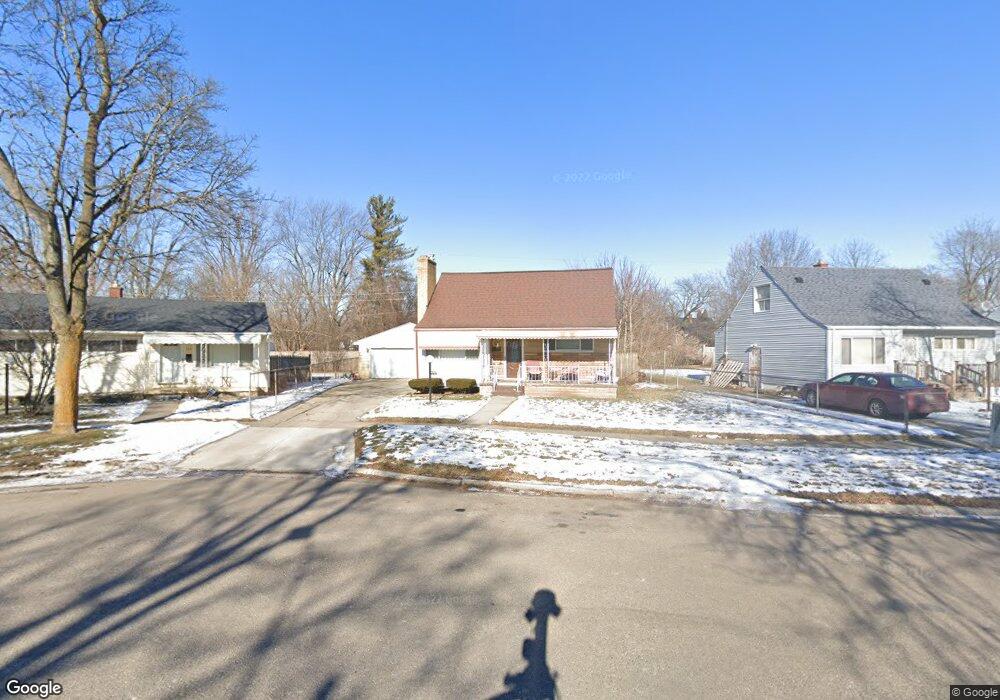
350 Robbie Ln Flint, MI 48505
MLK Circle NeighborhoodEstimated Value: $31,000 - $74,000
3
Beds
2
Baths
1,328
Sq Ft
$39/Sq Ft
Est. Value
About This Home
This home is located at 350 Robbie Ln, Flint, MI 48505 and is currently estimated at $51,706, approximately $38 per square foot. 350 Robbie Ln is a home located in Genesee County with nearby schools including Brownell STEM Academy, The New Standard Academy, and Flint Fairhaven Elementary School.
Ownership History
Date
Name
Owned For
Owner Type
Purchase Details
Closed on
Jan 18, 2018
Sold by
County Land Bank Authority
Bought by
Malloy Lashonda
Current Estimated Value
Purchase Details
Closed on
Mar 29, 2016
Sold by
The Genesee County Land Bank Authority
Bought by
Malloy Lashonda
Purchase Details
Closed on
Dec 17, 2015
Sold by
Genesee County
Bought by
Genesee County Land Bank
Purchase Details
Closed on
Feb 12, 1999
Sold by
Adm Veterans Affairs
Bought by
Collier Thomas A and Collier Allie V
Create a Home Valuation Report for This Property
The Home Valuation Report is an in-depth analysis detailing your home's value as well as a comparison with similar homes in the area
Home Values in the Area
Average Home Value in this Area
Purchase History
| Date | Buyer | Sale Price | Title Company |
|---|---|---|---|
| Malloy Lashonda | $3,500 | None Available | |
| Malloy Lashonda | $3,500 | None Available | |
| Genesee County Land Bank | -- | None Available | |
| Collier Thomas A | -- | -- |
Source: Public Records
Mortgage History
| Date | Status | Borrower | Loan Amount |
|---|---|---|---|
| Closed | Malloy Lashonda | $0 |
Source: Public Records
Tax History
| Year | Tax Paid | Tax Assessment Tax Assessment Total Assessment is a certain percentage of the fair market value that is determined by local assessors to be the total taxable value of land and additions on the property. | Land | Improvement |
|---|---|---|---|---|
| 2025 | $816 | $13,800 | $0 | $0 |
| 2024 | $623 | $12,200 | $0 | $0 |
| 2023 | $618 | $10,000 | $0 | $0 |
| 2022 | $0 | $7,500 | $0 | $0 |
| 2021 | $635 | $7,500 | $0 | $0 |
| 2020 | $584 | $7,600 | $0 | $0 |
| 2019 | $576 | $6,700 | $0 | $0 |
| 2018 | $552 | $6,400 | $0 | $0 |
| 2017 | $596 | $0 | $0 | $0 |
| 2016 | $221 | $0 | $0 | $0 |
| 2015 | -- | $0 | $0 | $0 |
| 2014 | -- | $0 | $0 | $0 |
| 2012 | -- | $10,100 | $0 | $0 |
Source: Public Records
Map
Nearby Homes
- 246 E York Ave
- 209 E York Ave
- 1062 Tremont Ave
- 426 E Holbrook Ave
- 422 E Foss Ave
- 421 E Lorado Ave
- 425 E Lorado Ave
- 5159 Summit St
- 638 E Foss Ave
- 345 E Austin Ave
- 418 E Foss Ave
- 5218 Summit St
- 405 W Bundy Ave
- 225 E Piper Ave
- 5261 Harvard St
- 514 W Alma Ave
- 00 Detroit St
- 614 W Holbrook Ave
- 518 W Ruth Ave
- 802 E Russell Ave
- 344 Robbie Ln
- 354 Robbie Ln
- 338 Robbie Ln
- 358 Robbie Ln
- 332 E Carpenter Rd
- 349 Robbie Ln
- 336 E Carpenter Rd
- 318 E Carpenter Rd
- 341 Robbie Ln
- 322 E Carpenter Rd
- 328 E Carpenter Rd
- 353 Robbie Ln
- 357 Robbie Ln
- 342 E Carpenter Rd
- 335 Robbie Ln
- 312 E Carpenter Rd
- 334 Robbie Ln
- 346 E Carpenter Rd
- 328 Robbie Ln
- 311 Robbie Ln
Your Personal Tour Guide
Ask me questions while you tour the home.