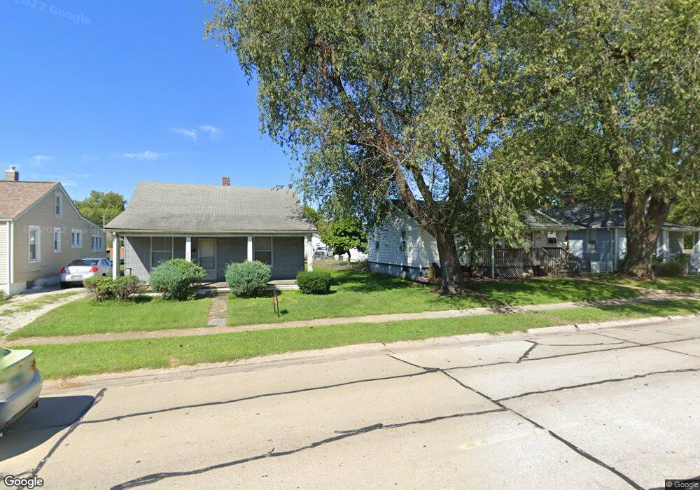
350 Stanton Ln O Fallon, IL 62269
Estimated Value: $368,000 - $463,000
2
Beds
2
Baths
1,600
Sq Ft
$260/Sq Ft
Est. Value
About This Home
This home is located at 350 Stanton Ln, O Fallon, IL 62269 and is currently estimated at $415,587, approximately $259 per square foot. 350 Stanton Ln is a home located in St. Clair County with nearby schools including Moye Elementary School, Carriel Junior High School, and O'Fallon Township High School.
Ownership History
Date
Name
Owned For
Owner Type
Purchase Details
Closed on
May 24, 2012
Sold by
Evans Janice S
Bought by
Randolph Mathew R and Randolph Deborah H
Current Estimated Value
Home Financials for this Owner
Home Financials are based on the most recent Mortgage that was taken out on this home.
Original Mortgage
$156,000
Outstanding Balance
$22,145
Interest Rate
3.89%
Mortgage Type
New Conventional
Estimated Equity
$393,442
Create a Home Valuation Report for This Property
The Home Valuation Report is an in-depth analysis detailing your home's value as well as a comparison with similar homes in the area
Home Values in the Area
Average Home Value in this Area
Purchase History
| Date | Buyer | Sale Price | Title Company |
|---|---|---|---|
| Randolph Mathew R | $195,000 | Fatic |
Source: Public Records
Mortgage History
| Date | Status | Borrower | Loan Amount |
|---|---|---|---|
| Open | Randolph Mathew R | $156,000 |
Source: Public Records
Tax History
| Year | Tax Paid | Tax Assessment Tax Assessment Total Assessment is a certain percentage of the fair market value that is determined by local assessors to be the total taxable value of land and additions on the property. | Land | Improvement |
|---|---|---|---|---|
| 2024 | $6,276 | $97,475 | $52,210 | $45,265 |
| 2023 | $5,749 | $86,514 | $46,339 | $40,175 |
| 2022 | $5,421 | $79,539 | $42,603 | $36,936 |
| 2021 | $5,489 | $79,795 | $42,740 | $37,055 |
| 2020 | $5,434 | $75,532 | $40,457 | $35,075 |
| 2019 | $5,358 | $75,532 | $40,457 | $35,075 |
| 2018 | $5,211 | $73,339 | $39,282 | $34,057 |
| 2017 | $2,760 | $40,558 | $8,187 | $32,371 |
| 2016 | $2,736 | $39,611 | $7,996 | $31,615 |
| 2014 | $2,527 | $39,153 | $7,904 | $31,249 |
| 2013 | $1,202 | $33,089 | $7,783 | $25,306 |
Source: Public Records
Map
Nearby Homes
- 115 Cobblestone Hill
- 000 Haury Rd
- 160 Stonehaven Ct
- 149 Bethel Rd
- 168 Knollhaven Trail
- 1845 Riviera Ln
- 166 Berringer Dr
- 1676 Lancaster Dr
- 505 Lake Vista Way
- 1361 Dove Hollow Cir
- 1821 Orr Ln
- 1240 Pausch Rd Unit 6.65 ac
- 1240 Pausch Rd
- 449 Tyler Dr
- 7001 Lockmann Rd
- 1309 Coleridge Ct
- 1338 Piasa Ct
- 1171 Red Hawk Ridge Ln
- 1251 Wayne Ct
- 1454 Scott Troy Rd
- 358 Stanton Ln
- 340 Stanton Ln
- 356 Kings Ridge Blvd
- 360 Kings Ridge Blvd
- 364 Kings Ridge Blvd
- 368 Kings Ridge Blvd
- 352 Kings Ridge Blvd
- 372 Kings Ridge Blvd
- 1805 Kincaid Ct
- 367 Kings Ridge Blvd
- 363 Kings Ridge Blvd
- 348 Kings Ridge Blvd
- 1781 Caprice Ct
- 376 Kings Ridge Blvd
- 1782 Caprice Ct
- 375 Kings Ridge Blvd
- 1806 Kincaid Ct
- 380 Kings Ridge Blvd
- 1802 Kincaid Ct
- 1777 Caprice Ct
Your Personal Tour Guide
Ask me questions while you tour the home.