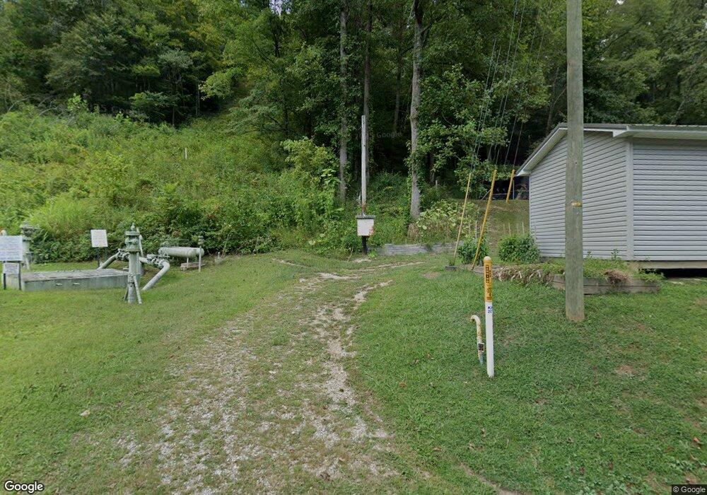
350 State Highway 1056 Pinsonfork, KY 41555
Estimated Value: $152,000 - $183,231
3
Beds
3
Baths
1,803
Sq Ft
$90/Sq Ft
Est. Value
About This Home
This home is located at 350 State Highway 1056, Pinsonfork, KY 41555 and is currently estimated at $162,558, approximately $90 per square foot. 350 State Highway 1056 is a home located in Pike County.
Ownership History
Date
Name
Owned For
Owner Type
Purchase Details
Closed on
Dec 8, 2017
Sold by
Case Moses Mitchell
Bought by
Davis Robert H
Current Estimated Value
Home Financials for this Owner
Home Financials are based on the most recent Mortgage that was taken out on this home.
Original Mortgage
$13,095
Outstanding Balance
$11,025
Interest Rate
3.94%
Mortgage Type
New Conventional
Estimated Equity
$151,533
Purchase Details
Closed on
Mar 7, 2005
Sold by
Coley Robin Kerry
Bought by
Case Moses Mitchell
Create a Home Valuation Report for This Property
The Home Valuation Report is an in-depth analysis detailing your home's value as well as a comparison with similar homes in the area
Home Values in the Area
Average Home Value in this Area
Purchase History
| Date | Buyer | Sale Price | Title Company |
|---|---|---|---|
| Davis Robert H | $135,000 | None Available | |
| Case Moses Mitchell | -- | None Available |
Source: Public Records
Mortgage History
| Date | Status | Borrower | Loan Amount |
|---|---|---|---|
| Open | Davis Robert H | $13,095 |
Source: Public Records
Tax History Compared to Growth
Tax History
| Year | Tax Paid | Tax Assessment Tax Assessment Total Assessment is a certain percentage of the fair market value that is determined by local assessors to be the total taxable value of land and additions on the property. | Land | Improvement |
|---|---|---|---|---|
| 2024 | $1,226 | $135,000 | $0 | $0 |
| 2023 | $1,259 | $135,000 | $0 | $0 |
| 2022 | $1,922 | $135,000 | $0 | $0 |
| 2021 | $1,927 | $135,000 | $0 | $0 |
| 2020 | $1,932 | $135,000 | $0 | $0 |
| 2019 | $1,937 | $135,000 | $0 | $0 |
| 2018 | $1,937 | $135,000 | $0 | $0 |
| 2017 | $855 | $60,000 | $0 | $0 |
| 2016 | $691 | $60,000 | $0 | $0 |
| 2015 | $632 | $60,000 | $0 | $0 |
| 2014 | $595 | $60,000 | $0 | $0 |
| 2012 | $597 | $60,000 | $10,000 | $50,000 |
Source: Public Records
Map
Nearby Homes
- 330 State Highway 1056
- 4921 Pond Creek Rd
- 149 Mullen Fork Rd
- 247 Netley Branch
- 778 Upper Blackberry Rd
- 1119 Dials Branch
- 101 Church St
- 81 & 65 Church St
- 31 Jerry Bottom Ct
- 22250 E Big Creek Rd
- 5768 State Highway 1056
- 511 Hatfield Branch Rd
- 529 Hatfield Branch Rd
- 469 Hatfield Branch
- 00 State Highway 319
- 2588 Meathouse Fork
- 5924 Upper Johns Creek
- 200 Stanley Ln
- 5844 Upper Johns Creek
- 73 Hillside Dr
- 339 State Highway 1056
- 323 State Highway 1056
- 434 State Highway 1056
- 297 State Highway 1056
- 25 Sullivan St
- 80 State Highway 1056
- 90 State Highway 1056
- 70 State Highway 1056
- 53 Sullivan St
- 14 Sullivan St
- 506 State Highway 1056
- 578 State Highway 1056
- 63 St Why 1056
- 412 State Highway 1056
- 486 State Highway 1056
- 149 State Highway 1056
- 169 State Highway 1056
- 18 State Highway 1056
- 3512 Pond Creek Rd
- 3438 Pond Creek Rd
