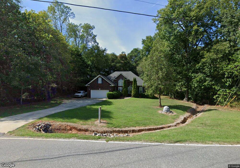
350 State Park Rd Troutman, NC 28166
Estimated Value: $460,000 - $825,000
3
Beds
2
Baths
2,640
Sq Ft
$219/Sq Ft
Est. Value
About This Home
This home is located at 350 State Park Rd, Troutman, NC 28166 and is currently estimated at $577,949, approximately $218 per square foot. 350 State Park Rd is a home located in Iredell County with nearby schools including Troutman Elementary School, Troutman Middle School, and South Iredell High School.
Ownership History
Date
Name
Owned For
Owner Type
Purchase Details
Closed on
Jun 14, 2004
Sold by
Easter Development Corp
Bought by
Lenster Dennis L and Lenster Anita A
Current Estimated Value
Home Financials for this Owner
Home Financials are based on the most recent Mortgage that was taken out on this home.
Original Mortgage
$189,100
Outstanding Balance
$92,315
Interest Rate
5.98%
Mortgage Type
Purchase Money Mortgage
Estimated Equity
$485,634
Purchase Details
Closed on
Oct 1, 1997
Purchase Details
Closed on
Feb 1, 1997
Purchase Details
Closed on
Dec 1, 1994
Create a Home Valuation Report for This Property
The Home Valuation Report is an in-depth analysis detailing your home's value as well as a comparison with similar homes in the area
Home Values in the Area
Average Home Value in this Area
Purchase History
| Date | Buyer | Sale Price | Title Company |
|---|---|---|---|
| Lenster Dennis L | $200,000 | -- | |
| -- | $7,000 | -- | |
| -- | $7,500 | -- | |
| -- | -- | -- |
Source: Public Records
Mortgage History
| Date | Status | Borrower | Loan Amount |
|---|---|---|---|
| Open | Lenster Dennis L | $189,100 |
Source: Public Records
Tax History Compared to Growth
Tax History
| Year | Tax Paid | Tax Assessment Tax Assessment Total Assessment is a certain percentage of the fair market value that is determined by local assessors to be the total taxable value of land and additions on the property. | Land | Improvement |
|---|---|---|---|---|
| 2024 | $1,400 | $456,500 | $45,000 | $411,500 |
| 2023 | $1,400 | $456,500 | $45,000 | $411,500 |
| 2022 | $1,543 | $232,670 | $28,000 | $204,670 |
| 2021 | $1,516 | $232,670 | $28,000 | $204,670 |
| 2020 | $1,516 | $232,670 | $28,000 | $204,670 |
| 2019 | $1,477 | $235,770 | $28,000 | $207,770 |
| 2018 | $1,255 | $201,400 | $20,000 | $181,400 |
| 2017 | $1,255 | $201,400 | $20,000 | $181,400 |
| 2016 | $1,255 | $201,400 | $20,000 | $181,400 |
| 2015 | $1,255 | $201,400 | $20,000 | $181,400 |
| 2014 | $1,219 | $212,160 | $20,000 | $192,160 |
Source: Public Records
Map
Nearby Homes
- 134 Honeycutt Rd Unit 6
- 134 Honeycutt Rd Unit 5
- 134 Honeycutt Rd Unit 4
- 134 Honeycutt Rd Unit 3
- 134 Honeycutt Rd Unit 2
- 134 Honeycutt Rd Unit 1
- 407 State Park Rd
- 161 Fernview Trail Unit 9
- 191 State Park Rd
- 126 Meadowfall Ln
- 157 Silver Falls Dr
- 125 Crestview Ln Unit 14
- 133 Crestview Ln Unit 15
- 199 Shenandoah Loop
- 111 Cinder Ridge Ct
- 119 Cinder Ridge Ct
- Greenwood Plan at Saddlehorn
- Oxford Plan at Saddlehorn
- Paxton Plan at Saddlehorn
- Hartford Plan at Saddlehorn
- 114 Brendle Ln
- 345 State Park Rd
- 117 Brendle Ln
- 581 Hicks Creek Rd
- 113 Brendle Ln
- 333 State Park Rd
- 106 Brendle Ln
- 107 Brendle Ln Unit 9
- 107 Brendle Ln
- L21 State Park Rd
- L20 State Park Rd
- L1&2 Honeycutt Rd
- 559 Hicks Creek Rd
- 323 State Park Rd
- 323 State Park Rd Unit 1-2
- 377 State Park Rd
- 555 Hicks Creek Rd
- 125 Honeycutt Rd
- 586 Hicks Creek Rd
- 314 State Park Rd