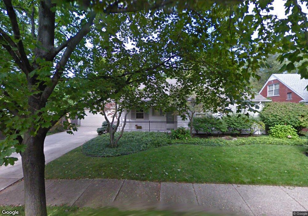
350 Stephens Rd Grosse Pointe Farms, MI 48236
Estimated Value: $419,737 - $531,000
3
Beds
2
Baths
1,504
Sq Ft
$314/Sq Ft
Est. Value
About This Home
This home is located at 350 Stephens Rd, Grosse Pointe Farms, MI 48236 and is currently estimated at $471,934, approximately $313 per square foot. 350 Stephens Rd is a home located in Wayne County with nearby schools including Kerby Elementary School, Brownell Middle School, and Grosse Pointe South High School.
Ownership History
Date
Name
Owned For
Owner Type
Purchase Details
Closed on
Jul 18, 2024
Sold by
Hansen Stephen J and Hansen Nancy A
Bought by
Stephen J Hansen And Nancy A Hansen Revocable and Hansen
Current Estimated Value
Purchase Details
Closed on
Jun 8, 2009
Sold by
Mooney Gerard C and Mooney David W
Bought by
Hansen Stephen J
Home Financials for this Owner
Home Financials are based on the most recent Mortgage that was taken out on this home.
Original Mortgage
$136,000
Interest Rate
4.85%
Mortgage Type
Purchase Money Mortgage
Create a Home Valuation Report for This Property
The Home Valuation Report is an in-depth analysis detailing your home's value as well as a comparison with similar homes in the area
Home Values in the Area
Average Home Value in this Area
Purchase History
| Date | Buyer | Sale Price | Title Company |
|---|---|---|---|
| Stephen J Hansen And Nancy A Hansen Revocable | -- | None Listed On Document | |
| Hansen Stephen J | $175,000 | Greco |
Source: Public Records
Mortgage History
| Date | Status | Borrower | Loan Amount |
|---|---|---|---|
| Previous Owner | Hansen Stephen J | $136,000 |
Source: Public Records
Tax History Compared to Growth
Tax History
| Year | Tax Paid | Tax Assessment Tax Assessment Total Assessment is a certain percentage of the fair market value that is determined by local assessors to be the total taxable value of land and additions on the property. | Land | Improvement |
|---|---|---|---|---|
| 2025 | $3,075 | $218,700 | $0 | $0 |
| 2024 | $3,075 | $195,800 | $0 | $0 |
| 2023 | $2,817 | $180,200 | $0 | $0 |
| 2022 | $2,817 | $163,000 | $0 | $0 |
| 2021 | $5,170 | $154,300 | $0 | $0 |
| 2019 | $5,084 | $149,500 | $0 | $0 |
| 2018 | $2,602 | $135,500 | $0 | $0 |
| 2017 | $4,514 | $132,900 | $0 | $0 |
| 2016 | $4,732 | $128,300 | $0 | $0 |
| 2015 | $9,373 | $104,400 | $0 | $0 |
| 2013 | $9,080 | $90,800 | $0 | $0 |
| 2012 | $2,368 | $89,000 | $46,100 | $42,900 |
Source: Public Records
Map
Nearby Homes
- 314 Mount Vernon Ave
- 343 Mount Vernon Ave
- 302 Mount Vernon Ave
- 265 Williams Ave
- 317 Mount Vernon Ave
- 351 Moselle Place
- 380 Merriweather Rd
- 415 Lothrop Rd
- 441 Manor St
- 259 Mount Vernon Ave
- 432 Calvin Ave
- 341 Mcmillan Rd
- 352 Mckinley Ave
- 471 Touraine Rd
- 975 Fisher Rd
- 218 Merriweather Rd
- 827 Fisher Rd
- 194 Charlevoix Ave
- 276 Lewiston Rd
- 257 Ridge Rd
- 244 Williams Ave
- 340 Stephens Rd
- 336 Stephens Rd Unit Bldg-Unit
- 336 Stephens Rd
- 349 Stephens Rd
- 341 Stephens Rd
- 248 Williams Ave
- 335 Stephens Rd
- 334 Stephens Rd
- 330 Stephens Rd
- 252 Williams Ave
- 331 Stephens Rd
- 234 Williams Ave
- 332 Stephens Rd
- 333 Cloverly Rd
- 327 Cloverly Rd
- 334 Lothrop Rd
- 320 Stephens Rd
- 340 Lothrop Rd
- 330 Lothrop Rd