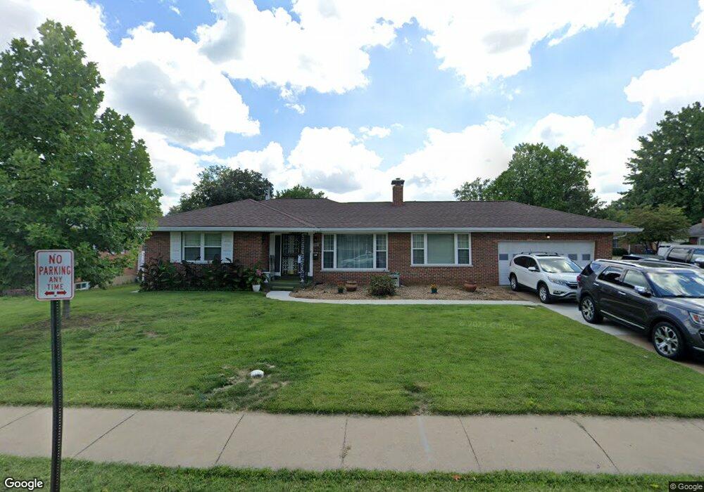
350 W Saint Anthony Ln Florissant, MO 63031
Estimated Value: $217,000 - $230,000
3
Beds
3
Baths
1,736
Sq Ft
$128/Sq Ft
Est. Value
About This Home
This home is located at 350 W Saint Anthony Ln, Florissant, MO 63031 and is currently estimated at $222,540, approximately $128 per square foot. 350 W Saint Anthony Ln is a home located in St. Louis County with nearby schools including Duchesne Elementary School, Cross Keys Middle School, and McCluer North High School.
Ownership History
Date
Name
Owned For
Owner Type
Purchase Details
Closed on
Jul 10, 2009
Sold by
Noisworthy Harold D and Noisworthy Joyce M
Bought by
Phelps Robert B and Phelps Lynda
Current Estimated Value
Home Financials for this Owner
Home Financials are based on the most recent Mortgage that was taken out on this home.
Original Mortgage
$127,800
Outstanding Balance
$81,957
Interest Rate
4.97%
Mortgage Type
Purchase Money Mortgage
Estimated Equity
$140,583
Create a Home Valuation Report for This Property
The Home Valuation Report is an in-depth analysis detailing your home's value as well as a comparison with similar homes in the area
Home Values in the Area
Average Home Value in this Area
Purchase History
| Date | Buyer | Sale Price | Title Company |
|---|---|---|---|
| Phelps Robert B | $142,000 | None Available |
Source: Public Records
Mortgage History
| Date | Status | Borrower | Loan Amount |
|---|---|---|---|
| Open | Phelps Robert B | $127,800 |
Source: Public Records
Tax History Compared to Growth
Tax History
| Year | Tax Paid | Tax Assessment Tax Assessment Total Assessment is a certain percentage of the fair market value that is determined by local assessors to be the total taxable value of land and additions on the property. | Land | Improvement |
|---|---|---|---|---|
| 2025 | $2,819 | $38,840 | $6,670 | $32,170 |
| 2024 | $2,819 | $36,560 | $3,420 | $33,140 |
| 2023 | $2,809 | $36,560 | $3,420 | $33,140 |
| 2022 | $2,484 | $28,390 | $4,390 | $24,000 |
| 2021 | $2,441 | $28,390 | $4,390 | $24,000 |
| 2020 | $2,348 | $25,630 | $4,390 | $21,240 |
| 2019 | $2,302 | $25,630 | $4,390 | $21,240 |
| 2018 | $2,246 | $22,330 | $2,300 | $20,030 |
| 2017 | $2,234 | $22,330 | $2,300 | $20,030 |
| 2016 | $2,266 | $22,080 | $3,060 | $19,020 |
| 2015 | $2,279 | $22,080 | $3,060 | $19,020 |
| 2014 | $2,410 | $24,130 | $4,180 | $19,950 |
Source: Public Records
Map
Nearby Homes
- 270 W Saint Anthony Ln
- 250 Maple Dr
- 215 Maple Dr
- 38 Spring Dr
- 150 Saint Daniel Ln
- 24 Valley Dr
- 215 Derhake Rd
- 1205 Saint Matthew Dr
- 540 S Jefferson St
- 940 Harrison St
- 305 S Lafayette St
- 50 Saint Walter Ln
- 1375 S New Florissant Rd
- 840 Pershall Rd
- 175 Clark St
- 630 Graham Rd
- 45 Chateau Dr
- 15 Henson Ln
- 14 Saint Martha Ct
- 580 Saint Marie St
- 360 W Saint Anthony Ln
- 14 Elm Dr
- 365 Maple Dr
- 19 Elm Dr
- 17 Elm Dr
- 355 W Saint Anthony Ln
- 370 W Saint Anthony Ln
- 345 W Saint Anthony Ln
- 365 W Saint Anthony Ln
- 15 Elm Dr
- 375 Maple Dr
- 335 W Saint Anthony Ln
- 320 W Saint Anthony Ln
- 305 Maple Dr
- 390 W Saint Anthony Ln
- 10 Elm Dr
- 330 Reighley Place
- 326 Reighley Place
- 360 Maple Dr
- 334 Reighley Place