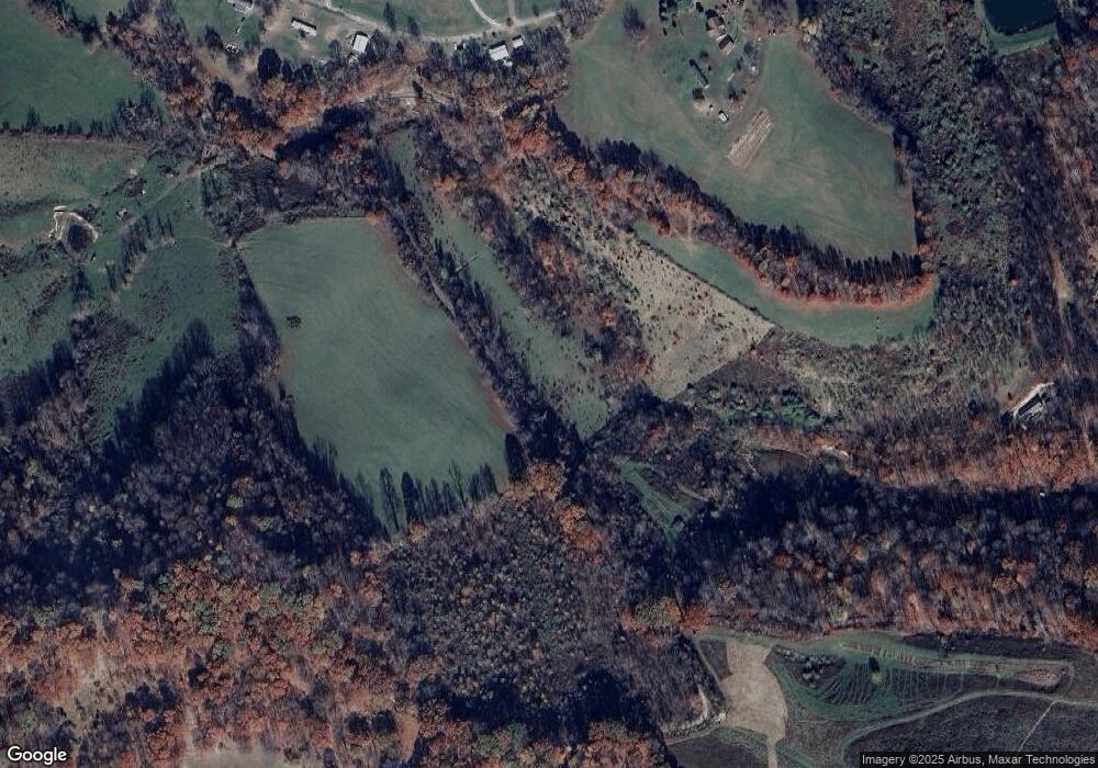
350 Walnut Hill Rd Morgantown, WV 26501
Cassville NeighborhoodEstimated Value: $409,771 - $572,000
3
Beds
3
Baths
4,634
Sq Ft
$108/Sq Ft
Est. Value
About This Home
This home is located at 350 Walnut Hill Rd, Morgantown, WV 26501 and is currently estimated at $498,943, approximately $107 per square foot. 350 Walnut Hill Rd is a home with nearby schools including Mylan Park Elementary School, Westwood Middle School, and University High School.
Ownership History
Date
Name
Owned For
Owner Type
Purchase Details
Closed on
Oct 27, 2016
Sold by
Yost Kevin Dale
Bought by
Yost Andrew F and Yost Kaylin M
Current Estimated Value
Home Financials for this Owner
Home Financials are based on the most recent Mortgage that was taken out on this home.
Original Mortgage
$275,742
Outstanding Balance
$221,930
Interest Rate
3.5%
Mortgage Type
FHA
Estimated Equity
$277,013
Create a Home Valuation Report for This Property
The Home Valuation Report is an in-depth analysis detailing your home's value as well as a comparison with similar homes in the area
Home Values in the Area
Average Home Value in this Area
Purchase History
| Date | Buyer | Sale Price | Title Company |
|---|---|---|---|
| Yost Andrew F | $315,000 | None Available |
Source: Public Records
Mortgage History
| Date | Status | Borrower | Loan Amount |
|---|---|---|---|
| Open | Yost Andrew F | $275,742 |
Source: Public Records
Tax History Compared to Growth
Tax History
| Year | Tax Paid | Tax Assessment Tax Assessment Total Assessment is a certain percentage of the fair market value that is determined by local assessors to be the total taxable value of land and additions on the property. | Land | Improvement |
|---|---|---|---|---|
| 2024 | $2,033 | $192,240 | $14,880 | $177,360 |
| 2023 | $2,049 | $192,240 | $14,880 | $177,360 |
| 2022 | $1,958 | $191,040 | $14,820 | $176,220 |
| 2021 | $1,967 | $191,040 | $14,820 | $176,220 |
| 2020 | $1,996 | $192,960 | $14,820 | $178,140 |
| 2019 | $1,969 | $189,000 | $20,100 | $168,900 |
| 2018 | $1,975 | $189,000 | $20,100 | $168,900 |
| 2017 | $1,986 | $189,000 | $20,100 | $168,900 |
| 2016 | $1,949 | $184,320 | $19,080 | $165,240 |
| 2015 | $1,870 | $184,980 | $17,460 | $167,520 |
| 2014 | $1,755 | $182,040 | $16,800 | $165,240 |
Source: Public Records
Map
Nearby Homes
- tbd Walnut Hill Rd
- Parcel B Guston Run Rd
- Parcel A Guston Run Rd
- Parcel C Guston Run Rd
- 8 Drake Rd
- 455 Wades Run Rd
- 917 Bunker Ct
- 643 Links Dr
- 769 Mulligan Ct
- 21 Ramp Hollow Rd
- 767 Mulligan Ct
- 815 Bogey Ln
- 761 Mulligan Ct
- 817 Bogey Ln
- 759 Mulligan Ct
- 120 Tee Dr
- 111 Tee Dr
- 724 Mulligan Ct
- 645 Links Dr
- 227 Meadow Ponds Ln
- 331 Walnut Hill Rd
- 324 Walnut Hill Rd
- 0 Walnut Hill Rd
- 400 Walnut Hill Rd
- 300 Walnut Hill Rd
- 329 Walnut Hill Rd
- 268 Walnut Hill Rd
- 419 Walnut Hill Rd
- 254 Walnut Hill Rd
- 476 Walnut Hill Rd
- 245 Walnut Hill Rd
- 238 Walnut Hill Rd
- 259 Walnut Hill Rd
- 1115 Blue Horizon Dr
- 1297 Blue Horizon Dr
- 1271 Blue Horizon Dr
- 1195 Blue Horizon Dr
- 1264 Blue Horizon Dr
- 1232 Blue Horizon Dr
- 1208 Blue Horizon Dr
