350 Wilcrest Dr Unit 350 Houston, TX 77042
Briar Forest NeighborhoodEstimated Value: $180,000 - $200,000
2
Beds
3
Baths
1,740
Sq Ft
$110/Sq Ft
Est. Value
About This Home
This home is located at 350 Wilcrest Dr Unit 350, Houston, TX 77042 and is currently estimated at $191,073, approximately $109 per square foot. 350 Wilcrest Dr Unit 350 is a home located in Harris County with nearby schools including Askew Elementary School, Paul Revere Middle School, and Westside High School.
Ownership History
Date
Name
Owned For
Owner Type
Purchase Details
Closed on
Dec 3, 2014
Sold by
Ragoonanan Nishan and Sookdeo Tricia
Bought by
Fannin Jessica L
Current Estimated Value
Home Financials for this Owner
Home Financials are based on the most recent Mortgage that was taken out on this home.
Original Mortgage
$120,000
Outstanding Balance
$91,953
Interest Rate
3.93%
Mortgage Type
New Conventional
Estimated Equity
$99,120
Purchase Details
Closed on
Jul 1, 2002
Sold by
Baker Virginia Kay and Baker Simpson Virginia K
Bought by
Ragoonanan Nishan
Home Financials for this Owner
Home Financials are based on the most recent Mortgage that was taken out on this home.
Original Mortgage
$74,500
Interest Rate
6.78%
Purchase Details
Closed on
Dec 27, 1993
Sold by
Morris Andrew G
Bought by
Baker Raymond B and Baker Virginia Kay
Home Financials for this Owner
Home Financials are based on the most recent Mortgage that was taken out on this home.
Original Mortgage
$71,550
Interest Rate
7.12%
Create a Home Valuation Report for This Property
The Home Valuation Report is an in-depth analysis detailing your home's value as well as a comparison with similar homes in the area
Home Values in the Area
Average Home Value in this Area
Purchase History
| Date | Buyer | Sale Price | Title Company |
|---|---|---|---|
| Fannin Jessica L | -- | None Available | |
| Ragoonanan Nishan | -- | Chicago Title | |
| Baker Raymond B | -- | Sovereign Title Company |
Source: Public Records
Mortgage History
| Date | Status | Borrower | Loan Amount |
|---|---|---|---|
| Open | Fannin Jessica L | $120,000 | |
| Previous Owner | Ragoonanan Nishan | $74,500 | |
| Previous Owner | Baker Raymond B | $71,550 |
Source: Public Records
Tax History Compared to Growth
Tax History
| Year | Tax Paid | Tax Assessment Tax Assessment Total Assessment is a certain percentage of the fair market value that is determined by local assessors to be the total taxable value of land and additions on the property. | Land | Improvement |
|---|---|---|---|---|
| 2025 | $4,055 | $189,776 | $36,057 | $153,719 |
| 2024 | $4,055 | $193,820 | $36,826 | $156,994 |
| 2023 | $4,055 | $197,105 | $37,450 | $159,655 |
| 2022 | $3,836 | $174,193 | $33,097 | $141,096 |
| 2021 | $3,697 | $158,638 | $30,141 | $128,497 |
| 2020 | $3,857 | $159,289 | $30,265 | $129,024 |
| 2019 | $3,959 | $156,464 | $29,728 | $126,736 |
| 2018 | $3,854 | $152,311 | $28,939 | $123,372 |
| 2017 | $3,851 | $152,311 | $28,939 | $123,372 |
| 2016 | $3,696 | $146,161 | $27,771 | $118,390 |
| 2015 | $3,333 | $146,161 | $27,771 | $118,390 |
| 2014 | $3,333 | $129,643 | $24,632 | $105,011 |
Source: Public Records
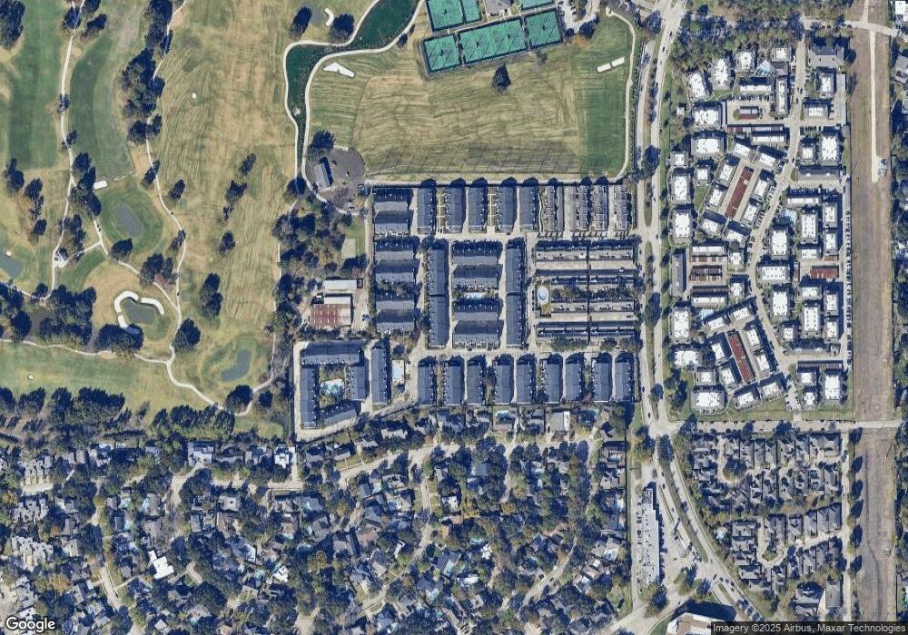
Map
Nearby Homes
- 360 Wilcrest Dr Unit 360
- 600 Wilcrest Dr Unit 66
- 580 Wilcrest Dr Unit 580
- 1306 Riverview Ct
- 11418 Lakeside Place Dr
- 210 Big Hollow Ln
- 11422 Lakeside Place Dr
- 1506 Haven Lock Dr
- 1325 Chardonnay Dr
- 11418 Long Pine Dr
- 11206 Mattina Dr
- 1336 Chardonnay Dr
- 203 Cove Creek Ln
- 11603 Lakeside Place Dr
- 1353 Chardonnay Dr
- 1365 Chardonnay Dr
- 1532 Prairie Grove Dr
- 1515 Sandy Springs Rd Unit 1808
- 1515 Sandy Springs Rd Unit 1102
- 1515 Sandy Springs Rd Unit 3003
- 358 Wilcrest Dr Unit 358
- 348 Wilcrest Dr Unit 348
- 356 Wilcrest Dr Unit 356
- 346 Wilcrest Dr Unit 346
- 354 Wilcrest Dr Unit 354
- 334 Wilcrest Dr Unit 334
- 332 Wilcrest Dr Unit 332
- 264 Wilcrest Dr Unit 264
- 262 Wilcrest Dr Unit 262
- 266 Wilcrest Dr Unit 266
- 342 Wilcrest Dr Unit 342
- 344 Wilcrest Dr Unit 344
- 352 Wilcrest Dr Unit 352
- 268 Wilcrest Dr Unit 268
- 330 Wilcrest Dr Unit 330
- 220 Wilcrest Dr
- 270 Wilcrest Dr Unit 270
- 206 Wilcrest Dr Unit 206
- 338 Wilcrest Dr Unit 338
- 272 Wilcrest Dr Unit 272