350 Windsor Dr Point Roberts, WA 98281
Estimated Value: $299,000 - $353,000
1
Bed
1
Bath
670
Sq Ft
$486/Sq Ft
Est. Value
About This Home
This home is located at 350 Windsor Dr, Point Roberts, WA 98281 and is currently estimated at $325,738, approximately $486 per square foot. 350 Windsor Dr is a home located in Whatcom County with nearby schools including Point Roberts Primary School, Blaine Middle School, and Blaine High School.
Ownership History
Date
Name
Owned For
Owner Type
Purchase Details
Closed on
Oct 10, 2008
Sold by
Johnson Jarl Brent and Johnson Debra Lynne
Bought by
Overton Catherine M
Current Estimated Value
Purchase Details
Closed on
Jun 16, 2001
Sold by
Daum Laura A
Bought by
Johnson Jarl Brent and Johnson Debra Lynne
Home Financials for this Owner
Home Financials are based on the most recent Mortgage that was taken out on this home.
Original Mortgage
$37,500
Interest Rate
7.15%
Mortgage Type
Seller Take Back
Create a Home Valuation Report for This Property
The Home Valuation Report is an in-depth analysis detailing your home's value as well as a comparison with similar homes in the area
Home Values in the Area
Average Home Value in this Area
Purchase History
| Date | Buyer | Sale Price | Title Company |
|---|---|---|---|
| Overton Catherine M | $196,280 | Chicago Title Insurance | |
| Johnson Jarl Brent | -- | Chicago Title Insurance |
Source: Public Records
Mortgage History
| Date | Status | Borrower | Loan Amount |
|---|---|---|---|
| Previous Owner | Johnson Jarl Brent | $37,500 |
Source: Public Records
Tax History Compared to Growth
Tax History
| Year | Tax Paid | Tax Assessment Tax Assessment Total Assessment is a certain percentage of the fair market value that is determined by local assessors to be the total taxable value of land and additions on the property. | Land | Improvement |
|---|---|---|---|---|
| 2024 | $2,334 | $287,259 | $152,369 | $134,890 |
| 2023 | $2,334 | $273,408 | $138,518 | $134,890 |
| 2022 | $1,998 | $249,687 | $126,500 | $123,187 |
| 2021 | $1,990 | $193,660 | $108,011 | $85,649 |
| 2020 | $1,984 | $179,313 | $100,009 | $79,304 |
| 2019 | $1,844 | $172,001 | $95,931 | $76,070 |
| 2018 | $1,706 | $154,627 | $86,241 | $68,386 |
| 2017 | $1,480 | $147,678 | $82,365 | $65,313 |
| 2016 | $1,536 | $144,782 | $80,750 | $64,032 |
| 2015 | $1,633 | $146,140 | $82,119 | $64,021 |
| 2014 | -- | $152,778 | $85,850 | $66,928 |
| 2013 | -- | $146,318 | $82,450 | $63,868 |
Source: Public Records
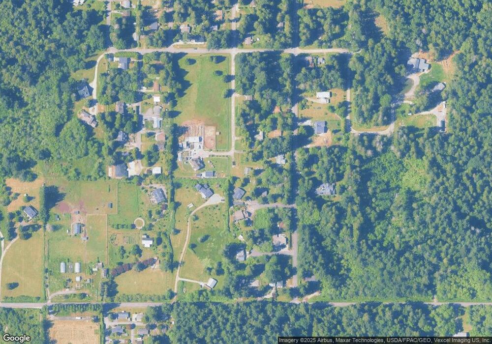
Map
Nearby Homes
- 8 Heather Way
- 2 Benson Rd
- 1 Mill Rd
- 2 Mill Rd
- 245 Shady Glen Ave
- 0 6 39 Acres South Beach Rd
- 1871 Johnson Rd
- 168 Tyee Dr
- 158 Tyee Dr
- lot 14 Cedar Park Dr Unit 14
- Lot 2 Greenwood Dr
- 1976 Cedar Park Dr
- 125 Park Dr
- 1931 Sanders Ct Unit 11
- 1542 Columbia Vista Dr
- 1940 Apa Rd
- 1911 Apa Rd
- 1927 Orcas View Way
- 634 S Beach Rd
- 2138 Benson Rd