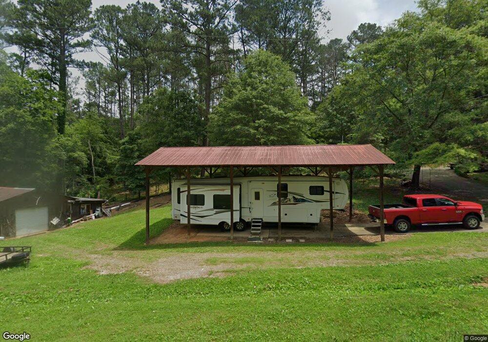
350 Woody Rd SW Adairsville, GA 30103
Estimated Value: $178,000 - $240,000
3
Beds
2
Baths
1,414
Sq Ft
$151/Sq Ft
Est. Value
About This Home
This home is located at 350 Woody Rd SW, Adairsville, GA 30103 and is currently estimated at $213,618, approximately $151 per square foot. 350 Woody Rd SW is a home located in Gordon County with nearby schools including Swain Elementary School, Ashworth Middle School, and Gordon Central High School.
Ownership History
Date
Name
Owned For
Owner Type
Purchase Details
Closed on
Nov 16, 2007
Sold by
King Kenneth R
Bought by
King Keith and King Stephanie
Current Estimated Value
Purchase Details
Closed on
Mar 3, 2005
Sold by
Jerry Wayne
Bought by
King Kenneth R and King Mary Evelyn
Home Financials for this Owner
Home Financials are based on the most recent Mortgage that was taken out on this home.
Original Mortgage
$29,000
Interest Rate
5.6%
Mortgage Type
New Conventional
Purchase Details
Closed on
Dec 4, 1996
Bought by
Self Mary Lou and Self Johnny
Create a Home Valuation Report for This Property
The Home Valuation Report is an in-depth analysis detailing your home's value as well as a comparison with similar homes in the area
Home Values in the Area
Average Home Value in this Area
Purchase History
| Date | Buyer | Sale Price | Title Company |
|---|---|---|---|
| King Keith | $38,000 | -- | |
| King Kenneth R | $25,000 | -- | |
| Self Mary Lou | -- | -- |
Source: Public Records
Mortgage History
| Date | Status | Borrower | Loan Amount |
|---|---|---|---|
| Previous Owner | King Kenneth R | $29,000 |
Source: Public Records
Tax History Compared to Growth
Tax History
| Year | Tax Paid | Tax Assessment Tax Assessment Total Assessment is a certain percentage of the fair market value that is determined by local assessors to be the total taxable value of land and additions on the property. | Land | Improvement |
|---|---|---|---|---|
| 2024 | $514 | $46,700 | $2,960 | $43,740 |
| 2023 | $442 | $43,868 | $2,960 | $40,908 |
| 2022 | $395 | $41,232 | $2,960 | $38,272 |
| 2021 | $300 | $33,524 | $2,960 | $30,564 |
| 2020 | $307 | $33,972 | $2,960 | $31,012 |
| 2019 | $309 | $34,054 | $2,960 | $31,094 |
| 2018 | $859 | $31,814 | $2,960 | $28,854 |
| 2017 | $835 | $30,174 | $2,960 | $27,214 |
| 2016 | $837 | $30,174 | $2,960 | $27,214 |
| 2015 | $817 | $29,254 | $2,960 | $26,294 |
| 2014 | $757 | $27,993 | $2,967 | $25,026 |
Source: Public Records
Map
Nearby Homes
- 51 Robin Rd
- 315 Woody Rd NW
- 58 Thacker Trail
- 172 Graham Cir
- 166 Graham Cir
- 32 Starling Ct
- 38 Woody Way NW
- 25 Thacker Trail
- 47 Thacker Trail
- Woodridge Plan at The Landing at Miller’s Ferry
- Kensington Plan at The Landing at Miller’s Ferry
- Northwyck Plan at The Landing at Miller’s Ferry
- Richmond Plan at The Landing at Miller’s Ferry
- Brookhaven Plan at The Landing at Miller’s Ferry
- Newport I Plan at The Landing at Miller’s Ferry
- Wesley Plan at The Landing at Miller’s Ferry
- Newport II Plan at The Landing at Miller’s Ferry
- Richardson Plan at The Landing at Miller’s Ferry
- Dewhurst Plan at The Landing at Miller’s Ferry
- 178 Harbor Trail