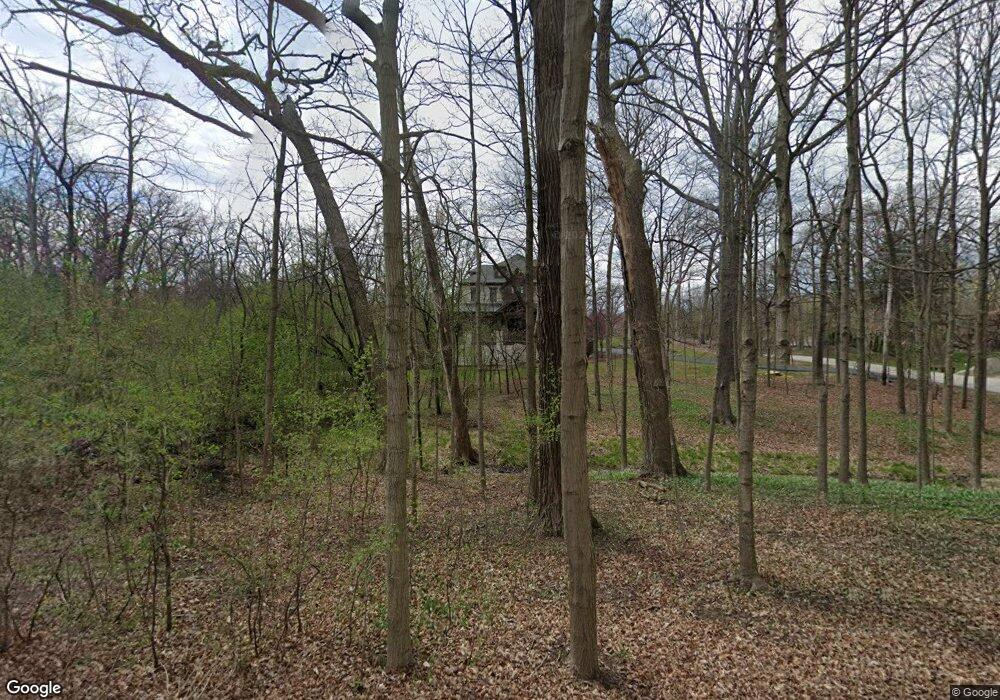
3500 Adams Rd Oak Brook, IL 60523
Estimated Value: $1,725,000 - $3,058,000
--
Bed
--
Bath
4,302
Sq Ft
$573/Sq Ft
Est. Value
About This Home
This home is located at 3500 Adams Rd, Oak Brook, IL 60523 and is currently estimated at $2,463,736, approximately $572 per square foot. 3500 Adams Rd is a home located in DuPage County with nearby schools including Brook Forest Elementary School, Butler Junior High School, and Hinsdale Central High School.
Ownership History
Date
Name
Owned For
Owner Type
Purchase Details
Closed on
Jul 17, 2018
Sold by
Aleen John E
Bought by
Allen Qualified Personal Residence Trust
Current Estimated Value
Purchase Details
Closed on
Nov 18, 2013
Sold by
Firstmerit Bank Na
Bought by
Allen John E and John E Allen Declaration Of Trust
Purchase Details
Closed on
Nov 14, 2012
Sold by
Schwendener Michael S
Bought by
Firstmerit Bank Na
Create a Home Valuation Report for This Property
The Home Valuation Report is an in-depth analysis detailing your home's value as well as a comparison with similar homes in the area
Home Values in the Area
Average Home Value in this Area
Purchase History
| Date | Buyer | Sale Price | Title Company |
|---|---|---|---|
| Allen Qualified Personal Residence Trust | -- | None Available | |
| Allen John E | $1,050,000 | Git | |
| Firstmerit Bank Na | -- | None Available |
Source: Public Records
Tax History Compared to Growth
Tax History
| Year | Tax Paid | Tax Assessment Tax Assessment Total Assessment is a certain percentage of the fair market value that is determined by local assessors to be the total taxable value of land and additions on the property. | Land | Improvement |
|---|---|---|---|---|
| 2024 | $33,709 | $904,288 | $440,346 | $463,942 |
| 2023 | $32,282 | $836,220 | $407,200 | $429,020 |
| 2022 | $30,092 | $803,830 | $391,430 | $412,400 |
| 2021 | $28,758 | $783,840 | $381,700 | $402,140 |
| 2020 | $28,076 | $766,670 | $373,340 | $393,330 |
| 2019 | $30,569 | $839,660 | $354,950 | $484,710 |
| 2018 | $27,708 | $794,830 | $336,000 | $458,830 |
| 2017 | $25,965 | $757,410 | $320,180 | $437,230 |
| 2016 | $24,361 | $301,630 | $301,630 | $0 |
| 2015 | $10,663 | $281,000 | $281,000 | $0 |
| 2014 | $11,287 | $287,470 | $287,470 | $0 |
| 2013 | $11,191 | $291,520 | $291,520 | $0 |
Source: Public Records
Map
Nearby Homes
- 3500 Spring Rd
- 412 Fox Trail Ln
- 9 Natoma Dr
- 14 Templeton Dr
- 3801 Madison St
- 141 Breakenridge Farm
- 401 Glendale Ave
- 401 Birchwood Rd
- 812 Saint Stephens Green
- 420 Oak Brook Rd
- 327 Bonnie Brae Rd
- 3015 Lincoln Rd
- 3504 York Rd
- 3007 Lincoln Rd
- 3420 York Rd
- 3403 York Rd
- 19W078 Normandy Ave N
- 7 Yorkshire Woods (Lot 7) Dr
- 216 Bonnie Brae Rd
- 910 Saint Stephens Green
