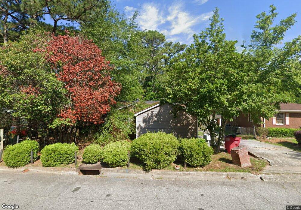
3500 Hollingsworth Rd Macon, GA 31210
Estimated Value: $76,000 - $97,000
2
Beds
1
Bath
977
Sq Ft
$88/Sq Ft
Est. Value
About This Home
This home is located at 3500 Hollingsworth Rd, Macon, GA 31210 and is currently estimated at $85,720, approximately $87 per square foot. 3500 Hollingsworth Rd is a home located in Bibb County with nearby schools including Union Elementary School, Weaver Middle School, and Westside High School.
Ownership History
Date
Name
Owned For
Owner Type
Purchase Details
Closed on
Dec 20, 2019
Sold by
Raines Ilashia
Bought by
A One Real Estate Solutions Inc
Current Estimated Value
Purchase Details
Closed on
Oct 13, 2016
Sold by
James
Bought by
Raines Ilashia
Purchase Details
Closed on
May 31, 2000
Bought by
Jones James I
Create a Home Valuation Report for This Property
The Home Valuation Report is an in-depth analysis detailing your home's value as well as a comparison with similar homes in the area
Home Values in the Area
Average Home Value in this Area
Purchase History
| Date | Buyer | Sale Price | Title Company |
|---|---|---|---|
| A One Real Estate Solutions Inc | $15,000 | None Available | |
| Raines Ilashia | $20,000 | -- | |
| Jones James I | $36,000 | -- |
Source: Public Records
Tax History Compared to Growth
Tax History
| Year | Tax Paid | Tax Assessment Tax Assessment Total Assessment is a certain percentage of the fair market value that is determined by local assessors to be the total taxable value of land and additions on the property. | Land | Improvement |
|---|---|---|---|---|
| 2025 | $514 | $20,907 | $1,800 | $19,107 |
| 2024 | $531 | $20,907 | $1,800 | $19,107 |
| 2023 | $531 | $20,907 | $1,800 | $19,107 |
| 2022 | $552 | $15,932 | $1,836 | $14,096 |
| 2021 | $605 | $15,932 | $1,836 | $14,096 |
| 2020 | $233 | $15,932 | $1,836 | $14,096 |
| 2019 | $624 | $15,932 | $1,836 | $14,096 |
| 2018 | $1,135 | $15,932 | $1,836 | $14,096 |
| 2017 | $300 | $15,932 | $1,836 | $14,096 |
| 2016 | $544 | $15,710 | $1,836 | $13,874 |
| 2015 | $656 | $13,397 | $1,836 | $11,561 |
| 2014 | $252 | $13,397 | $1,836 | $11,561 |
Source: Public Records
Map
Nearby Homes
- 4281 Robinson Ct
- 3581 Hollingsworth Rd
- 4360 Mumford Rd
- 4450 Bluebird Terrace
- 3220 Hollingsworth Rd
- 3782 Robinson Rd
- 1042 Washington St
- 3669 Earl St
- 3491 Bond St W
- 3765 Del Park
- 3846 Log Cabin Dr
- 3565 Log Cabin Dr
- 3584 Log Cabin Dr
- 3515 Log Cabin Dr
- 3483 Napier Ave
- 3679 W Napier Ave
- 3908 Log Cabin Dr
- 3466 Hollingsworth Rd
- 3464 Hollingsworth Rd
- 3498 Hollingsworth Rd
- 3473 Hollingsworth Rd
- 3462 Hollingsworth Rd
- 3469 Hollingsworth Rd
- 3465 Hollingsworth Rd
- 3484 Hollingsworth Rd
- 3461 Hollingsworth Rd
- 4383 Robinson Rd
- 4371 Robinson Rd
- 3485 Hollingsworth Rd
- 3490 Hollingsworth Rd
- 4379 Lexington Ave
- 3489 Hollingsworth Rd
- 4361 Robinson Rd
- 3491 Hollingsworth Rd
- 3496 Hollingsworth Rd
- 3496 Hollingsworth Rd
- 3527 Hollingsworth Rd