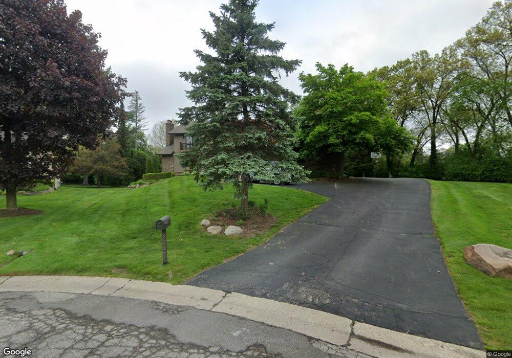
3500 Maxwell Ct Bloomfield Hills, MI 48301
Estimated Value: $1,330,000 - $1,535,000
4
Beds
5
Baths
4,540
Sq Ft
$315/Sq Ft
Est. Value
About This Home
This home is located at 3500 Maxwell Ct, Bloomfield Hills, MI 48301 and is currently estimated at $1,429,646, approximately $314 per square foot. 3500 Maxwell Ct is a home located in Oakland County with nearby schools including Quarton Elementary, Ernest W. Seaholm High School, and Detroit Country Day Lower School.
Ownership History
Date
Name
Owned For
Owner Type
Purchase Details
Closed on
Mar 20, 2024
Sold by
Csernits Brett and Csernits Marina
Bought by
Csernits Brett and Csernits Brett
Current Estimated Value
Purchase Details
Closed on
Mar 19, 2010
Sold by
Basson Dr Marc D and Basson Helene C W
Bought by
Csernits Brett and Csernits Marina
Purchase Details
Closed on
Dec 18, 2000
Sold by
Gramer Gwen L
Bought by
Basson Marc D
Create a Home Valuation Report for This Property
The Home Valuation Report is an in-depth analysis detailing your home's value as well as a comparison with similar homes in the area
Home Values in the Area
Average Home Value in this Area
Purchase History
| Date | Buyer | Sale Price | Title Company |
|---|---|---|---|
| Csernits Brett | -- | None Listed On Document | |
| Csernits Brett | -- | Interstate Title Inc | |
| Basson Marc D | $790,000 | -- |
Source: Public Records
Tax History Compared to Growth
Tax History
| Year | Tax Paid | Tax Assessment Tax Assessment Total Assessment is a certain percentage of the fair market value that is determined by local assessors to be the total taxable value of land and additions on the property. | Land | Improvement |
|---|---|---|---|---|
| 2024 | $7,464 | $549,620 | $0 | $0 |
| 2023 | $7,163 | $561,890 | $0 | $0 |
| 2022 | $12,125 | $516,980 | $0 | $0 |
| 2021 | $12,226 | $542,660 | $0 | $0 |
| 2020 | $6,881 | $557,740 | $0 | $0 |
| 2019 | $12,206 | $519,680 | $0 | $0 |
| 2018 | $12,115 | $546,900 | $0 | $0 |
| 2017 | $12,109 | $533,640 | $0 | $0 |
| 2016 | $12,173 | $506,010 | $0 | $0 |
| 2015 | -- | $466,980 | $0 | $0 |
| 2014 | -- | $407,240 | $0 | $0 |
| 2011 | -- | $265,610 | $0 | $0 |
Source: Public Records
Map
Nearby Homes
- 1287 Charrington Rd
- 1348 Charrington Rd
- 5825 Lahser Rd
- 3546 Bloomfield Club Dr
- 596 Rudgate Rd
- 692 Bennington Dr
- 3320 Morningview Terrace
- 270 Martell Dr
- 2579 Amberly Rd
- 100 Overhill Rd
- 1019 N Cranbrook Rd
- 5741 Snowshoe Cir
- 231 Wadsworth Ln
- 6580 Red Maple Ln
- 6560 Red Maple Ln
- 956 Westwood Dr
- 4650 Lahser Rd
- 3627 Middlebury Ln
- 6727 Lahser Rd
- 1120 Lyonhurst St
- 3501 Maxwell Ct
- 1349 Charrington Rd
- 3522 Maxwell Ct
- 3467 Sutton Place Unit Bldg-Unit
- 3467 Sutton Place
- 3467 Sutton Place
- 3427 Sutton Place
- 1319 Charrington Rd
- 3515 Maxwell Ct
- 3483 Sutton Place
- 3544 Maxwell Ct
- 3525 Maxwell Ct
- 3474 Sutton Place
- 3514 Darcy Dr
- 3500 Darcy Dr
- 3499 Sutton Place
- 3547 Maxwell Ct
- 3574 Maxwell Ct
- 1521 Charrington Rd Unit Bldg-Unit
- 1521 Charrington Rd