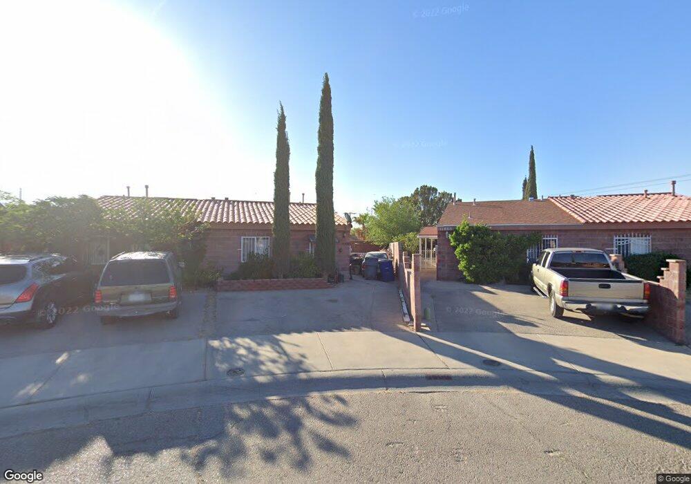
3500 Oasis Dr El Paso, TX 79936
Pebble Hills NeighborhoodEstimated Value: $125,000 - $142,000
2
Beds
1
Bath
760
Sq Ft
$176/Sq Ft
Est. Value
About This Home
This home is located at 3500 Oasis Dr, El Paso, TX 79936 and is currently estimated at $134,117, approximately $176 per square foot. 3500 Oasis Dr is a home located in El Paso County with nearby schools including Pebble Hills Elementary School, J M Hanks High School, and New World Montessori School.
Ownership History
Date
Name
Owned For
Owner Type
Purchase Details
Closed on
Jul 12, 2004
Sold by
National City Mortgage Co
Bought by
Ramos Marco A and Toledo Leticia
Current Estimated Value
Home Financials for this Owner
Home Financials are based on the most recent Mortgage that was taken out on this home.
Original Mortgage
$37,000
Outstanding Balance
$18,533
Interest Rate
6.26%
Mortgage Type
Purchase Money Mortgage
Estimated Equity
$115,584
Purchase Details
Closed on
Sep 2, 2003
Sold by
Preciado Rogelio
Bought by
National City Mortgage Co
Purchase Details
Closed on
Jan 31, 2001
Sold by
Geo Beazer Lp
Bought by
Preciado Rogelio
Home Financials for this Owner
Home Financials are based on the most recent Mortgage that was taken out on this home.
Original Mortgage
$46,212
Interest Rate
7.13%
Mortgage Type
FHA
Create a Home Valuation Report for This Property
The Home Valuation Report is an in-depth analysis detailing your home's value as well as a comparison with similar homes in the area
Home Values in the Area
Average Home Value in this Area
Purchase History
| Date | Buyer | Sale Price | Title Company |
|---|---|---|---|
| Ramos Marco A | -- | -- | |
| National City Mortgage Co | $30,000 | -- | |
| Preciado Rogelio | -- | -- |
Source: Public Records
Mortgage History
| Date | Status | Borrower | Loan Amount |
|---|---|---|---|
| Open | Ramos Marco A | $37,000 | |
| Previous Owner | Preciado Rogelio | $46,212 |
Source: Public Records
Tax History
| Year | Tax Paid | Tax Assessment Tax Assessment Total Assessment is a certain percentage of the fair market value that is determined by local assessors to be the total taxable value of land and additions on the property. | Land | Improvement |
|---|---|---|---|---|
| 2025 | $2,588 | $121,592 | $33,278 | $88,314 |
| 2024 | $2,588 | $94,217 | $12,968 | $81,249 |
| 2023 | $2,608 | $89,599 | $12,968 | $76,631 |
| 2022 | $2,409 | $77,562 | $12,968 | $64,594 |
| 2021 | $2,268 | $69,776 | $12,968 | $56,808 |
| 2020 | $1,012 | $32,046 | $11,029 | $21,017 |
| 2018 | $997 | $32,046 | $11,029 | $21,017 |
| 2017 | $979 | $32,037 | $11,029 | $21,008 |
| 2016 | $979 | $32,037 | $11,029 | $21,008 |
| 2015 | $917 | $32,037 | $11,029 | $21,008 |
| 2014 | $917 | $32,037 | $11,029 | $21,008 |
Source: Public Records
Map
Nearby Homes
- 11062 Oasis Dr
- 3428 Itasca St
- 3332 Mc Lean St
- 3400 Quanah St
- 3321 Hickman St
- 3309 Beachcomber Dr
- 3340 Voss Dr
- 3236 Mc Lean St
- 10905 Sagebrush Way Unit A & B
- 11116 Northfield Ave
- 3317 Wayside St
- 11132 Northfield Ave
- 3216 Beachcomber Dr
- 11273 Ivanhoe Dr
- 3404 Guthrie St
- 3417 Guthrie St
- 3369 Freeport Dr
- 3651 George Dieter Dr
- 11301 Tenaha Ave
- 11254 Montana Ave
- 3502 Oasis Dr
- 11066 Oasis Dr
- 3504 Oasis Dr
- 11064 Oasis Dr
- 3506 Oasis Dr
- 3537 Breckenridge Dr
- 3533 Breckenridge Dr
- 3508 Oasis Dr
- 11060 Oasis Dr
- 3541 Breckenridge Dr
- 3510 Oasis Dr
- 11058 Oasis Dr
- 11059 Oasis Dr
- 11056 Oasis Dr
- 3529 Breckenridge Dr
- 3545 Breckenridge Dr
- 3512 Oasis Dr
- 3512 Oasis Dr
- 3512 Oasis Dr
- 11057 Oasis Dr
Your Personal Tour Guide
Ask me questions while you tour the home.