3500 Sands Ln Murrysville, PA 15668
Estimated Value: $229,855 - $541,000
--
Bed
--
Bath
--
Sq Ft
4.7
Acres
About This Home
This home is located at 3500 Sands Ln, Murrysville, PA 15668 and is currently estimated at $327,464. 3500 Sands Ln is a home located in Westmoreland County with nearby schools including Franklin Regional Senior High School.
Ownership History
Date
Name
Owned For
Owner Type
Purchase Details
Closed on
Jan 25, 2012
Sold by
Barrowcliff Craig A and Barrowcliff Jeffry L
Bought by
Barrowcliff Craig A
Current Estimated Value
Home Financials for this Owner
Home Financials are based on the most recent Mortgage that was taken out on this home.
Original Mortgage
$139,000
Outstanding Balance
$95,412
Interest Rate
3.93%
Mortgage Type
New Conventional
Estimated Equity
$232,052
Purchase Details
Closed on
Dec 27, 2006
Sold by
Mckean Glen R and Heim Mckean Karen
Bought by
Barrowcliff Craig A and Barrowcliff Jeffry L
Home Financials for this Owner
Home Financials are based on the most recent Mortgage that was taken out on this home.
Original Mortgage
$100,000
Interest Rate
7.47%
Mortgage Type
Purchase Money Mortgage
Create a Home Valuation Report for This Property
The Home Valuation Report is an in-depth analysis detailing your home's value as well as a comparison with similar homes in the area
Home Values in the Area
Average Home Value in this Area
Purchase History
| Date | Buyer | Sale Price | Title Company |
|---|---|---|---|
| Barrowcliff Craig A | -- | None Available | |
| Barrowcliff Craig A | $125,000 | None Available |
Source: Public Records
Mortgage History
| Date | Status | Borrower | Loan Amount |
|---|---|---|---|
| Open | Barrowcliff Craig A | $139,000 | |
| Closed | Barrowcliff Craig A | $100,000 |
Source: Public Records
Tax History Compared to Growth
Tax History
| Year | Tax Paid | Tax Assessment Tax Assessment Total Assessment is a certain percentage of the fair market value that is determined by local assessors to be the total taxable value of land and additions on the property. | Land | Improvement |
|---|---|---|---|---|
| 2025 | $2,505 | $16,440 | $1,690 | $14,750 |
| 2024 | $2,448 | $16,440 | $1,690 | $14,750 |
| 2023 | $2,300 | $16,440 | $1,690 | $14,750 |
| 2022 | $2,255 | $16,440 | $1,690 | $14,750 |
| 2021 | $2,205 | $16,440 | $1,690 | $14,750 |
| 2020 | $2,164 | $16,440 | $1,690 | $14,750 |
| 2019 | $2,119 | $16,440 | $1,690 | $14,750 |
| 2018 | $2,082 | $16,440 | $1,690 | $14,750 |
| 2017 | $2,039 | $16,440 | $1,690 | $14,750 |
| 2016 | $1,998 | $16,440 | $1,690 | $14,750 |
| 2015 | $1,998 | $16,440 | $1,690 | $14,750 |
| 2014 | $1,985 | $16,440 | $1,690 | $14,750 |
Source: Public Records
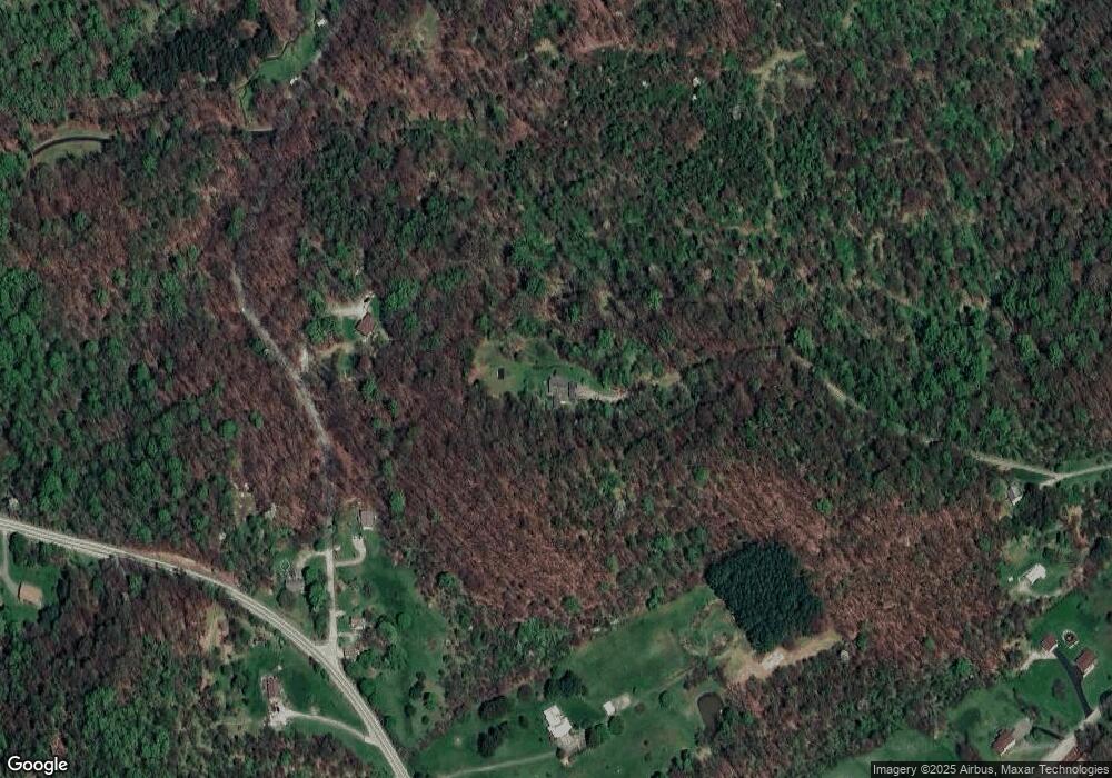
Map
Nearby Homes
- 5306 Saddle Pack Trail
- 474 Exton Lake Rd
- 145 Shelby Ln
- 4306 Michel Ct
- 3513 Lashan Dr
- 3424 Lashan Dr
- 112 Siebert Ln
- 4830 Dargate Ln
- 5150 Mamont Rd
- 4838 Sardis Rd
- Parcel A Beighley Rd
- 5924 Saltsburg Rd
- Lot 1 Sardis Rd
- Lot 2 Sardis Rd
- 3913 Bridgewood Cir
- 4941 Bulltown Rd
- 1749 Washington Rd
- Lot 4 Shag Bark Grove
- 5879 Steele Rd
- 4400 Twin Oaks Dr
- 5237 Saddle Pack Trail
- 5227 Saddle Pack Trail
- 5156 Saltsburg Rd
- 5154 Saltsburg Rd
- 286 Sr Rd
- 5157 Saltsburg Rd
- 5180 Saltsburg Rd
- 5252 Saddle Pack Trail Unit T634
- 5120 Ashbaugh Rd
- 5091 Saltsburg Rd
- 5080 Ashbaugh Rd
- 5104 Ashbaugh Rd
- 5070 Ashbaugh Rd
- 5050 Ashbaugh Rd
- 5281 Saddle Pack Trail
- 5226 Saltsburg Rd
- 5130 Ashbaugh Rd
- 5130 Ashbaugh Rd
- 5301 Saddle Pack Trail
- 5040 Ashbaugh Rd