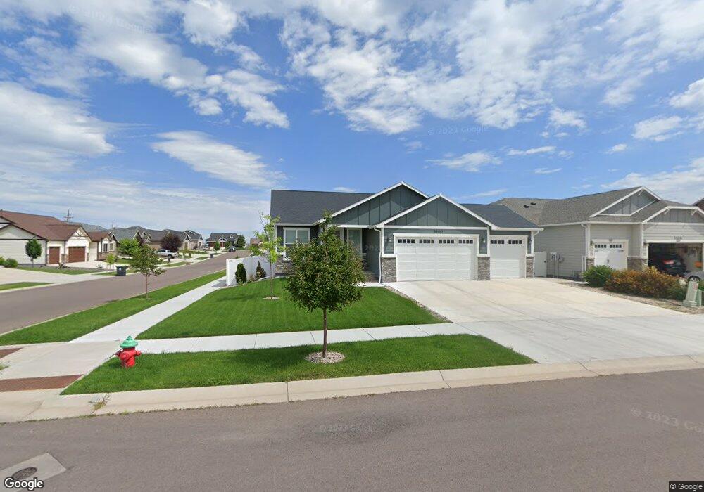
3500 Thomas Rd Cheyenne, WY 82009
Estimated Value: $468,000 - $572,000
3
Beds
2
Baths
1,353
Sq Ft
$378/Sq Ft
Est. Value
About This Home
This home is located at 3500 Thomas Rd, Cheyenne, WY 82009 and is currently estimated at $510,951, approximately $377 per square foot. 3500 Thomas Rd is a home located in Laramie County with nearby schools including Anderson Elementary School, Carey Junior High School, and East High School.
Ownership History
Date
Name
Owned For
Owner Type
Purchase Details
Closed on
Apr 30, 2021
Sold by
Duggan Herbert B and Duggan Sherry A
Bought by
Miller Brenda and Miller Mark
Current Estimated Value
Purchase Details
Closed on
Nov 27, 2019
Sold by
Gateway Construction Llc
Bought by
Duggan Herbert B and Duggan Sherry A
Home Financials for this Owner
Home Financials are based on the most recent Mortgage that was taken out on this home.
Original Mortgage
$75,000
Interest Rate
3.6%
Mortgage Type
New Conventional
Create a Home Valuation Report for This Property
The Home Valuation Report is an in-depth analysis detailing your home's value as well as a comparison with similar homes in the area
Home Values in the Area
Average Home Value in this Area
Purchase History
| Date | Buyer | Sale Price | Title Company |
|---|---|---|---|
| Miller Brenda | -- | First American | |
| Miller Brenda | -- | First American Title | |
| Duggan Herbert B | -- | First American |
Source: Public Records
Mortgage History
| Date | Status | Borrower | Loan Amount |
|---|---|---|---|
| Previous Owner | Duggan Herbert B | $75,000 |
Source: Public Records
Tax History Compared to Growth
Tax History
| Year | Tax Paid | Tax Assessment Tax Assessment Total Assessment is a certain percentage of the fair market value that is determined by local assessors to be the total taxable value of land and additions on the property. | Land | Improvement |
|---|---|---|---|---|
| 2025 | $2,828 | $29,859 | $5,994 | $23,865 |
| 2024 | $2,828 | $39,999 | $7,992 | $32,007 |
| 2023 | $2,823 | $39,926 | $7,992 | $31,934 |
| 2022 | $2,607 | $36,118 | $7,307 | $28,811 |
| 2021 | $2,351 | $32,504 | $6,929 | $25,575 |
| 2020 | $2,261 | $31,339 | $6,929 | $24,410 |
| 2019 | $487 | $6,743 | $6,743 | $0 |
| 2018 | $298 | $4,161 | $4,161 | $0 |
| 2017 | $269 | $3,733 | $3,733 | $0 |
| 2016 | $238 | $3,301 | $3,301 | $0 |
Source: Public Records
Map
Nearby Homes
- 5618 Dayton Dr
- 3707 Harvey St
- 3310 Thomas Rd
- 3603 Storey Blvd
- 3728 Sunrise Hills Dr
- 3732 Sunrise Hills Dr
- 5246 Danielle Ct
- 5260 Shadow Rock Dr
- 3117 Holland Ct
- 3014 Smith Place
- 5208 Danielle Ct
- 3117 Douglas St
- 5502 Canyon Rd
- 5402 Hilltop Ave
- TBD Welchester Dr
- 3315 Dean Paul Dr
- 5620 Blue Bluff
- 5034 Hilltop Ave
- 3716 Everton Dr
- 5021 Sagebrush Ave
- Lot 4 Dayton Dr
- 3506 Thomas Rd
- 3501 Sowell St
- 3507 Sowell St
- 3512 Thomas Rd
- 5700 Dayton Dr
- 5706 Dayton Dr
- 3515 Sowell St
- Lot 2 Thomas Rd
- 3501 Thomas Rd
- 5712 Dayton Dr
- 3507 Thomas Rd
- Lot 3 Thomas Rd
- 3518 Thomas Rd
- 5618 Dayton Dr
- 3515 Thomas Rd
- 5718 Dayton Dr Dayton Rd
- 5718 Dayton Dr
- 3500 Sowell St
- 3506 Sowell St