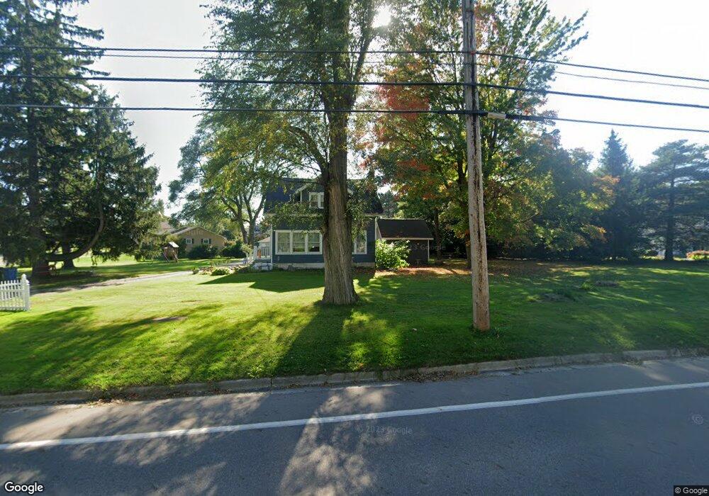
3501 Delta River Dr Lansing, MI 48906
Northwestside NeighborhoodEstimated Value: $211,223 - $242,000
3
Beds
3
Baths
1,438
Sq Ft
$160/Sq Ft
Est. Value
About This Home
This home is located at 3501 Delta River Dr, Lansing, MI 48906 and is currently estimated at $230,556, approximately $160 per square foot. 3501 Delta River Dr is a home located in Ingham County with nearby schools including Cumberland Elementary School, Pattengill Academy, and J.W. Sexton High School.
Ownership History
Date
Name
Owned For
Owner Type
Purchase Details
Closed on
Jun 24, 2007
Sold by
Park Scott G and Park Elizabeth A
Bought by
Swain John L and Swain Julie K
Current Estimated Value
Home Financials for this Owner
Home Financials are based on the most recent Mortgage that was taken out on this home.
Original Mortgage
$139,900
Outstanding Balance
$88,213
Interest Rate
6.76%
Mortgage Type
Second Mortgage Made To Cover Down Payment
Estimated Equity
$142,343
Create a Home Valuation Report for This Property
The Home Valuation Report is an in-depth analysis detailing your home's value as well as a comparison with similar homes in the area
Home Values in the Area
Average Home Value in this Area
Purchase History
| Date | Buyer | Sale Price | Title Company |
|---|---|---|---|
| Swain John L | $139,900 | None Available |
Source: Public Records
Mortgage History
| Date | Status | Borrower | Loan Amount |
|---|---|---|---|
| Open | Swain John L | $139,900 |
Source: Public Records
Tax History
| Year | Tax Paid | Tax Assessment Tax Assessment Total Assessment is a certain percentage of the fair market value that is determined by local assessors to be the total taxable value of land and additions on the property. | Land | Improvement |
|---|---|---|---|---|
| 2025 | $3,038 | $110,400 | $39,100 | $71,300 |
| 2024 | $24 | $98,100 | $39,100 | $59,000 |
| 2023 | $2,848 | $88,300 | $39,100 | $49,200 |
| 2022 | $2,568 | $71,700 | $27,600 | $44,100 |
| 2021 | $2,514 | $58,800 | $12,600 | $46,200 |
| 2020 | $2,499 | $51,400 | $12,600 | $38,800 |
| 2019 | $2,395 | $48,000 | $12,600 | $35,400 |
| 2018 | $2,245 | $45,800 | $12,600 | $33,200 |
| 2017 | $2,149 | $45,800 | $12,600 | $33,200 |
| 2016 | $2,340 | $40,300 | $12,600 | $27,700 |
| 2015 | $2,340 | $37,000 | $25,158 | $11,842 |
| 2014 | $2,340 | $41,700 | $0 | $0 |
Source: Public Records
Map
Nearby Homes
- 2601 Newport Dr
- 3500 Colchester Rd
- 2519 Byrnes Rd
- 2313 Kuerbitz Dr
- 3017 Alfred Ave
- 3733 Colchester Rd
- 3116 Colchester Rd
- 3230 Sheffer Ave
- 2300 Byrnes Rd
- 3304 Sheffer Ave
- 2302 Northwest Ave
- 3336 Tecumseh River Rd
- 4221 N Grand River Ave
- 1805 Boynton Dr
- 4005 N Grand River Ave
- 2800 Tecumseh River Rd
- 2209 Barstow Rd
- 1930 Briarwood Dr
- 3723 Springbrook Ln
- 2111 Delta River Dr
- 2627 Newport Dr
- 3521 Delta River Dr
- 2634 Newport Dr
- 2619 Newport Dr
- 2626 Newport Dr
- 2720 Meadowlane Dr
- 3508 Delta River Dr
- 3430 Delta River Dr
- 2614 Newport Dr
- 2611 Newport Dr
- 3422 Delta River Dr
- 2616 Wyckham Dr
- 3415 Delta River Dr
- 3518 Delta River Dr
- 2624 Wyckham Dr
- 2610 Newport Dr
- 3414 Sunnylane
- 3532 Delta River Dr
- 2632 Wyckham Dr
Your Personal Tour Guide
Ask me questions while you tour the home.