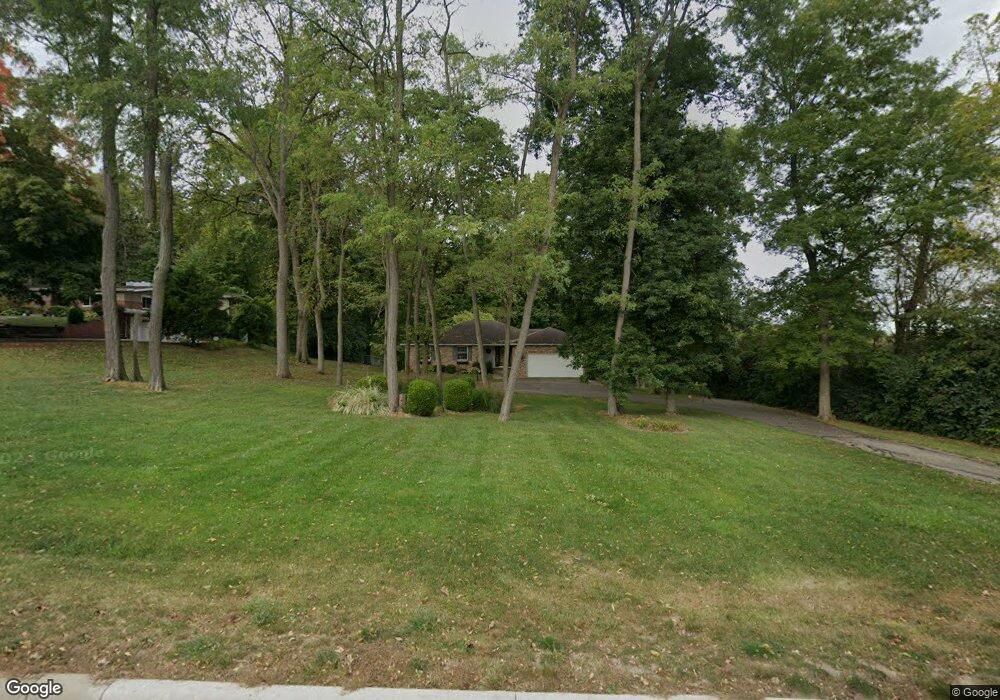
3501 Derr Rd Springfield, OH 45503
Estimated Value: $315,000 - $414,000
3
Beds
2
Baths
1,840
Sq Ft
$192/Sq Ft
Est. Value
About This Home
This home is located at 3501 Derr Rd, Springfield, OH 45503 and is currently estimated at $353,607, approximately $192 per square foot. 3501 Derr Rd is a home located in Clark County with nearby schools including Northridge Elementary School, Kenton Ridge Middle & High School, and Emmanuel Christian Academy.
Ownership History
Date
Name
Owned For
Owner Type
Purchase Details
Closed on
Oct 29, 2013
Sold by
Barker Hughby Frank and Barker Dorothy Elaine
Bought by
Nortridge United Methodist Church
Current Estimated Value
Purchase Details
Closed on
Jun 23, 1997
Sold by
Grubbs Charles A
Bought by
Howat Robert V and Howat Marilyn L
Home Financials for this Owner
Home Financials are based on the most recent Mortgage that was taken out on this home.
Original Mortgage
$131,000
Interest Rate
6.88%
Mortgage Type
New Conventional
Create a Home Valuation Report for This Property
The Home Valuation Report is an in-depth analysis detailing your home's value as well as a comparison with similar homes in the area
Home Values in the Area
Average Home Value in this Area
Purchase History
| Date | Buyer | Sale Price | Title Company |
|---|---|---|---|
| Nortridge United Methodist Church | $175,000 | Real Living Title | |
| Howat Robert V | $150,000 | -- |
Source: Public Records
Mortgage History
| Date | Status | Borrower | Loan Amount |
|---|---|---|---|
| Previous Owner | Howat Robert V | $131,000 |
Source: Public Records
Tax History
| Year | Tax Paid | Tax Assessment Tax Assessment Total Assessment is a certain percentage of the fair market value that is determined by local assessors to be the total taxable value of land and additions on the property. | Land | Improvement |
|---|---|---|---|---|
| 2025 | $4,005 | $100,300 | $18,000 | $82,300 |
| 2024 | $3,876 | $89,620 | $17,610 | $72,010 |
| 2023 | $3,876 | $89,620 | $17,610 | $72,010 |
| 2022 | $3,348 | $89,620 | $17,610 | $72,010 |
| 2021 | $3,348 | $65,360 | $13,980 | $51,380 |
| 2020 | $3,351 | $65,360 | $13,980 | $51,380 |
| 2019 | $3,415 | $65,360 | $13,980 | $51,380 |
| 2018 | $2,878 | $52,840 | $12,700 | $40,140 |
| 2017 | $2,477 | $49,151 | $12,698 | $36,453 |
| 2016 | $2,460 | $49,151 | $12,698 | $36,453 |
| 2015 | $2,503 | $49,151 | $12,698 | $36,453 |
| 2014 | $2,441 | $49,151 | $12,698 | $36,453 |
| 2013 | $1,983 | $49,151 | $12,698 | $36,453 |
Source: Public Records
Map
Nearby Homes
- 1136 Foxboro Rd Unit 202
- 1139 Bradford Dr
- 1201 Kingsgate Rd
- 3052 Brixton Dr E
- 1039 Bradford Dr Unit 42
- 3631 Kingsgate Ln
- 1500 Kingsgate Rd Unit 19430
- 1502 Kingsgate Rd Unit 19432
- 1500 Kingsgate Rd
- 1502 Kingsgate Rd
- 615 Villa Rd Unit B
- 1503 Kingsgate Rd
- 1505 Kingsgate Rd
- 1507 Kingsgate Rd
- 3135 Imperial Blvd
- 1415 Montego Dr
- 3124 El Camino Dr
- 732 Grandview Dr Unit 732
- 3211 Haverhill St
- 1525 Providence Ave
- 3435 Derr Rd
- 3421 Derr Rd
- 3448 Derr Rd
- 3440 Derr Rd
- 3516 Derr Rd
- 3405 Derr Rd
- 3534 Derr Rd
- 3345 Derr Rd
- 3400 Derr Rd
- 3111 Brixton Dr W
- 1131 Scanlon Ln
- 1117 Scanlon Ln
- 3107 Brixton Dr W
- 3107 Brixton Dr W Unit 114
- 3115 Brixton Dr W
- 3115 Brixton Dr W
- 3103 Brixton Dr W Unit 115
- 1155 Scanlon Ln
- 3099 Brixton Dr W
- 3099 Brixton Dr W Unit 116
Your Personal Tour Guide
Ask me questions while you tour the home.