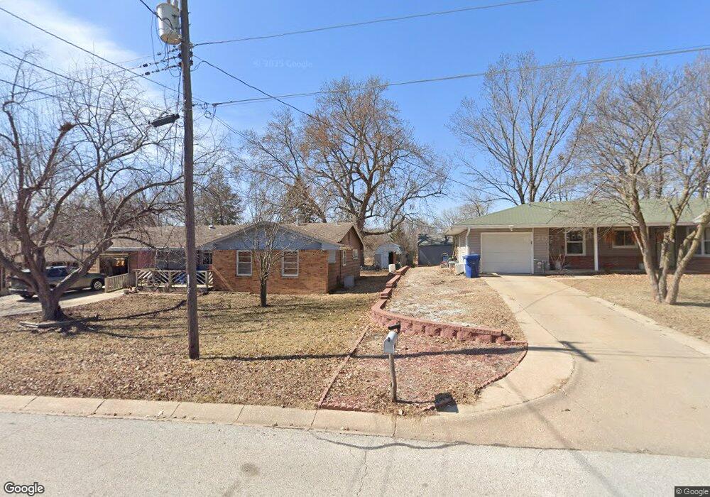
3501 NW Michael St Lincoln, NE 68524
Arnold Heights NeighborhoodEstimated Value: $199,000 - $226,000
3
Beds
1
Bath
1,650
Sq Ft
$129/Sq Ft
Est. Value
About This Home
This home is located at 3501 NW Michael St, Lincoln, NE 68524 and is currently estimated at $213,256, approximately $129 per square foot. 3501 NW Michael St is a home located in Lancaster County with nearby schools including Arnold Elementary School, Schoo Middle School, and North Star High School.
Ownership History
Date
Name
Owned For
Owner Type
Purchase Details
Closed on
Sep 20, 2000
Sold by
Helton Linda L
Bought by
Smith Loren H
Current Estimated Value
Home Financials for this Owner
Home Financials are based on the most recent Mortgage that was taken out on this home.
Original Mortgage
$81,050
Outstanding Balance
$29,351
Interest Rate
8.01%
Mortgage Type
VA
Estimated Equity
$183,905
Create a Home Valuation Report for This Property
The Home Valuation Report is an in-depth analysis detailing your home's value as well as a comparison with similar homes in the area
Home Values in the Area
Average Home Value in this Area
Purchase History
| Date | Buyer | Sale Price | Title Company |
|---|---|---|---|
| Smith Loren H | $80,000 | -- |
Source: Public Records
Mortgage History
| Date | Status | Borrower | Loan Amount |
|---|---|---|---|
| Open | Smith Loren H | $81,050 |
Source: Public Records
Tax History Compared to Growth
Tax History
| Year | Tax Paid | Tax Assessment Tax Assessment Total Assessment is a certain percentage of the fair market value that is determined by local assessors to be the total taxable value of land and additions on the property. | Land | Improvement |
|---|---|---|---|---|
| 2025 | $2,197 | $144,900 | $44,000 | $100,900 |
| 2024 | $2,197 | $156,900 | $33,000 | $123,900 |
| 2023 | $2,447 | $146,000 | $33,000 | $113,000 |
| 2022 | $2,364 | $118,600 | $27,500 | $91,100 |
| 2021 | $2,236 | $118,600 | $27,500 | $91,100 |
| 2020 | $1,431 | $74,900 | $27,500 | $47,400 |
| 2019 | $1,431 | $74,900 | $27,500 | $47,400 |
| 2018 | $2,031 | $105,800 | $27,500 | $78,300 |
| 2017 | $2,050 | $105,800 | $27,500 | $78,300 |
| 2016 | $1,912 | $98,200 | $27,500 | $70,700 |
| 2015 | $1,899 | $98,200 | $27,500 | $70,700 |
| 2014 | $2,112 | $108,600 | $27,500 | $81,100 |
| 2013 | -- | $108,600 | $27,500 | $81,100 |
Source: Public Records
Map
Nearby Homes
- 5421 W Benton St
- 5401 W Benton St
- 3811 Castle Cir
- 4930 W Kingsley St
- 4806 W Mathis St
- 2909 NW 56 St
- 3724 NW 49th St
- 4121 NW 57th Ct
- 5407 W Butler Ave
- 4940 W Madison Ave
- 5411 Wilkins Cir
- 4135 W Huntington Ave
- 5239 W Partridge Ln
- 5171 W Partridge Ln
- 2100 NW 45th St
- 5041 W Partridge Ln
- 1722 NW 55th St
- 4137 W Thatcher Ln
- 1821 NW Faesy Place
- 1601 NW 52nd St
- 3421 NW Michael St
- 3511 NW Michael St
- 3506 NW Michael St
- 3521 NW Michael St
- 3500 NW Michael St
- 3500 -06 Nw Michael St
- 3418 NW Michael St
- 3412 NW Michael St
- 3516 NW Michael St
- 3531 NW Michael St
- 3401 NW Michael St
- 3406 NW Michael St
- 3400 NW Michael St
- 3600 NW Michael St
- 3541 NW Michael St
- 3333 NW Michael St
- 3610 NW Michael St
- 5442 W Hughes St
- 3601 NW Michael St
- 5411 W Benton St