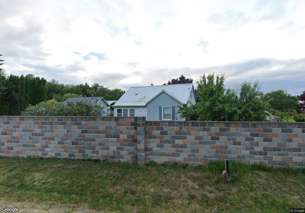
35019 Santiam Hwy Lebanon, OR 97355
Estimated Value: $556,558 - $760,000
3
Beds
2
Baths
1,613
Sq Ft
$408/Sq Ft
Est. Value
About This Home
This home is located at 35019 Santiam Hwy, Lebanon, OR 97355 and is currently estimated at $658,279, approximately $408 per square foot. 35019 Santiam Hwy is a home located in Linn County with nearby schools including Pioneer School and Lebanon High School.
Ownership History
Date
Name
Owned For
Owner Type
Purchase Details
Closed on
Jun 11, 2009
Sold by
Romanowski John M and Romanowski Kathy L
Bought by
Roadifer Dean M and Roadifer Deana F
Current Estimated Value
Purchase Details
Closed on
May 18, 2005
Sold by
Willis Walter C and Willis Catherine I
Bought by
Romanowski John M and Romanowski Kathy L
Home Financials for this Owner
Home Financials are based on the most recent Mortgage that was taken out on this home.
Original Mortgage
$183,000
Interest Rate
5.45%
Mortgage Type
Fannie Mae Freddie Mac
Create a Home Valuation Report for This Property
The Home Valuation Report is an in-depth analysis detailing your home's value as well as a comparison with similar homes in the area
Home Values in the Area
Average Home Value in this Area
Purchase History
| Date | Buyer | Sale Price | Title Company |
|---|---|---|---|
| Roadifer Dean M | $280,000 | Fidelity Natl Title Co Of Or | |
| Romanowski John M | $229,000 | Fidelity Natl Title Ins Co |
Source: Public Records
Mortgage History
| Date | Status | Borrower | Loan Amount |
|---|---|---|---|
| Previous Owner | Romanowski John M | $183,000 |
Source: Public Records
Tax History Compared to Growth
Tax History
| Year | Tax Paid | Tax Assessment Tax Assessment Total Assessment is a certain percentage of the fair market value that is determined by local assessors to be the total taxable value of land and additions on the property. | Land | Improvement |
|---|---|---|---|---|
| 2025 | $2,424 | $163,605 | -- | -- |
| 2024 | $2,376 | $159,890 | -- | -- |
| 2023 | $2,322 | $156,279 | $0 | $0 |
| 2022 | $2,289 | $152,773 | $0 | $0 |
| 2021 | $2,207 | $149,370 | $0 | $0 |
| 2020 | $2,177 | $146,072 | $0 | $0 |
| 2019 | $2,137 | $142,868 | $0 | $0 |
| 2018 | $2,087 | $138,958 | $0 | $0 |
| 2017 | $2,043 | $135,042 | $0 | $0 |
| 2016 | $2,010 | $132,109 | $0 | $0 |
| 2015 | $1,905 | $128,380 | $0 | $0 |
| 2014 | $1,904 | $124,764 | $0 | $0 |
Source: Public Records
Map
Nearby Homes
- 35853 Tennessee Rd SE
- 34117 Santiam Hwy
- 36162 Railroad St
- 36162 S Railroad St
- 35628 Knox Butte Rd E
- 33510 Millview Way
- 37425 Hungry Hill Rd
- 34965 Brewster Rd
- 35309 Highway 20 SE
- 37295 Cemetery (Next To) Rd
- 33788 Brewster Rd
- 515 W Mary St
- 91 W Mary St
- 537 W Morton St
- 180 Eaton St
- 650 Tangent St
- 59 Eaton St
- 160 Tangent St
- 35 S Main St
- 415 S 9th St
- 35039 Santiam Hwy
- 34953 Santiam Hwy
- 34980 Santiam Hwy
- 34949 Santiam Hwy
- 35027 Santiam Hwy
- 35027 Santiam Hwy
- 34956 Santiam Hwy
- 35081 Santiam Hwy
- 36700 Honey Sign Dr
- 36650 Honey Sign Dr
- 35108 Santiam Hwy
- 35114 Santiam Hwy
- 34900 Santiam Hwy
- 36766 Honey Sign Dr
- 36792 Honey Sign Dr SE
- 34893 Santiam Hwy
- 36789 Honey Sign Dr
- 34881 Santiam (-34893) Hwy
- 36802 Honey Sign Dr
- 34881 Santiam Hwy