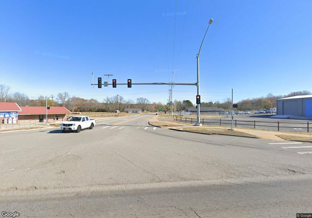
3502 Highway 285 Bee Branch, AR 72013
Estimated Value: $97,000 - $265,000
--
Bed
2
Baths
1,444
Sq Ft
$115/Sq Ft
Est. Value
About This Home
This home is located at 3502 Highway 285, Bee Branch, AR 72013 and is currently estimated at $166,632, approximately $115 per square foot. 3502 Highway 285 is a home located in Van Buren County with nearby schools including South Side Elementary School and South Side High School.
Ownership History
Date
Name
Owned For
Owner Type
Purchase Details
Closed on
Nov 25, 2015
Sold by
Secretary Of Hud
Bought by
Stortz Keira
Current Estimated Value
Purchase Details
Closed on
May 13, 2015
Sold by
Citimortgage Inc
Bought by
The Secretary Of Hud
Purchase Details
Closed on
May 15, 2009
Sold by
Cedar Spring Farms Inc
Bought by
Chadwick Dennis A
Home Financials for this Owner
Home Financials are based on the most recent Mortgage that was taken out on this home.
Original Mortgage
$106,043
Interest Rate
4.76%
Mortgage Type
FHA
Purchase Details
Closed on
Mar 12, 2002
Bought by
Cedar Springs
Purchase Details
Closed on
Mar 16, 1999
Bought by
Farms C S and 75 Ac
Purchase Details
Closed on
Jul 31, 1998
Bought by
Randy
Create a Home Valuation Report for This Property
The Home Valuation Report is an in-depth analysis detailing your home's value as well as a comparison with similar homes in the area
Home Values in the Area
Average Home Value in this Area
Purchase History
| Date | Buyer | Sale Price | Title Company |
|---|---|---|---|
| Stortz Keira | $39,000 | Faulkner County Title Co | |
| The Secretary Of Hud | -- | None Available | |
| Chadwick Dennis A | $108,000 | None Available | |
| Cedar Springs | $39,000 | -- | |
| Farms C S | -- | -- | |
| Randy | -- | -- |
Source: Public Records
Mortgage History
| Date | Status | Borrower | Loan Amount |
|---|---|---|---|
| Previous Owner | Chadwick Dennis A | $106,043 |
Source: Public Records
Tax History Compared to Growth
Tax History
| Year | Tax Paid | Tax Assessment Tax Assessment Total Assessment is a certain percentage of the fair market value that is determined by local assessors to be the total taxable value of land and additions on the property. | Land | Improvement |
|---|---|---|---|---|
| 2024 | $465 | $19,940 | $860 | $19,080 |
| 2023 | $540 | $19,940 | $860 | $19,080 |
| 2022 | $590 | $19,940 | $860 | $19,080 |
| 2021 | $556 | $19,940 | $860 | $19,080 |
| 2020 | $516 | $19,940 | $860 | $19,080 |
| 2019 | $476 | $17,460 | $860 | $16,600 |
| 2018 | $501 | $17,460 | $860 | $16,600 |
| 2017 | $794 | $17,460 | $860 | $16,600 |
| 2015 | -- | $18,890 | $860 | $18,030 |
| 2014 | -- | $18,890 | $860 | $18,030 |
| 2013 | -- | $18,890 | $860 | $18,030 |
Source: Public Records
Map
Nearby Homes
- 7488 Highway 92 W
- 990 Mahan Dr
- 27 Highway 124 W
- 10 Leonard Loop
- 18 Arkansas 124
- 9 Cherokee Rd
- 17225 Highway 65 S
- 284 Highway 124 W
- 24 Mahan Ln N
- 104 Cove Chapel Rd
- 247 Solomon Grove Rd
- 00 Catholic Point Rd
- 1526 U S 65
- 188 Batesville Mountain Rd
- 250 Bluegrass Rd
- Tract 6 Harmony Mountain Rd
- Tract 10 Harmony Mountain Rd
- Tract 2 Harmony Mountain Rd
- Tract 5 Harmony Mountain Rd
- Tract 1 Harmony Mountain Rd
- 3502 Hwy 285
- 128 Inlet Rd
- 3230 Highway 285
- 3225 Highway 285
- 3060 Highway 285
- 3874 Highway 285
- 134 Silver Maple Rd
- 4099 Highway 285
- 2651 Highway 285
- 00 Silver Maple Rd
- 0 Hwy 285 Unit 15018769
- 0 Hwy 285 Unit 17033390
- 112 Silver Maple Rd
- 3974 Highway 285
- 7205 Highway 92 W
- 00 Inlet Rd
- 000 Inlet Rd
- 2583 Highway 285
- 4177 Highway 285
- 240 Rabbit Ridge
