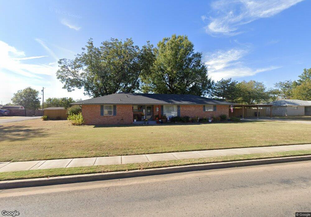
3502 N Union Ave Shawnee, OK 74804
Estimated Value: $207,316 - $222,000
3
Beds
2
Baths
2,090
Sq Ft
$104/Sq Ft
Est. Value
About This Home
This home is located at 3502 N Union Ave, Shawnee, OK 74804 and is currently estimated at $216,329, approximately $103 per square foot. 3502 N Union Ave is a home located in Pottawatomie County with nearby schools including Will Rogers Elementary School, Shawnee Middle School, and Shawnee High School.
Ownership History
Date
Name
Owned For
Owner Type
Purchase Details
Closed on
Apr 17, 2019
Sold by
Bowlan Gregory Brent and Bowlan Susan R
Bought by
Bowlan Gregory Brent and Bowlan Susan R
Current Estimated Value
Purchase Details
Closed on
Apr 16, 2019
Sold by
Bowlan Kenton R and Bowlan Deborah A
Bought by
Bowlan Gregory Brent
Purchase Details
Closed on
May 14, 1996
Sold by
Nicely Merel and Nicely Elva
Bought by
Bowlan Brent and Bowlan Susan
Create a Home Valuation Report for This Property
The Home Valuation Report is an in-depth analysis detailing your home's value as well as a comparison with similar homes in the area
Purchase History
| Date | Buyer | Sale Price | Title Company |
|---|---|---|---|
| Bowlan Gregory Brent | -- | None Available | |
| Bowlan Gregory Brent | -- | None Available | |
| Bowlan Brent | $82,000 | -- |
Source: Public Records
Tax History
| Year | Tax Paid | Tax Assessment Tax Assessment Total Assessment is a certain percentage of the fair market value that is determined by local assessors to be the total taxable value of land and additions on the property. | Land | Improvement |
|---|---|---|---|---|
| 2025 | $953 | $10,561 | $1,110 | $9,451 |
| 2023 | $936 | $9,955 | $1,068 | $8,887 |
| 2022 | $889 | $9,665 | $1,034 | $8,631 |
| 2021 | $845 | $9,665 | $1,034 | $8,631 |
| 2020 | $820 | $9,111 | $969 | $8,142 |
| 2019 | $819 | $8,846 | $925 | $7,921 |
| 2018 | $776 | $8,588 | $889 | $7,699 |
| 2017 | $740 | $8,338 | $822 | $7,516 |
| 2016 | $724 | $8,095 | $794 | $7,301 |
| 2015 | $686 | $7,859 | $748 | $7,111 |
| 2014 | $663 | $7,630 | $1,010 | $6,620 |
Source: Public Records
Map
Nearby Homes
- 3003 N Bell Ave
- 3306 N Oklahoma Ave
- 3406 N Market Ave
- 2415 N Minnesota Cir
- 216 W Georgia St
- 2304 N Tucker Ave
- 404 E Franklin St
- 1204 Cambridge Dr
- 701 W 39th St
- 312 Traditional Way Ct
- 1921 N Bell Ave
- 3904 Northridge Rd
- 3906 Northridge Rd
- 3913 Northridge Rd
- 4002 N Chapman Ave
- 3917 Northridge Rd
- 3900 Northridge Dr
- 3930 Maple Grove Ave
- 3912 Northridge Rd
- 3902 Northridge Dr
- 3316 N Union Ave
- 3509 N Union Ave
- 102 E 34th St
- 3510 N Union Ave
- 3313 N Union Ave
- 3315 N Union Ave
- 3515 N Union Ave
- 3506 N Union Ave
- 3310 N Union Ave
- 3507 N Union Ave
- 3005 N Bell Ave
- 2929 N Bell Ave
- 3308 N Union Ave
- 3007 N Bell Ave
- 2901 N Bell Ave
- 3601 N Union Ave
- 3512 N Union Ave
- 2930 N Bell Ave
- 3900 N Union Ave
- 3011 N Bell Ave
Your Personal Tour Guide
Ask me questions while you tour the home.