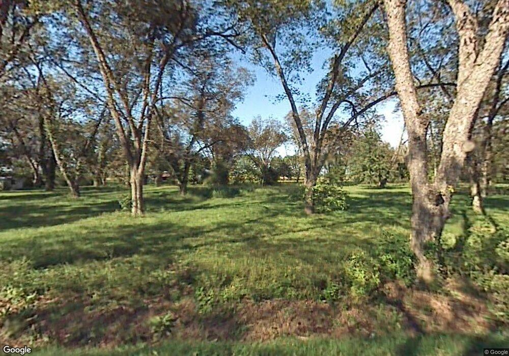
3503 Mobile St Pine Bluff, AR 71601
Estimated Value: $207,000 - $361,456
Studio
--
Bath
3,274
Sq Ft
$91/Sq Ft
Est. Value
About This Home
This home is located at 3503 Mobile St, Pine Bluff, AR 71601 and is currently estimated at $297,152, approximately $90 per square foot. 3503 Mobile St is a home with nearby schools including Matthews Elementary School, Dollarway High School, and Hope Academy.
Ownership History
Date
Name
Owned For
Owner Type
Purchase Details
Closed on
Aug 18, 2014
Sold by
John Edward John Edward and Berry Kirsten Monique
Bought by
Berry Kirsten M
Current Estimated Value
Home Financials for this Owner
Home Financials are based on the most recent Mortgage that was taken out on this home.
Original Mortgage
$200,000
Interest Rate
4.17%
Mortgage Type
New Conventional
Purchase Details
Closed on
Oct 9, 1985
Bought by
Osborn Jack Keith
Create a Home Valuation Report for This Property
The Home Valuation Report is an in-depth analysis detailing your home's value as well as a comparison with similar homes in the area
Purchase History
| Date | Buyer | Sale Price | Title Company |
|---|---|---|---|
| Berry Kirsten M | -- | -- | |
| Osborn Jack Keith | -- | -- |
Source: Public Records
Mortgage History
| Date | Status | Borrower | Loan Amount |
|---|---|---|---|
| Closed | Berry Kirsten M | $200,000 |
Source: Public Records
Tax History
| Year | Tax Paid | Tax Assessment Tax Assessment Total Assessment is a certain percentage of the fair market value that is determined by local assessors to be the total taxable value of land and additions on the property. | Land | Improvement |
|---|---|---|---|---|
| 2025 | $3,572 | $53,080 | $2,590 | $50,490 |
| 2024 | $3,574 | $53,080 | $2,590 | $50,490 |
| 2023 | $3,574 | $53,080 | $2,590 | $50,490 |
| 2022 | $3,291 | $53,650 | $1,640 | $52,010 |
| 2021 | $3,291 | $53,650 | $1,640 | $52,010 |
| 2020 | $3,073 | $53,650 | $1,640 | $52,010 |
| 2019 | $2,837 | $53,650 | $1,640 | $52,010 |
| 2018 | $2,599 | $53,650 | $1,640 | $52,010 |
| 2017 | $2,365 | $38,540 | $1,640 | $36,900 |
| 2016 | $2,293 | $1,640 | $1,640 | $0 |
| 2015 | -- | $1,640 | $1,640 | $0 |
| 2014 | -- | $1,640 | $1,640 | $0 |
Source: Public Records
Map
Nearby Homes
- Tract G Osborn Rd
- Tract C Osborn Rd
- Tract B Osborn Rd
- 00 Osborn Rd
- Tract F Osborn Rd
- 3705 Mobile St
- 3407 U S 65
- 4300 S Hwy 65
- 2608 Belair Dr S
- 2713 Claremont Ave
- 1503 Collins Dr
- 1401 Ashley Dr
- 0 U S 79
- 1309 Bailey Dr
- 1300 Avondale Dr
- 1902 E 38th Ave
- 000 E 38th Ave
- 1302 Boston Dr
- 000 S 65 Hwy
- 00 NE Corner Hwy 65 425-81
- 3505 Mobile St
- 3508 Mobile St
- 501 Osborn Rd
- 505 Osborn Rd
- 407 Osborn Rd
- 3601 Mobile St
- 3603 Mobile St
- 0 Mobile St Unit 25037953
- 0 Mobile St Unit 16017963
- 3602 Mobile St
- 3604 Mobile St
- 3811 Hwy 65 S
- 3811 Highway 65 S
- 3607 Mobile St
- 3621 Highway 65 S
- 406 Green Meadows Dr
- 3625 Highway 65 S
- 3625 Hwy 65 S
- 506 Green Meadows Dr
- 410 Green Meadows Dr
