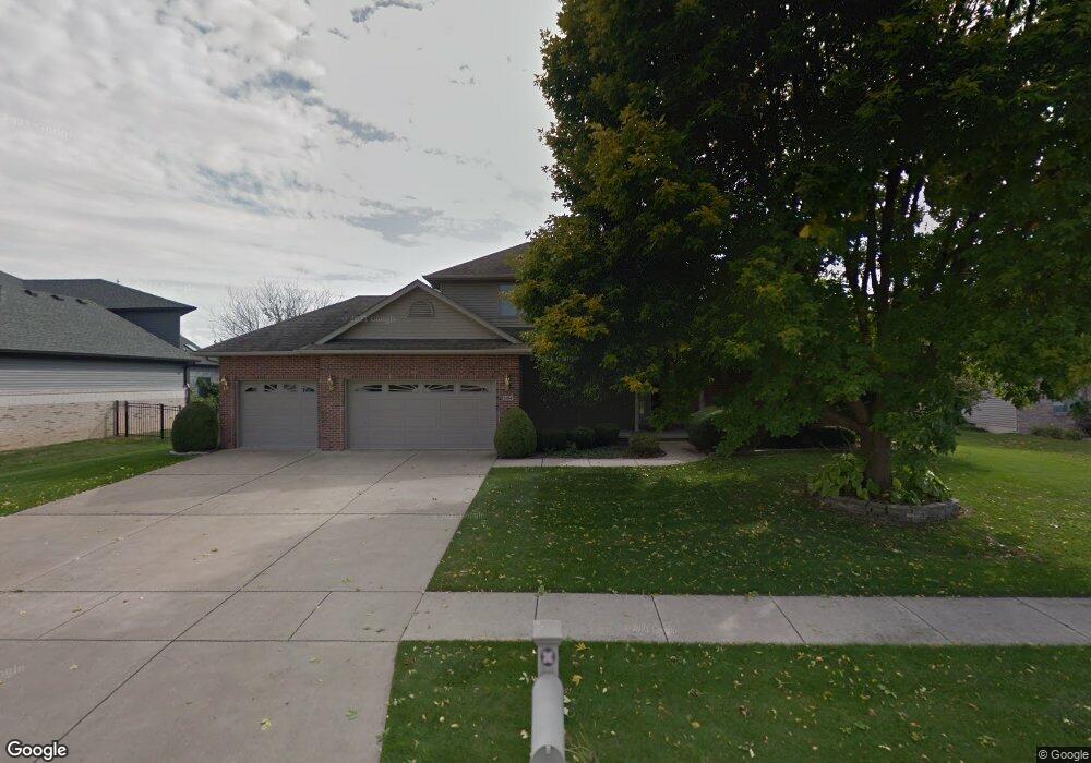
3504 Sundance Dr Springfield, IL 62711
Estimated Value: $467,000 - $513,000
4
Beds
4
Baths
4,005
Sq Ft
$121/Sq Ft
Est. Value
About This Home
This home is located at 3504 Sundance Dr, Springfield, IL 62711 and is currently estimated at $483,870, approximately $120 per square foot. 3504 Sundance Dr is a home located in Sangamon County with nearby schools including Chatham Elementary School, Glenwood Middle School, and Glenwood Intermediate School.
Ownership History
Date
Name
Owned For
Owner Type
Purchase Details
Closed on
Jul 18, 2008
Current Estimated Value
Purchase Details
Closed on
Jun 10, 2002
Purchase Details
Closed on
May 31, 2002
Purchase Details
Closed on
Jul 12, 2001
Purchase Details
Closed on
Jun 15, 2000
Purchase Details
Closed on
Oct 1, 1998
Purchase Details
Closed on
Apr 7, 1998
Create a Home Valuation Report for This Property
The Home Valuation Report is an in-depth analysis detailing your home's value as well as a comparison with similar homes in the area
Purchase History
| Date | Buyer | Sale Price | Title Company |
|---|---|---|---|
| -- | $309,500 | -- | |
| -- | $292,000 | -- | |
| -- | -- | -- | |
| -- | $280,000 | -- | |
| -- | -- | -- | |
| -- | $238,000 | -- | |
| -- | $40,500 | -- |
Source: Public Records
Tax History
| Year | Tax Paid | Tax Assessment Tax Assessment Total Assessment is a certain percentage of the fair market value that is determined by local assessors to be the total taxable value of land and additions on the property. | Land | Improvement |
|---|---|---|---|---|
| 2024 | $8,888 | $128,622 | $19,576 | $109,046 |
| 2023 | $8,413 | $117,485 | $17,881 | $99,604 |
| 2022 | $8,055 | $110,840 | $16,961 | $93,879 |
| 2021 | $7,813 | $106,690 | $16,326 | $90,364 |
| 2020 | $7,779 | $106,851 | $16,351 | $90,500 |
| 2019 | $7,662 | $106,630 | $16,294 | $90,336 |
| 2018 | $8,002 | $112,787 | $16,216 | $96,571 |
| 2017 | $7,834 | $111,328 | $16,006 | $95,322 |
| 2016 | $7,699 | $109,705 | $15,773 | $93,932 |
| 2015 | $7,669 | $108,393 | $15,584 | $92,809 |
| 2014 | $7,657 | $107,693 | $15,483 | $92,210 |
| 2013 | $7,503 | $107,955 | $15,484 | $92,471 |
Source: Public Records
Map
Nearby Homes
- 3601 Peach Tree Dr
- 5101 Foxhall Ln
- 3801 Sugar Loaf Dr
- 5000 Benton Point
- 5001 Foxhall Ln
- 5000 Foxhall Ln
- 3505 Benton Point
- 3501 Benton Point
- 5004 Foxhall Ln
- 5002 Eagle Ridge
- 3505 Blue Heron Ct
- 3509 Blue Heron Ct
- 5016 Wildcat Run
- 3908 Vanderbilt Cir
- 4351 Conestoga Dr
- 0 Interstate 72
- 3104 Ironhill Dr
- 3104 Constitution Dr
- 5401 Irongate Dr
- 5409 Irongate Dr
- 3505 Sandpiper Dr
- 3509 Sandpiper Dr
- 3505 Sundance Dr
- 3512 Sundance Dr
- 3509 Sundance Dr
- 3501 Sundance Dr
- 3513 Sandpiper Dr
- 3500 Sundance Dr
- 3513 Sundance Dr
- 3516 Sundance Dr
- 4504 Foxhall Ln
- 3517 Sundance Dr
- 3504 Sandpiper Dr
- 3517 Sandpiper Dr
- 3508 Sandpiper Dr
- 3500 Sandpiper Dr
- 3501 Sandpiper Dr
- 4508 Foxhall Ln
- 4500 Foxhall Ln
- 3600 Sundance Dr
Your Personal Tour Guide
Ask me questions while you tour the home.