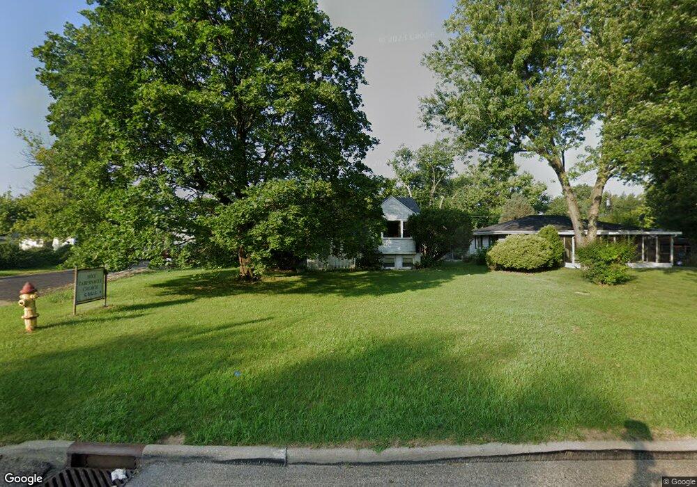
3505 N Gale Ave Peoria, IL 61604
El Vista NeighborhoodEstimated Value: $81,000 - $115,242
2
Beds
2
Baths
860
Sq Ft
$115/Sq Ft
Est. Value
About This Home
This home is located at 3505 N Gale Ave, Peoria, IL 61604 and is currently estimated at $99,061, approximately $115 per square foot. 3505 N Gale Ave is a home located in Peoria County with nearby schools including Dr Maude A Sanders Primary School, Sterling Middle School, and Peoria High School.
Ownership History
Date
Name
Owned For
Owner Type
Purchase Details
Closed on
Feb 12, 2001
Sold by
Frank Gordon and Frank Angie R
Bought by
Jackson Steven M and Jackson Jenicia A
Current Estimated Value
Home Financials for this Owner
Home Financials are based on the most recent Mortgage that was taken out on this home.
Original Mortgage
$45,000
Interest Rate
4.5%
Mortgage Type
New Conventional
Create a Home Valuation Report for This Property
The Home Valuation Report is an in-depth analysis detailing your home's value as well as a comparison with similar homes in the area
Home Values in the Area
Average Home Value in this Area
Purchase History
| Date | Buyer | Sale Price | Title Company |
|---|---|---|---|
| Jackson Steven M | $45,000 | -- | |
| Jackson Steven M | $45,000 | -- |
Source: Public Records
Mortgage History
| Date | Status | Borrower | Loan Amount |
|---|---|---|---|
| Previous Owner | Jackson Steven M | $45,000 |
Source: Public Records
Tax History Compared to Growth
Tax History
| Year | Tax Paid | Tax Assessment Tax Assessment Total Assessment is a certain percentage of the fair market value that is determined by local assessors to be the total taxable value of land and additions on the property. | Land | Improvement |
|---|---|---|---|---|
| 2024 | $2,022 | $28,350 | $3,780 | $24,570 |
| 2023 | $1,883 | $26,010 | $3,470 | $22,540 |
| 2022 | $1,903 | $25,730 | $3,320 | $22,410 |
| 2021 | $1,839 | $24,500 | $3,160 | $21,340 |
| 2020 | $1,830 | $24,260 | $3,130 | $21,130 |
| 2019 | $1,868 | $24,750 | $3,190 | $21,560 |
| 2018 | $1,897 | $25,480 | $3,220 | $22,260 |
| 2017 | $1,902 | $25,730 | $3,250 | $22,480 |
| 2016 | $1,838 | $25,730 | $3,250 | $22,480 |
| 2015 | $2,098 | $25,230 | $3,190 | $22,040 |
| 2014 | $2,105 | $28,790 | $3,030 | $25,760 |
| 2013 | -- | $29,140 | $3,070 | $26,070 |
Source: Public Records
Map
Nearby Homes
- 3423 N El Vista Ave
- 2221 W Tripp Ave
- 3623 N Sterling Ave Unit b-17
- 2318 W Albany Ave
- 2036 W Richwoods Blvd
- 2315 W Hudson St
- 3720 N Saint Michael Ave
- 2011 W Richwoods Blvd
- 2705 W Millbrook Ct
- 2214 W Bainter Ln
- 2029 W Forrest Hill Ave
- 4011 N Sterling Ave
- 3808 N Walround Ln
- 3114 N Elmcroft Terrace
- 2909 N Mission Rd
- 3010 W Brookside Dr
- 2910 W Westport Rd
- 2214 W Arrowhead Ln
- 2703 N Golf Dr
- 2822 N Easton Place
- 3509 N Gale Ave
- 3513 N Gale Ave
- 3445 N Gale Ave
- 3410 N El Vista Ave
- 3425 N Leroy Ave
- 3517 N Gale Ave
- 3412 N El Vista Ave
- 3416 N El Vista Ave
- 3441 N Gale Ave
- 3504 N Gale Ave
- 3420 N El Vista Ave
- 3521 N Gale Ave
- 3510 N Gale Ave
- 3439 N Gale Ave
- 3420 N Leroy Ave
- 3424 N El Vista Ave
- 3512 N Gale Ave
- 3426 N El Vista Ave
- 3523 N Gale Ave
- 3514 N Gale Ave