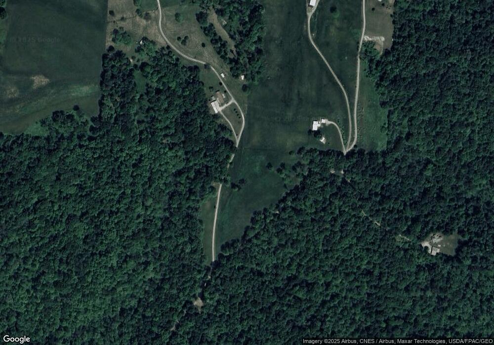
3505 S River Rd Zanesville, OH 43701
Estimated Value: $233,000 - $352,077
2
Beds
2
Baths
1,040
Sq Ft
$278/Sq Ft
Est. Value
About This Home
This home is located at 3505 S River Rd, Zanesville, OH 43701 and is currently estimated at $289,026, approximately $277 per square foot. 3505 S River Rd is a home located in Muskingum County with nearby schools including West Muskingum High School, Bishop Fenwick School, and Zanesville SDA Elementary School.
Ownership History
Date
Name
Owned For
Owner Type
Purchase Details
Closed on
Feb 8, 2022
Sold by
Fisher Thomas E
Bought by
Fisher Ralph
Current Estimated Value
Home Financials for this Owner
Home Financials are based on the most recent Mortgage that was taken out on this home.
Original Mortgage
$264,500
Interest Rate
3.55%
Mortgage Type
New Conventional
Purchase Details
Closed on
May 13, 2011
Sold by
B & H Properties
Bought by
Fisher Thomas E
Purchase Details
Closed on
Apr 25, 1994
Bought by
B & H Properties
Create a Home Valuation Report for This Property
The Home Valuation Report is an in-depth analysis detailing your home's value as well as a comparison with similar homes in the area
Home Values in the Area
Average Home Value in this Area
Purchase History
| Date | Buyer | Sale Price | Title Company |
|---|---|---|---|
| Fisher Ralph | $83,000 | Eickelberger Scott D | |
| Fisher Thomas E | $75,000 | Seo Title Agency Ltd | |
| B & H Properties | $13,300 | -- |
Source: Public Records
Mortgage History
| Date | Status | Borrower | Loan Amount |
|---|---|---|---|
| Closed | Fisher Ralph | $264,500 |
Source: Public Records
Tax History Compared to Growth
Tax History
| Year | Tax Paid | Tax Assessment Tax Assessment Total Assessment is a certain percentage of the fair market value that is determined by local assessors to be the total taxable value of land and additions on the property. | Land | Improvement |
|---|---|---|---|---|
| 2024 | $1,709 | $60,760 | $29,680 | $31,080 |
| 2023 | $45 | $13,090 | $13,090 | $0 |
| 2022 | $44 | $13,090 | $13,090 | $0 |
| 2021 | $43 | $13,090 | $13,090 | $0 |
| 2020 | $44 | $13,090 | $13,090 | $0 |
| 2019 | $542 | $13,090 | $13,090 | $0 |
| 2018 | $270 | $13,090 | $13,090 | $0 |
| 2017 | $397 | $9,345 | $9,345 | $0 |
| 2016 | $399 | $9,350 | $9,350 | $0 |
| 2015 | $412 | $9,350 | $9,350 | $0 |
| 2013 | $385 | $9,350 | $9,350 | $0 |
Source: Public Records
Map
Nearby Homes
- 3025 Virginia Ave
- 0 Bateman Rd
- 145 E Willow Dr
- 3125 E Highland Dr
- 3025 Linden Ave
- 270 E Highland Dr
- 3490 Regans Way
- 3425 Regans Way
- 3400 Dresden Rd
- 300 Walker Dr
- 2868 Crestway Dr
- 125 Summerwood Cir
- 1736 Forest Hills Cir
- 3095 E Winding Way
- 3245 Circle Ct
- 2760 E Military Rd
- 3845 Dresden Rd
- 3250 Dale Rd
- 2751 E Ridgewood Cir
- 2740 W Ridgewood Cir
- 0 Hale Rd
- 50 Hale Rd
- 3421 N River Rd W
- 3421 N River Rd W
- 3490 Riverside Airport Rd
- 3480 Riverside Airport Rd
- 3470 Riverside Airport Rd
- 3510 Riverside Airport Rd
- 3520 Riverside Airport Rd
- 3530 Riverside Airport Rd
- 3460 Riverside Airport Rd
- 3540 Riverside Airport Rd
- 3450 Riverside Airport Rd
- 3450 Riverside Airport Rd
- 3550 Riverside Airport Rd
- 3440 Riverside Airport Rd
- 3556 Riverside Airport Rd
- 3560 Riverside Airport Rd
- 3745 N River Rd W
- 3430 Riverside Airport Rd
