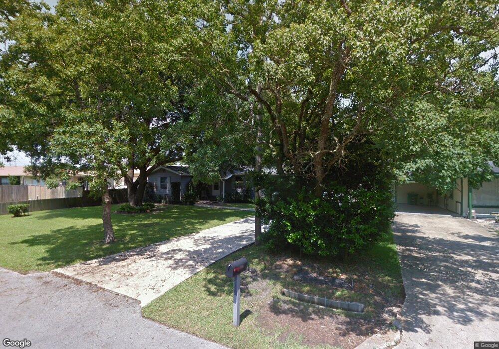
3506 Phillip St Moss Point, MS 39563
Estimated Value: $80,670 - $94,000
Studio
1
Bath
1,054
Sq Ft
$83/Sq Ft
Est. Value
About This Home
This home is located at 3506 Phillip St, Moss Point, MS 39563 and is currently estimated at $87,668, approximately $83 per square foot. 3506 Phillip St is a home located in Jackson County with nearby schools including Kreole Primary Elementary School, Escatawpa Upper Elementary School, and Magnolia Middle School.
Ownership History
Date
Name
Owned For
Owner Type
Purchase Details
Closed on
Feb 10, 2021
Sold by
Yates John P
Bought by
Margaret Misenar
Current Estimated Value
Home Financials for this Owner
Home Financials are based on the most recent Mortgage that was taken out on this home.
Original Mortgage
$54,444
Outstanding Balance
$48,248
Interest Rate
2.7%
Mortgage Type
Stand Alone Refi Refinance Of Original Loan
Estimated Equity
$39,420
Purchase Details
Closed on
Jul 21, 2014
Sold by
Linda Linda
Bought by
Yates John Paul
Create a Home Valuation Report for This Property
The Home Valuation Report is an in-depth analysis detailing your home's value as well as a comparison with similar homes in the area
Home Values in the Area
Average Home Value in this Area
Purchase History
| Date | Buyer | Sale Price | Title Company |
|---|---|---|---|
| Margaret Misenar | -- | None Available | |
| Yates John Paul | -- | Island Winds Title Co Llc |
Source: Public Records
Mortgage History
| Date | Status | Borrower | Loan Amount |
|---|---|---|---|
| Open | Margaret Misenar | $54,444 |
Source: Public Records
Tax History
| Year | Tax Paid | Tax Assessment Tax Assessment Total Assessment is a certain percentage of the fair market value that is determined by local assessors to be the total taxable value of land and additions on the property. | Land | Improvement |
|---|---|---|---|---|
| 2025 | -- | $2,998 | $415 | $2,583 |
| 2024 | -- | $2,810 | $401 | $2,409 |
| 2023 | $0 | $2,810 | $401 | $2,409 |
| 2022 | $0 | $2,810 | $401 | $2,409 |
| 2021 | $697 | $4,266 | $602 | $3,664 |
| 2020 | $696 | $4,222 | $692 | $3,530 |
| 2019 | $694 | $4,222 | $692 | $3,530 |
| 2018 | $694 | $4,222 | $692 | $3,530 |
| 2017 | $662 | $4,043 | $692 | $3,351 |
| 2016 | $0 | $2,695 | $461 | $2,234 |
| 2015 | -- | $27,070 | $4,610 | $22,460 |
| 2014 | -- | $2,707 | $461 | $2,246 |
| 2013 | -- | $2,707 | $461 | $2,246 |
Source: Public Records
Map
Nearby Homes
- 6109 Shortcut Rd
- 0 Highway 63 Hwy Unit 4047997
- 0 Fairwood Dr
- 0 Fairwood Cir
- 3912 Juniper St
- 0 Second St Unit 4128441
- 3901 Camellia St
- 6401 Frederick St
- 3907 Branch St
- 5601 Arrowhead Dr
- 6418 Walnut St
- 0 Shortcut Rd
- 6525 Jasmine St
- 0 Community Unit 4110207
- 0 Community Unit 4110221
- 4813 King James Dr
- 6519 Linda Cir
- 3609 Doris Cir
- 0 Highway 90 Unit 4132408
- 4301 Briggs St
- 3506 Phillips St
- 3500 Phillip St
- 3500 Phillips St
- 3507 Boone St
- 0000 Boone St
- 0 Boone Unit 3299724
- 3513 Boone St
- 5918 Shortcut Rd
- 5912 Shortcut Rd
- 5906 Shortcut Rd
- 5913 Shortcut Rd
- 5907 Shortcut Rd
- 0 Temple St
- 3506 Temple St
- 3519 Phillip St
- 3512 Temple St
- 6007 Shortcut Rd
- 3537 Boone St
- 3537 Boone St
- 3518 Temple St
Your Personal Tour Guide
Ask me questions while you tour the home.